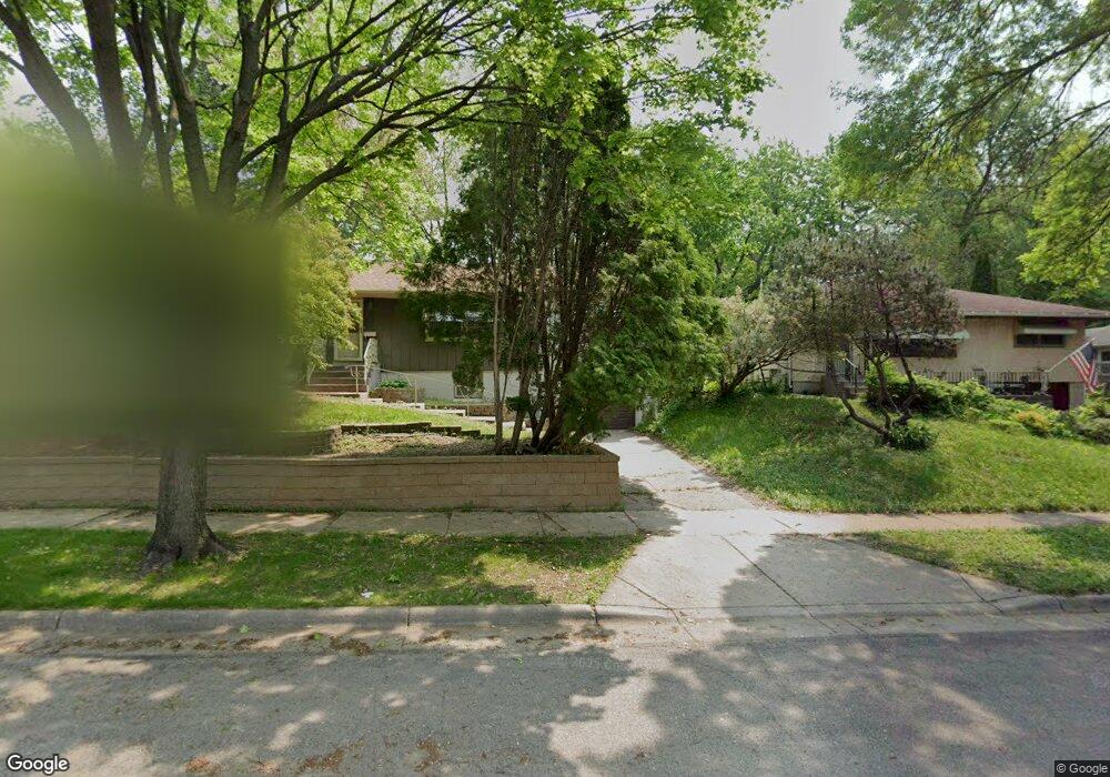
1428 Mcafee St Saint Paul, MN 55106
Estimated Value: $265,694 - $276,000
3
Beds
1
Bath
1,410
Sq Ft
$192/Sq Ft
Est. Value
About This Home
This home is located at 1428 Mcafee St, Saint Paul, MN 55106 and is currently estimated at $270,174, approximately $191 per square foot. 1428 Mcafee St is a home located in Ramsey County with nearby schools including Frost Lake Elementary School, Txuj Ci HMong Language and Culture Upper Campus, and Johnson Senior High School.
Ownership History
Date
Name
Owned For
Owner Type
Purchase Details
Closed on
Nov 22, 2021
Sold by
Kleppen James Ole and Kleppen Nicole
Bought by
Robinson Stephanie
Current Estimated Value
Home Financials for this Owner
Home Financials are based on the most recent Mortgage that was taken out on this home.
Original Mortgage
$225,834
Outstanding Balance
$207,110
Interest Rate
3.05%
Mortgage Type
FHA
Estimated Equity
$63,064
Purchase Details
Closed on
Oct 23, 1998
Sold by
Hud
Bought by
Kleppen James Ole
Purchase Details
Closed on
Jan 29, 1996
Sold by
Szokolai George
Bought by
White Rick A
Create a Home Valuation Report for This Property
The Home Valuation Report is an in-depth analysis detailing your home's value as well as a comparison with similar homes in the area
Home Values in the Area
Average Home Value in this Area
Purchase History
| Date | Buyer | Sale Price | Title Company |
|---|---|---|---|
| Robinson Stephanie | $230,000 | Edgewater Title Group Llc | |
| Kleppen James Ole | $73,000 | -- | |
| White Rick A | $69,900 | -- |
Source: Public Records
Mortgage History
| Date | Status | Borrower | Loan Amount |
|---|---|---|---|
| Open | Robinson Stephanie | $225,834 | |
| Closed | White Rick A | -- |
Source: Public Records
Tax History Compared to Growth
Tax History
| Year | Tax Paid | Tax Assessment Tax Assessment Total Assessment is a certain percentage of the fair market value that is determined by local assessors to be the total taxable value of land and additions on the property. | Land | Improvement |
|---|---|---|---|---|
| 2025 | $3,526 | $244,600 | $30,000 | $214,600 |
| 2023 | $3,526 | $230,100 | $25,000 | $205,100 |
| 2022 | $2,868 | $249,100 | $25,000 | $224,100 |
| 2021 | $2,860 | $191,500 | $25,000 | $166,500 |
| 2020 | $2,704 | $187,900 | $17,000 | $170,900 |
| 2019 | $2,542 | $164,600 | $17,000 | $147,600 |
| 2018 | $2,160 | $153,500 | $17,000 | $136,500 |
| 2017 | $2,252 | $141,300 | $17,000 | $124,300 |
| 2016 | $2,086 | $0 | $0 | $0 |
| 2015 | $2,008 | $126,400 | $17,000 | $109,400 |
| 2014 | $1,572 | $0 | $0 | $0 |
Source: Public Records
Map
Nearby Homes
- 1377 Clarence St
- 1357 Birmingham St
- 1450 Arlington Ave E
- 1567 Atlantic St
- 1229 Clarence St
- 1221 Clarence St
- 866 Clear Ave E
- 1343 Maryland Ave E
- 1639 Clarence St
- 1635 Maryland Ave E
- 1583 Nevada Ave E
- 1562 Ivy Ave E
- 1672 Manton St
- 1186 Duluth St
- 1607 Hoyt Ave E
- 1435 Price Ave
- 1532 Larpenteur Ave E
- 1714 Duluth St
- 1730 Atlantic St
- 1114 Lane Place
- 1434 Mcafee St
- 1422 Mcafee St
- 1440 Mcafee St
- 1414 Mcafee St
- 1423 Clarence St
- 1427 Clarence St
- 1419 Clarence St
- 1433 Clarence St
- 1415 Clarence St
- 1408 Mcafee St
- 1356 Arlington Ave E
- 1433 Mcafee St
- 1421 Mcafee St
- 1439 Mcafee St
- 1407 Clarence St
- 1402 Mcafee St
- 1415 Mcafee St
- 1339 Arlington Ave E
- 1409 Mcafee St
- 1401 Clarence St