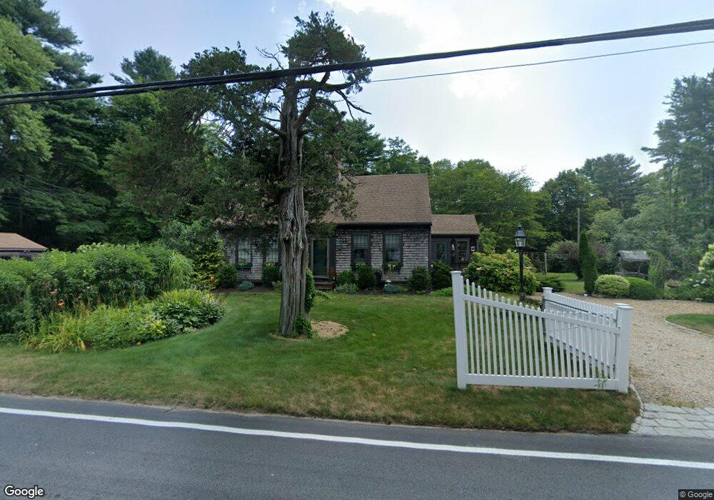
146 County Rd West Wareham, MA 02576
Estimated Value: $442,000 - $501,000
3
Beds
1
Bath
1,554
Sq Ft
$299/Sq Ft
Est. Value
About This Home
This home is located at 146 County Rd, West Wareham, MA 02576 and is currently estimated at $464,415, approximately $298 per square foot. 146 County Rd is a home located in Plymouth County with nearby schools including Tabor Academy.
Ownership History
Date
Name
Owned For
Owner Type
Purchase Details
Closed on
Apr 29, 2025
Sold by
Poulin Peter A and Poulin Michael A
Bought by
Wing Robert D
Current Estimated Value
Home Financials for this Owner
Home Financials are based on the most recent Mortgage that was taken out on this home.
Original Mortgage
$300,000
Outstanding Balance
$297,852
Interest Rate
6.65%
Mortgage Type
Purchase Money Mortgage
Estimated Equity
$166,563
Purchase Details
Closed on
Feb 10, 2022
Sold by
Loughman William J
Bought by
Loughman William J and Poulin Peter A
Create a Home Valuation Report for This Property
The Home Valuation Report is an in-depth analysis detailing your home's value as well as a comparison with similar homes in the area
Purchase History
| Date | Buyer | Sale Price | Title Company |
|---|---|---|---|
| Wing Robert D | $429,900 | None Available | |
| Wing Robert D | $429,900 | None Available | |
| Wing Robert D | $429,900 | None Available | |
| Wing Robert D | $429,900 | None Available | |
| Loughman William J | -- | None Available | |
| Loughman William J | -- | None Available |
Source: Public Records
Mortgage History
| Date | Status | Borrower | Loan Amount |
|---|---|---|---|
| Open | Wing Robert D | $300,000 | |
| Closed | Wing Robert D | $300,000 |
Source: Public Records
Tax History
| Year | Tax Paid | Tax Assessment Tax Assessment Total Assessment is a certain percentage of the fair market value that is determined by local assessors to be the total taxable value of land and additions on the property. | Land | Improvement |
|---|---|---|---|---|
| 2025 | $4,256 | $408,400 | $127,100 | $281,300 |
| 2024 | $4,390 | $390,900 | $101,900 | $289,000 |
| 2023 | $3,862 | $347,000 | $92,700 | $254,300 |
| 2022 | $3,862 | $293,000 | $92,700 | $200,300 |
| 2021 | $3,813 | $283,500 | $92,700 | $190,800 |
| 2020 | $3,633 | $274,000 | $92,700 | $181,300 |
| 2019 | $3,586 | $269,800 | $98,000 | $171,800 |
| 2018 | $3,335 | $244,700 | $98,000 | $146,700 |
| 2017 | $3,206 | $238,400 | $98,000 | $140,400 |
| 2016 | $3,165 | $233,900 | $102,800 | $131,100 |
| 2015 | $3,057 | $233,900 | $102,800 | $131,100 |
| 2014 | $2,887 | $224,700 | $97,800 | $126,900 |
Source: Public Records
Map
Nearby Homes
- 127 County Rd
- 119 County Rd
- 245 Wareham Rd
- 4 Blackhall Ct
- 929 Point Rd
- 5 Hermitage Rd
- 17 Fieldstone Ln
- 13 Fieldstone Ln
- 2 Quelle Ln
- 12 Taft St
- 14 Briarwood Dr
- 2 Edwards Bridge Rd
- 4 Roosevelt St
- 15 14th Ave
- 82 Pierce St
- 9 Woodville Way
- 170 Dexter Ln
- 214 Walnut Plain Rd
- 0 Cromesett Rd (Off) Unit 73385395
- 31 Cross Rd
Your Personal Tour Guide
Ask me questions while you tour the home.