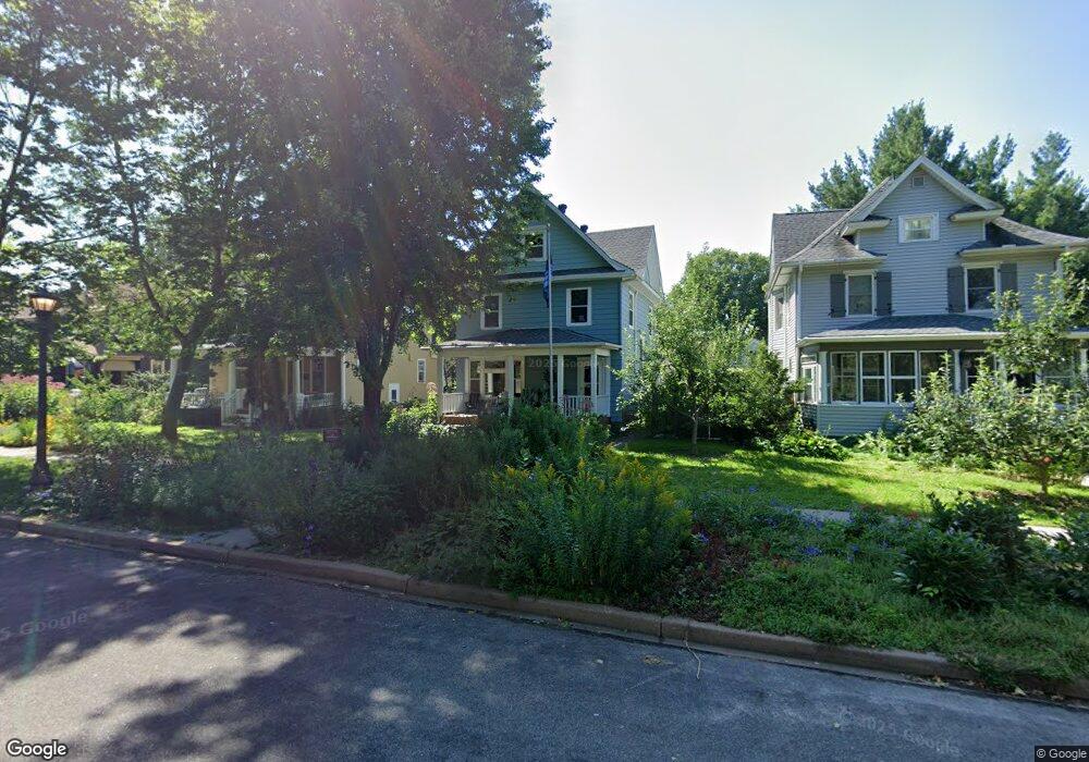
1504 Ashland Ave Saint Paul, MN 55104
Union Park NeighborhoodEstimated Value: $453,000 - $537,000
3
Beds
1
Bath
1,436
Sq Ft
$354/Sq Ft
Est. Value
About This Home
This home is located at 1504 Ashland Ave, Saint Paul, MN 55104 and is currently estimated at $508,261, approximately $353 per square foot. 1504 Ashland Ave is a home located in Ramsey County with nearby schools including Maxfield Magnet Elementary School, Hidden River Middle School, and Central Senior High School.
Ownership History
Date
Name
Owned For
Owner Type
Purchase Details
Closed on
Oct 31, 2023
Sold by
Juliusson Richard and Juliusson Sarah
Bought by
Landis Frederic
Current Estimated Value
Home Financials for this Owner
Home Financials are based on the most recent Mortgage that was taken out on this home.
Original Mortgage
$201,500
Outstanding Balance
$197,764
Interest Rate
7.18%
Mortgage Type
New Conventional
Estimated Equity
$310,497
Purchase Details
Closed on
Aug 31, 2018
Sold by
Darling Kathleen P
Bought by
Juliusson Sarah and Juliusson Richard
Home Financials for this Owner
Home Financials are based on the most recent Mortgage that was taken out on this home.
Original Mortgage
$240,800
Interest Rate
4.5%
Mortgage Type
New Conventional
Create a Home Valuation Report for This Property
The Home Valuation Report is an in-depth analysis detailing your home's value as well as a comparison with similar homes in the area
Home Values in the Area
Average Home Value in this Area
Purchase History
| Date | Buyer | Sale Price | Title Company |
|---|---|---|---|
| Landis Frederic | $516,500 | -- | |
| Juliusson Sarah | $301,000 | None Available |
Source: Public Records
Mortgage History
| Date | Status | Borrower | Loan Amount |
|---|---|---|---|
| Open | Landis Frederic | $201,500 | |
| Previous Owner | Juliusson Sarah | $240,800 |
Source: Public Records
Tax History Compared to Growth
Tax History
| Year | Tax Paid | Tax Assessment Tax Assessment Total Assessment is a certain percentage of the fair market value that is determined by local assessors to be the total taxable value of land and additions on the property. | Land | Improvement |
|---|---|---|---|---|
| 2025 | $7,806 | $509,100 | $105,600 | $403,500 |
| 2024 | $7,806 | $478,900 | $105,600 | $373,300 |
| 2023 | $7,806 | $506,000 | $105,600 | $400,400 |
| 2022 | $6,824 | $495,100 | $105,600 | $389,500 |
| 2021 | $6,466 | $421,700 | $105,600 | $316,100 |
| 2020 | $4,290 | $414,400 | $105,600 | $308,800 |
| 2019 | $4,028 | $265,400 | $105,600 | $159,800 |
| 2018 | $3,566 | $239,500 | $105,600 | $133,900 |
| 2017 | $3,454 | $228,600 | $105,600 | $123,000 |
| 2016 | $3,564 | $0 | $0 | $0 |
| 2015 | $3,590 | $228,600 | $105,600 | $123,000 |
| 2014 | $3,356 | $0 | $0 | $0 |
Source: Public Records
Map
Nearby Homes
- 1510 Laurel Ave
- 1540 Ashland Ave Unit 12
- 750 Summit Ave
- 1447 Hague Ave
- 184 Saratoga St N
- 1670 Ashland Ave
- 1354 Grand Ave
- 266 Fry St
- 1325 Dayton Ave
- 1671 Marshall Ave
- 1253 Ashland Ave
- 1611 Carroll Ave
- 1259 Hague Ave
- 12XX Marshall Ave
- 1247 Selby Ave
- 142 Cambridge St
- 193 Griggs St N
- 1200 Portland Ave
- 1217 Grand Ave
- 1201 Hague Ave
- 1500 Ashland Ave
- 1508 Ashland Ave
- 1496 Ashland Ave
- 1514 Ashland Ave
- 1516 Ashland Ave Unit B
- 1516 Ashland Ave Unit D
- 1516 Ashland Ave Unit A
- 1516 Ashland Ave Unit C
- 1490 Ashland Ave
- 1503 Portland Ave
- 1507 Portland Ave
- 1499 Portland Ave
- 1516 1516 Ashland-Avenue-
- 1516 1516 Ashland Ave
- 1484 Ashland Ave Unit 101
- 1484 Ashland Ave
- 1511 Portland Ave
- 1503 Ashland Ave
- 1517 Portland Ave Unit C
- 1517 Portland Ave