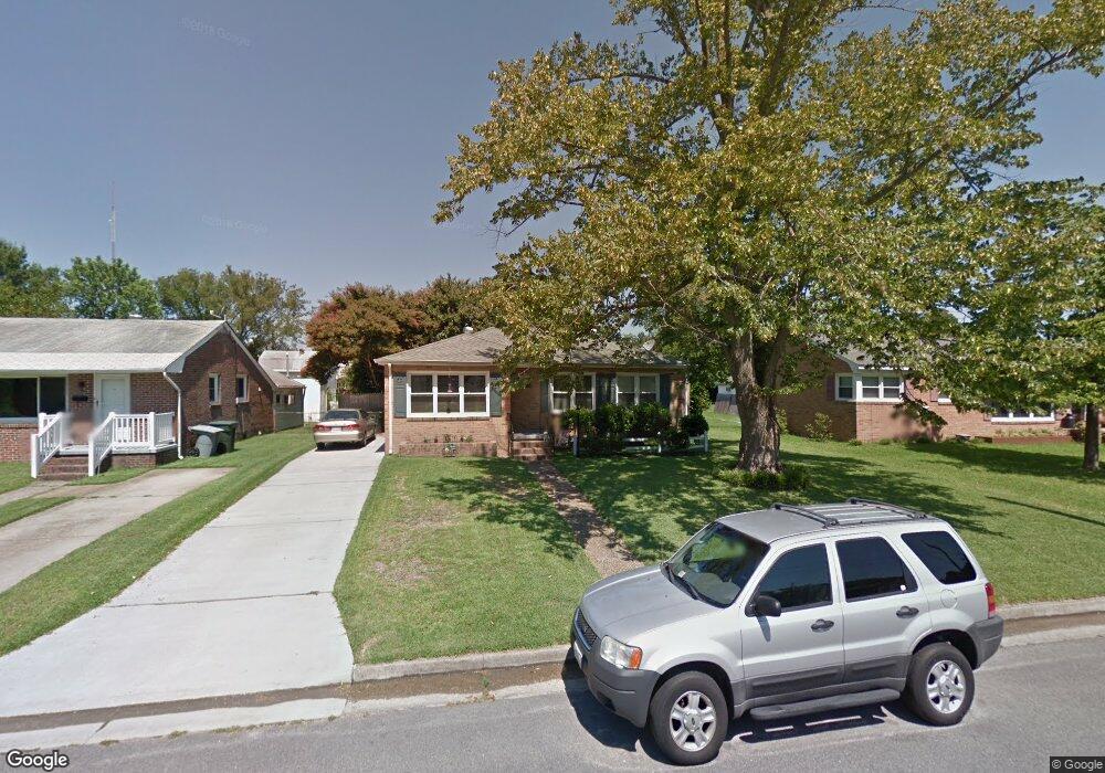
1519 Denton Dr Hampton, VA 23664
Estimated Value: $197,000 - $217,661
3
Beds
1
Bath
1,051
Sq Ft
$196/Sq Ft
Est. Value
About This Home
This home is located at 1519 Denton Dr, Hampton, VA 23664 and is currently estimated at $205,665, approximately $195 per square foot. 1519 Denton Dr is a home located in Hampton City with nearby schools including Jane H. Bryan Elementary School, Benjamin Syms Middle School, and Phoebus High School.
Ownership History
Date
Name
Owned For
Owner Type
Purchase Details
Closed on
Dec 11, 2015
Sold by
The Last Will And Testament Of Kenneth M
Bought by
Nelson Christopher R
Current Estimated Value
Home Financials for this Owner
Home Financials are based on the most recent Mortgage that was taken out on this home.
Original Mortgage
$108,007
Outstanding Balance
$85,071
Interest Rate
3.75%
Mortgage Type
FHA
Estimated Equity
$120,594
Create a Home Valuation Report for This Property
The Home Valuation Report is an in-depth analysis detailing your home's value as well as a comparison with similar homes in the area
Purchase History
| Date | Buyer | Sale Price | Title Company |
|---|---|---|---|
| Nelson Christopher R | $110,000 | Equity Title Company |
Source: Public Records
Mortgage History
| Date | Status | Borrower | Loan Amount |
|---|---|---|---|
| Open | Nelson Christopher R | $108,007 |
Source: Public Records
Tax History
| Year | Tax Paid | Tax Assessment Tax Assessment Total Assessment is a certain percentage of the fair market value that is determined by local assessors to be the total taxable value of land and additions on the property. | Land | Improvement |
|---|---|---|---|---|
| 2025 | $2,191 | $190,700 | $60,000 | $130,700 |
| 2024 | $1,912 | $166,300 | $60,000 | $106,300 |
| 2023 | $1,769 | $152,500 | $55,000 | $97,500 |
| 2022 | $1,644 | $139,300 | $45,000 | $94,300 |
| 2021 | $1,630 | $121,000 | $40,000 | $81,000 |
| 2020 | $1,479 | $119,300 | $36,400 | $82,900 |
| 2019 | $1,479 | $119,300 | $36,400 | $82,900 |
| 2018 | $1,553 | $116,100 | $36,400 | $79,700 |
| 2017 | $1,534 | $0 | $0 | $0 |
| 2016 | $1,534 | $116,100 | $0 | $0 |
| 2015 | $1,534 | $0 | $0 | $0 |
| 2014 | $1,587 | $121,200 | $36,400 | $84,800 |
Source: Public Records
Map
Nearby Homes
- 1510 Denton Dr
- 1642 N Mallory St
- 17 Seaview Dr
- 1527 Grove St
- 604 Old Buckroe Rd
- 9 Bayview Ct
- 2112 E Pembroke Ave
- 714 Grove St
- 2051 Richard Ave
- 1333 N Mallory St
- 438 Shelton Rd
- 1938 Long Green Ln
- 6 Langille Ct
- 1915 Long Green Ln
- 1909 Long Green Ln
- 515 Buckroe Ave
- 405 Buckroe Ave
- 1622 Old Buckroe Rd
- 1923 Rawood Dr
- 123 N Sixth St
- 1517 Denton Dr
- 1521 Denton Dr
- 1515 Denton Dr
- 1520 Hermitage Place
- 1523 Denton Dr
- 1518 Hermitage Place
- 1522 Hermitage Place
- 1516 Hermitage Place
- 1524 Hermitage Place
- 16 Harwood Ave
- 15 Whitaker Ave
- 1520 Denton Dr
- 1518 Denton Dr
- 1522 Denton Dr
- 18 Harwood Ave
- 1516 Denton Dr
- 17 Whitaker Ave
- 1524 Denton Dr
- 1514 Denton Dr
- 7 Whitaker Ave
Your Personal Tour Guide
Ask me questions while you tour the home.