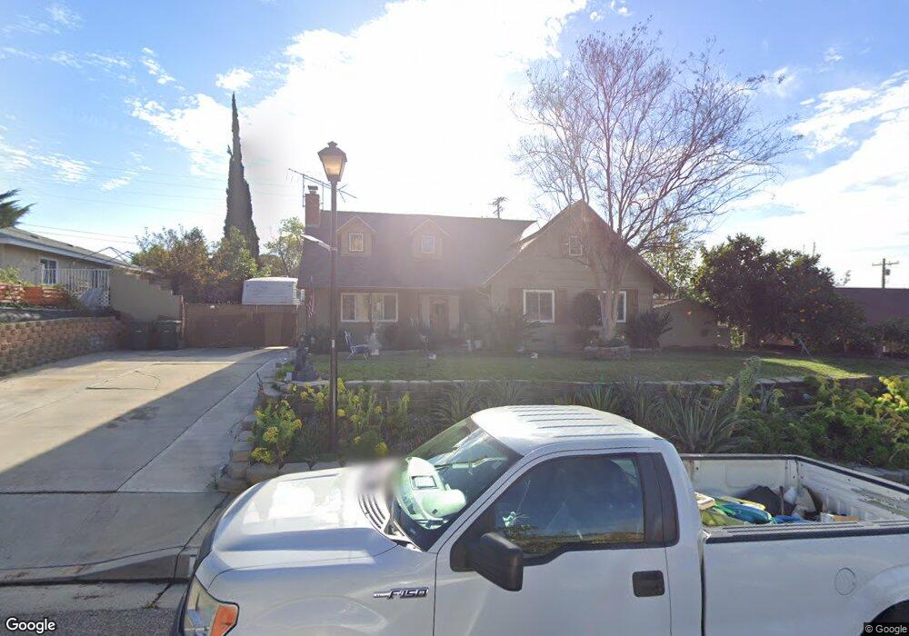
152 E Manfield St Riverside, CA 92507
University NeighborhoodEstimated Value: $703,000 - $771,000
4
Beds
3
Baths
2,208
Sq Ft
$334/Sq Ft
Est. Value
About This Home
This home is located at 152 E Manfield St, Riverside, CA 92507 and is currently estimated at $737,770, approximately $334 per square foot. 152 E Manfield St is a home located in Riverside County with nearby schools including Highland Elementary, University Heights Middle School, and John W. North High School.
Ownership History
Date
Name
Owned For
Owner Type
Purchase Details
Closed on
Feb 2, 2022
Sold by
Boyer Paul R and Boyer Maria J
Bought by
Boyer Family Trust
Current Estimated Value
Purchase Details
Closed on
Jun 9, 2004
Sold by
Boyer Paul R
Bought by
Boyer Paul R and Boyer Maria J
Purchase Details
Closed on
Sep 9, 2003
Sold by
Boyer Paul Richard
Bought by
Boyer Paul Richard
Purchase Details
Closed on
May 28, 1996
Sold by
Boyer Mary H
Bought by
Boyer Mary Harpster
Create a Home Valuation Report for This Property
The Home Valuation Report is an in-depth analysis detailing your home's value as well as a comparison with similar homes in the area
Home Values in the Area
Average Home Value in this Area
Purchase History
| Date | Buyer | Sale Price | Title Company |
|---|---|---|---|
| Boyer Family Trust | -- | Boyer Paul Richard | |
| Boyer Paul R | -- | -- | |
| Boyer Paul Richard | -- | -- | |
| Boyer Mary Harpster | -- | -- |
Source: Public Records
Tax History
| Year | Tax Paid | Tax Assessment Tax Assessment Total Assessment is a certain percentage of the fair market value that is determined by local assessors to be the total taxable value of land and additions on the property. | Land | Improvement |
|---|---|---|---|---|
| 2025 | $1,359 | $127,575 | $20,792 | $106,783 |
| 2023 | $1,351 | $122,624 | $19,986 | $102,638 |
| 2022 | $1,326 | $120,221 | $19,595 | $100,626 |
| 2021 | $1,321 | $117,864 | $19,211 | $98,653 |
| 2020 | $1,311 | $116,657 | $19,015 | $97,642 |
| 2019 | $1,286 | $114,371 | $18,643 | $95,728 |
| 2018 | $1,260 | $112,129 | $18,279 | $93,850 |
| 2017 | $1,237 | $109,931 | $17,921 | $92,010 |
| 2016 | $1,160 | $107,776 | $17,570 | $90,206 |
| 2015 | $1,142 | $106,159 | $17,307 | $88,852 |
| 2014 | $1,129 | $104,081 | $16,969 | $87,112 |
Source: Public Records
Map
Nearby Homes
- 4495 Mt Vernon Ave
- 7 Gage
- 20682 Hill Top Dr
- 138 Green Oaks Dr
- 3415 Valencia Hill Dr
- 511 Athens St
- 230 E Blaine St
- 0 Pettegrew Rd Unit IV25281686
- 375 Central Ave Unit 83
- 5110 Caldera Ct
- 3160 Terrace Dr
- 461 W Blaine St
- 0 Harvard Way
- 587 W Blaine St
- 2935 Galaxie Heights Rd
- 3000 Galaxie Rd
- 5005 Pearblossom Dr
- 20517 Claremont Ave
- 564 Via Pueblo
- 3085 Flanders Rd
- 162 E Manfield St
- 142 E Manfield St
- 172 E Manfield St
- 132 E Manfield St
- 151 E Manfield St
- 161 E Manfield St
- 141 E Manfield St
- 182 E Manfield St
- 122 E Manfield St
- 171 E Manfield St
- 131 E Manfield St
- 112 E Manfield St
- 192 E Manfield St
- 191 E Manfield St
- 146 Masters Ave
- 140 Masters Ave
- 150 Masters Ave
- 134 Masters Ave
- 188 Masters Ave
- 102 E Manfield St