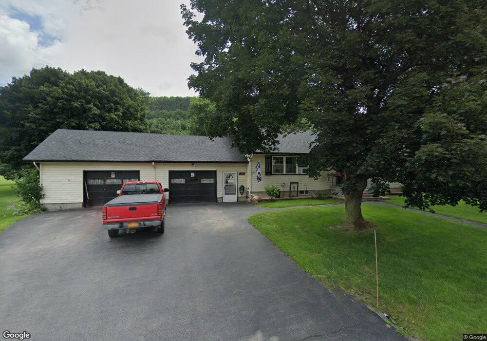
152 Union St Middleburgh, NY 12122
Estimated Value: $231,000 - $294,000
2
Beds
2
Baths
1,500
Sq Ft
$169/Sq Ft
Est. Value
About This Home
This home is located at 152 Union St, Middleburgh, NY 12122 and is currently estimated at $253,112, approximately $168 per square foot. 152 Union St is a home located in Schoharie County with nearby schools including Middleburgh Elementary School, Middleburgh High School, and Country Classroom.
Ownership History
Date
Name
Owned For
Owner Type
Purchase Details
Closed on
Nov 16, 2011
Sold by
Smith Kenneth
Bought by
Bartholomew Claude
Current Estimated Value
Home Financials for this Owner
Home Financials are based on the most recent Mortgage that was taken out on this home.
Original Mortgage
$107,211
Outstanding Balance
$69,841
Interest Rate
3.75%
Mortgage Type
FHA
Estimated Equity
$183,271
Purchase Details
Closed on
Apr 4, 2008
Sold by
Smith Estate Jerome
Bought by
Smith Kenneth
Create a Home Valuation Report for This Property
The Home Valuation Report is an in-depth analysis detailing your home's value as well as a comparison with similar homes in the area
Home Values in the Area
Average Home Value in this Area
Purchase History
| Date | Buyer | Sale Price | Title Company |
|---|---|---|---|
| Bartholomew Claude | $110,000 | Kelly Malloy | |
| Smith Kenneth | -- | Michael Breen |
Source: Public Records
Mortgage History
| Date | Status | Borrower | Loan Amount |
|---|---|---|---|
| Open | Bartholomew Claude | $107,211 |
Source: Public Records
Tax History
| Year | Tax Paid | Tax Assessment Tax Assessment Total Assessment is a certain percentage of the fair market value that is determined by local assessors to be the total taxable value of land and additions on the property. | Land | Improvement |
|---|---|---|---|---|
| 2024 | $5,150 | $77,000 | $14,400 | $62,600 |
| 2023 | $4,514 | $77,000 | $14,400 | $62,600 |
| 2022 | $3,901 | $77,000 | $14,400 | $62,600 |
| 2021 | $4,292 | $77,000 | $14,400 | $62,600 |
| 2020 | $3,922 | $77,000 | $14,400 | $62,600 |
| 2019 | $3,863 | $77,000 | $14,400 | $62,600 |
| 2018 | $3,863 | $77,000 | $14,400 | $62,600 |
| 2017 | $3,832 | $77,000 | $14,400 | $62,600 |
| 2016 | $3,799 | $77,000 | $14,400 | $62,600 |
| 2015 | -- | $77,000 | $14,400 | $62,600 |
| 2014 | -- | $77,000 | $14,400 | $62,600 |
Source: Public Records
Map
Nearby Homes
- 157 Grove St
- 0 - L16 Mount Path
- L16 Mount Path
- 136 Wells Ave
- 106 Grove St
- 272 Main St
- 120 Danforth Ave
- 232 Main St
- 107 Railroad Ave
- 233 Main St
- 320 Main St
- 0 Gorge Rd
- L14.12 New York 30
- 103 Middlefort Rd
- 00WP Cotton Hill Rd
- 130 Marjorie Ln
- 133 Marjorie Ln Unit 2
- 133 Marjorie Ln Unit 4
- 133 Marjorie Ln Unit 1
- 133 Marjorie Ln Unit 3
Your Personal Tour Guide
Ask me questions while you tour the home.