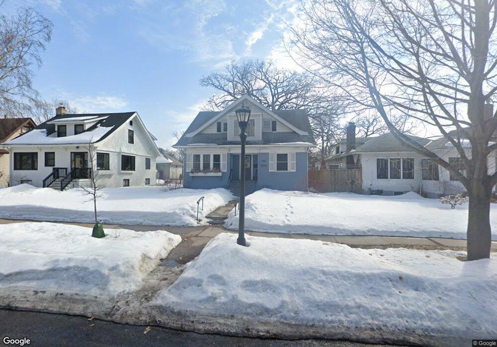
1550 Laurel Ave Saint Paul, MN 55104
Union Park NeighborhoodEstimated Value: $533,000 - $588,000
5
Beds
3
Baths
2,192
Sq Ft
$259/Sq Ft
Est. Value
About This Home
This home is located at 1550 Laurel Ave, Saint Paul, MN 55104 and is currently estimated at $567,690, approximately $258 per square foot. 1550 Laurel Ave is a home located in Ramsey County with nearby schools including Maxfield Magnet Elementary School, Hidden River Middle School, and Central Senior High School.
Ownership History
Date
Name
Owned For
Owner Type
Purchase Details
Closed on
Aug 29, 2019
Sold by
Merkan Corporation
Bought by
Devries Rachel Faith and Devries William Lee
Current Estimated Value
Home Financials for this Owner
Home Financials are based on the most recent Mortgage that was taken out on this home.
Original Mortgage
$399,000
Outstanding Balance
$349,493
Interest Rate
3.6%
Mortgage Type
New Conventional
Estimated Equity
$218,197
Purchase Details
Closed on
Jan 28, 2019
Sold by
Davis Malik and Gaston Natalia
Bought by
Merkan Corp
Create a Home Valuation Report for This Property
The Home Valuation Report is an in-depth analysis detailing your home's value as well as a comparison with similar homes in the area
Home Values in the Area
Average Home Value in this Area
Purchase History
| Date | Buyer | Sale Price | Title Company |
|---|---|---|---|
| Devries Rachel Faith | $420,000 | Entitle Inc | |
| Merkan Corp | $270,000 | Gibraltar Title Agency Llc |
Source: Public Records
Mortgage History
| Date | Status | Borrower | Loan Amount |
|---|---|---|---|
| Open | Devries Rachel Faith | $399,000 |
Source: Public Records
Tax History Compared to Growth
Tax History
| Year | Tax Paid | Tax Assessment Tax Assessment Total Assessment is a certain percentage of the fair market value that is determined by local assessors to be the total taxable value of land and additions on the property. | Land | Improvement |
|---|---|---|---|---|
| 2025 | $7,868 | $563,600 | $123,400 | $440,200 |
| 2023 | $7,868 | $509,400 | $123,400 | $386,000 |
| 2022 | $6,856 | $490,500 | $123,400 | $367,100 |
| 2021 | $6,470 | $423,700 | $123,400 | $300,300 |
| 2020 | $4,918 | $414,600 | $123,400 | $291,200 |
| 2019 | $5,270 | $300,400 | $123,400 | $177,000 |
| 2018 | $3,988 | $273,500 | $123,400 | $150,100 |
| 2017 | $3,894 | $253,200 | $123,400 | $129,800 |
| 2016 | $4,018 | $0 | $0 | $0 |
| 2015 | $4,058 | $253,200 | $123,400 | $129,800 |
| 2014 | $3,680 | $0 | $0 | $0 |
Source: Public Records
Map
Nearby Homes
- 1540 Ashland Ave Unit 12
- 1510 Laurel Ave
- 184 Saratoga St N
- 1447 Hague Ave
- 1670 Ashland Ave
- 750 Summit Ave
- 266 Fry St
- 1671 Marshall Ave
- 1611 Carroll Ave
- 1325 Dayton Ave
- 1354 Grand Ave
- 1798 Marshall Ave
- 1821 Selby Ave
- 382 Fry St
- 12XX Marshall Ave
- 389 Roy St N
- 1796 Iglehart Ave
- 142 Cambridge St
- 1259 Hague Ave
- 1253 Ashland Ave
- 1556 Laurel Ave
- 1546 Laurel Ave
- 1560 Laurel Ave
- 1540 Laurel Ave
- 1562 Laurel Ave
- 1534 Laurel Ave
- 1549 Ashland Ave
- 1553 Ashland Ave
- 1545 Ashland Ave
- 1551 Laurel Ave
- 1555 Laurel Ave
- 1545 Laurel Ave
- 1561 Laurel Ave
- 1541 Ashland Ave
- 114 Snelling Ave N
- 1528 Laurel Ave
- 112 Snelling Ave N
- 1541 Laurel Ave
- 1541 1541 Laurel Ave
- 1565 Laurel Ave