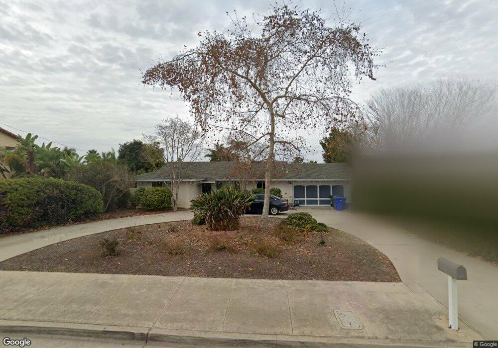
1555 Avocado Rd Oceanside, CA 92054
Fire Mountain NeighborhoodEstimated Value: $1,041,381 - $1,428,000
3
Beds
2
Baths
1,575
Sq Ft
$813/Sq Ft
Est. Value
About This Home
This home is located at 1555 Avocado Rd, Oceanside, CA 92054 and is currently estimated at $1,280,095, approximately $812 per square foot. 1555 Avocado Rd is a home located in San Diego County with nearby schools including Palmquist Elementary School, Lincoln Middle School, and Oceanside High School.
Ownership History
Date
Name
Owned For
Owner Type
Purchase Details
Closed on
Aug 3, 2021
Sold by
Angela Mancino Salvatrice
Bought by
2017 Mancino Revocable Family Trust
Current Estimated Value
Purchase Details
Closed on
Sep 14, 2016
Sold by
Mancino Joseph Anthony
Bought by
Mancino Joseph and Mancino Salvatrice Angela
Purchase Details
Closed on
Jul 21, 2016
Sold by
Mancino Candice Angela
Bought by
Mancino Joseph and Mancino Salvatrice Angela
Purchase Details
Closed on
May 17, 2016
Sold by
Mancino Joseph and Mancino Salvatrice Angela
Bought by
Mancino Joseph and Mancino Salvatrice Angela
Purchase Details
Closed on
Jul 15, 2009
Sold by
Mancino Joseph and Mancino Salvatrice Angela
Bought by
Mancino Joseph and Mancino Salvatrice Angela
Purchase Details
Closed on
Mar 6, 1996
Sold by
Mancino Salvatrice Angela and Mancino Joseph
Bought by
Mancino Joseph and Mancino Salvatrice Angela
Create a Home Valuation Report for This Property
The Home Valuation Report is an in-depth analysis detailing your home's value as well as a comparison with similar homes in the area
Home Values in the Area
Average Home Value in this Area
Purchase History
| Date | Buyer | Sale Price | Title Company |
|---|---|---|---|
| 2017 Mancino Revocable Family Trust | -- | -- | |
| Mancino Joseph | -- | None Available | |
| Mancino Joseph | -- | None Available | |
| Mancino Joseph | -- | None Available | |
| Mancino Joseph | -- | None Available | |
| Mancino Joseph | -- | -- |
Source: Public Records
Tax History
| Year | Tax Paid | Tax Assessment Tax Assessment Total Assessment is a certain percentage of the fair market value that is determined by local assessors to be the total taxable value of land and additions on the property. | Land | Improvement |
|---|---|---|---|---|
| 2025 | $2,599 | $232,415 | $64,546 | $167,869 |
| 2024 | $2,599 | $227,859 | $63,281 | $164,578 |
| 2023 | $2,519 | $223,392 | $62,041 | $161,351 |
| 2022 | $2,481 | $219,013 | $60,825 | $158,188 |
| 2021 | $2,490 | $214,720 | $59,633 | $155,087 |
| 2020 | $2,414 | $212,519 | $59,022 | $153,497 |
| 2019 | $2,345 | $208,353 | $57,865 | $150,488 |
| 2018 | $2,321 | $204,269 | $56,731 | $147,538 |
| 2017 | $2,278 | $200,265 | $55,619 | $144,646 |
| 2016 | $2,204 | $196,339 | $54,529 | $141,810 |
| 2015 | $2,141 | $193,390 | $53,710 | $139,680 |
| 2014 | $2,059 | $189,602 | $52,658 | $136,944 |
Source: Public Records
Map
Nearby Homes
- 2241 California St
- 1520 Downs St
- 2309 Loker Way
- 2306 Loker Way
- 2308 Loker Way
- 2312 Loker Way
- 2311 Loker Way
- 2277 Dunstan St
- 1782 Troy Ln
- 1355 Knoll Dr
- 1858 Avocado Rd
- 1773 Ivy Rd
- 1305 Cornish Dr
- 2070 Rue de la Montagne
- 1390 Blue Port Way
- 2619 Fire Mountain Dr
- 1916 Laurel Rd
- 1720 California St
- 2245 Ivy Rd
- 1607 Hunsaker St
- 1515 Avocado Rd
- 1587 Avocado Rd
- 2227 California St
- 1528 Downs St
- 1603 Avocado Rd
- 2215 California St
- 1530 Downs St
- 1548 Avocado Rd
- 1586 Avocado Rd
- 1542 Avocado Rd
- 1526 Downs St
- 2272 California St
- 2268 California St
- 1538 Molly Cir
- 1605 Avocado Rd
- 1532 Downs St
- 2203 California St
- 1598 Avocado Rd
- 2309 California St
- 1509 Avocado Rd
Your Personal Tour Guide
Ask me questions while you tour the home.