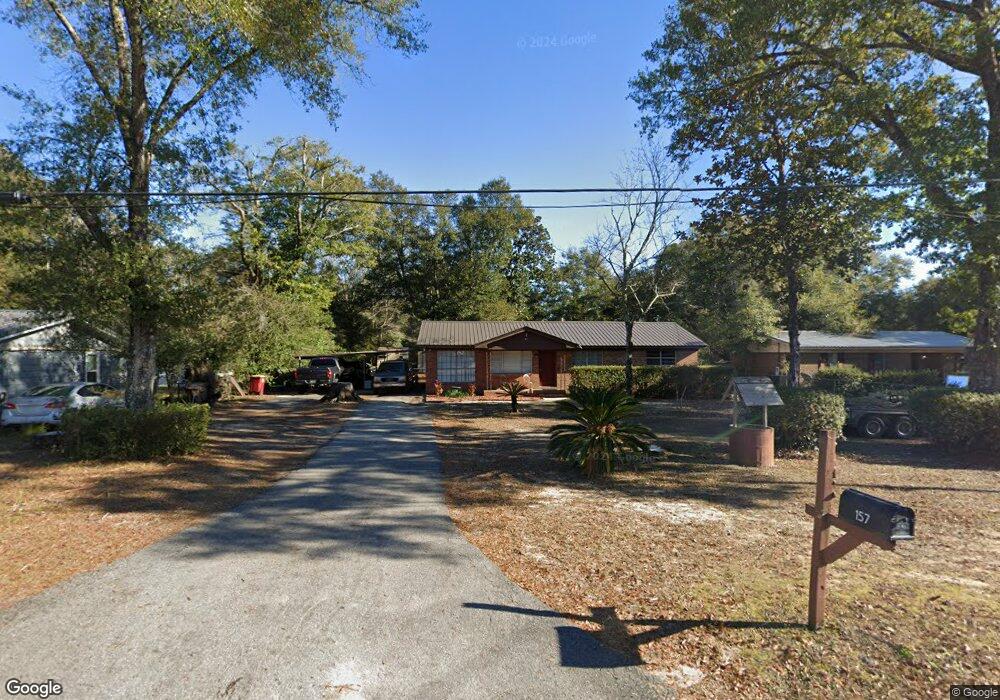
157 Mcarthur St Crestview, FL 32539
Estimated Value: $217,000 - $257,000
4
Beds
3
Baths
1,678
Sq Ft
$142/Sq Ft
Est. Value
About This Home
This home is located at 157 Mcarthur St, Crestview, FL 32539 and is currently estimated at $238,471, approximately $142 per square foot. 157 Mcarthur St is a home located in Okaloosa County with nearby schools including Northwood Elementary School, Davidson Middle School, and Crestview High School.
Ownership History
Date
Name
Owned For
Owner Type
Purchase Details
Closed on
Jun 13, 2018
Sold by
Eckard Donna
Bought by
Wyatt Brian and Wyatt Jackie
Current Estimated Value
Purchase Details
Closed on
Mar 31, 2016
Sold by
Young David A and Griggs Johana
Bought by
Eckard Donna M and Eckard Milton S
Purchase Details
Closed on
May 13, 2005
Sold by
Allred Dan Earl and Allred Margaret Tatta
Bought by
Young David A and Griggs Johana
Home Financials for this Owner
Home Financials are based on the most recent Mortgage that was taken out on this home.
Original Mortgage
$104,000
Interest Rate
5.98%
Mortgage Type
Fannie Mae Freddie Mac
Create a Home Valuation Report for This Property
The Home Valuation Report is an in-depth analysis detailing your home's value as well as a comparison with similar homes in the area
Home Values in the Area
Average Home Value in this Area
Purchase History
| Date | Buyer | Sale Price | Title Company |
|---|---|---|---|
| Wyatt Brian | -- | Attorney | |
| Eckard Donna M | $100,900 | Moulton Land Title Inc | |
| Young David A | $130,000 | Moulton Land Title Inc |
Source: Public Records
Mortgage History
| Date | Status | Borrower | Loan Amount |
|---|---|---|---|
| Previous Owner | Young David A | $104,000 |
Source: Public Records
Tax History
| Year | Tax Paid | Tax Assessment Tax Assessment Total Assessment is a certain percentage of the fair market value that is determined by local assessors to be the total taxable value of land and additions on the property. | Land | Improvement |
|---|---|---|---|---|
| 2025 | $1,682 | $147,947 | -- | -- |
| 2024 | $1,586 | $143,777 | -- | -- |
| 2023 | $1,586 | $139,589 | $0 | $0 |
| 2022 | $1,532 | $135,523 | $0 | $0 |
| 2021 | $1,515 | $131,576 | $0 | $0 |
| 2020 | $1,494 | $129,759 | $0 | $0 |
| 2019 | $1,463 | $126,842 | $28,713 | $98,129 |
| 2018 | $2,062 | $120,077 | $0 | $0 |
| 2017 | $1,964 | $112,885 | $0 | $0 |
| 2016 | $1,928 | $111,504 | $0 | $0 |
| 2015 | $1,819 | $105,171 | $0 | $0 |
| 2014 | $1,540 | $91,919 | $0 | $0 |
Source: Public Records
Map
Nearby Homes
- 308 Brannon Ct
- 103 Jamie Ct
- 200 Wainwright Dr
- 201 Wainwright Dr
- 498 Eisenhower Dr
- 499 Eisenhower Dr
- 503 Eisenhower Dr
- 104 Lear Ct
- 498 Alabama St
- 407 Eisenhower Dr
- 416 Eisenhower Dr
- 758 9th Ave
- 3 Lots Ridge Dr
- Parcel A Ridge Dr
- Parcel C Ridge Dr
- 968 Texas Pkwy
- 970 Texas Pkwy
- 322 Strawbridge Dr
- 548 Hyde Park Dr
- 191.95 Ac Highway 90
- 159 Mcarthur St
- 155 Mcarthur St
- 165 Mcarthur St
- 153 Mcarthur St
- 175 Mcarthur St
- 196 Mcarthur St
- 175 Mc Arthur St
- 176 Mcarthur St
- 198 Mcarthur St
- 535 Long Dr
- 152 Mcarthur St
- 152 Patch Ave
- 200 Mcarthur St
- 507 Long Dr
- 202 Mcarthur St
- 106 Mcarthur St
- 150 Patch Ave
- 204 Mcarthur St
- 191 Patton St
- 137 Patton St