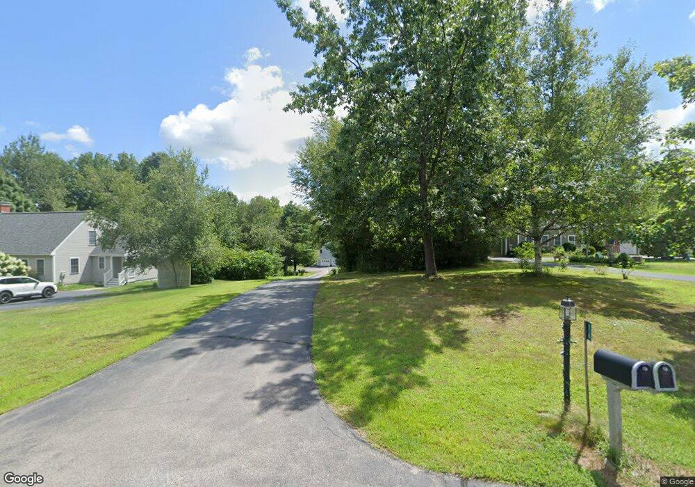
16 Riverside Farm Dr Lee, NH 03861
Estimated Value: $638,000 - $692,000
3
Beds
2
Baths
3,081
Sq Ft
$214/Sq Ft
Est. Value
About This Home
This home is located at 16 Riverside Farm Dr, Lee, NH 03861 and is currently estimated at $660,798, approximately $214 per square foot. 16 Riverside Farm Dr is a home located in Strafford County with nearby schools including Mast Way School, Oyster River Middle School, and Oyster River High School.
Ownership History
Date
Name
Owned For
Owner Type
Purchase Details
Closed on
Dec 20, 2019
Sold by
Bower Raymond F
Bought by
Anne L Nichols 2008 Ret
Current Estimated Value
Purchase Details
Closed on
Sep 14, 2016
Sold by
Murdoch Thomas E
Bought by
Thomas E Murdoch Ret
Purchase Details
Closed on
Jul 15, 1998
Sold by
Fee Stephen M
Bought by
Murdock Thomas E and Murdock Patricia A
Home Financials for this Owner
Home Financials are based on the most recent Mortgage that was taken out on this home.
Original Mortgage
$112,100
Interest Rate
6.98%
Create a Home Valuation Report for This Property
The Home Valuation Report is an in-depth analysis detailing your home's value as well as a comparison with similar homes in the area
Home Values in the Area
Average Home Value in this Area
Purchase History
Date | Buyer | Sale Price | Title Company |
---|---|---|---|
Anne L Nichols 2008 Ret | $389,933 | None Available | |
Thomas E Murdoch Ret | -- | -- | |
Murdock Thomas E | $118,000 | -- | |
Thomas E Murdoch Ret | -- | -- | |
Murdock Thomas E | $118,000 | -- |
Source: Public Records
Mortgage History
Date | Status | Borrower | Loan Amount |
---|---|---|---|
Previous Owner | Murdock Thomas E | $83,000 | |
Previous Owner | Murdock Thomas E | $112,100 |
Source: Public Records
Tax History Compared to Growth
Tax History
Year | Tax Paid | Tax Assessment Tax Assessment Total Assessment is a certain percentage of the fair market value that is determined by local assessors to be the total taxable value of land and additions on the property. | Land | Improvement |
---|---|---|---|---|
2023 | $10,898 | $461,200 | $209,400 | $251,800 |
2022 | $10,017 | $461,200 | $209,400 | $251,800 |
2021 | $10,040 | $461,200 | $209,400 | $251,800 |
2020 | $8,793 | $276,000 | $81,500 | $194,500 |
2019 | $8,691 | $276,000 | $81,500 | $194,500 |
2018 | $8,459 | $276,700 | $81,500 | $195,200 |
2017 | $8,284 | $276,700 | $81,500 | $195,200 |
2016 | $8,096 | $276,800 | $81,500 | $195,300 |
2015 | $8,035 | $274,700 | $76,000 | $198,700 |
2014 | $8,159 | $274,700 | $76,000 | $198,700 |
2012 | $8,225 | $274,700 | $76,000 | $198,700 |
Source: Public Records
Map
Nearby Homes
- 30 Duff Thompson Ln
- 2 Depot Ln
- 7 Piper Ln
- 382 N River Rd
- 1 Haley Ct
- 11 Plumer Ln
- 305 Grant Rd
- 10 Johnson Dr
- 22 Comac Rd
- 246 Lee Hook Rd
- 30 Fox Ridge Rd
- 4 Thompson Mill Rd
- 5 Hedding Rd Unit Map 016 Lot 058
- 32 Stage Rd
- 306 Ash Swamp Rd
- 113 N River Rd Unit Lot 2
- 111 N River Rd Unit Lot 1
- 153 Coffin Rd Unit 2
- 46 Dorothy Dr
- 39 Dorothy Dr
- 16 Riverside Farm Dr
- 14 Riverside Farm Dr
- 18 Riverside Farm Dr
- 12 Riverside Farm Dr
- 20 Riverside Farm Dr
- 22 Riverside Farm Dr
- 10 Riverside Farm Dr
- 11 Riverside Farm Dr
- 24 Riverside Farm Dr
- 8 Riverside Farm Dr
- 13 Riverside Farm Dr
- 15 Riverside Farm Dr
- 9 Riverside Farm Dr
- 6 Riverside Farm Dr
- 7 Riverside Farm Dr
- 17 Riverside Farm Dr
- 4 Riverside Farm Dr
- 5 Riverside Farm Dr
- 26 Riverside Farm Dr
- 19 Riverside Farm Dr