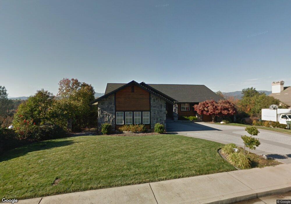
1616 Saint Andrews Dr Redding, CA 96003
Gold Hills NeighborhoodEstimated Value: $619,000 - $705,999
4
Beds
4
Baths
3,355
Sq Ft
$196/Sq Ft
Est. Value
About This Home
This home is located at 1616 Saint Andrews Dr, Redding, CA 96003 and is currently estimated at $657,250, approximately $195 per square foot. 1616 Saint Andrews Dr is a home located in Shasta County with nearby schools including Columbia Elementary School, Mountain View Middle School, and Foothill High School.
Ownership History
Date
Name
Owned For
Owner Type
Purchase Details
Closed on
Jan 30, 2023
Sold by
Valencia David and Valencia Bryn
Bought by
Valencia Family Trust
Current Estimated Value
Purchase Details
Closed on
Dec 18, 2019
Sold by
Riley Cathleen L
Bought by
Valencia David and Valencia Bryn
Home Financials for this Owner
Home Financials are based on the most recent Mortgage that was taken out on this home.
Original Mortgage
$371,250
Interest Rate
3.6%
Mortgage Type
New Conventional
Purchase Details
Closed on
Feb 23, 2011
Sold by
Marsh Lois
Bought by
Marsh Lois D
Create a Home Valuation Report for This Property
The Home Valuation Report is an in-depth analysis detailing your home's value as well as a comparison with similar homes in the area
Home Values in the Area
Average Home Value in this Area
Purchase History
| Date | Buyer | Sale Price | Title Company |
|---|---|---|---|
| Valencia Family Trust | -- | -- | |
| Valencia David | $412,500 | Placer Title Company | |
| Marsh Lois D | -- | None Available |
Source: Public Records
Mortgage History
| Date | Status | Borrower | Loan Amount |
|---|---|---|---|
| Previous Owner | Valencia David | $371,250 |
Source: Public Records
Tax History Compared to Growth
Tax History
| Year | Tax Paid | Tax Assessment Tax Assessment Total Assessment is a certain percentage of the fair market value that is determined by local assessors to be the total taxable value of land and additions on the property. | Land | Improvement |
|---|---|---|---|---|
| 2025 | $5,649 | $519,464 | $82,021 | $437,443 |
| 2024 | $4,969 | $509,279 | $80,413 | $428,866 |
| 2023 | $4,969 | $433,608 | $78,837 | $354,771 |
| 2022 | $4,792 | $425,107 | $77,292 | $347,815 |
| 2021 | $4,769 | $416,773 | $75,777 | $340,996 |
| 2020 | $4,735 | $412,500 | $75,000 | $337,500 |
| 2019 | $4,433 | $390,000 | $90,000 | $300,000 |
| 2018 | $4,371 | $370,800 | $92,700 | $278,100 |
| 2017 | $4,375 | $360,000 | $90,000 | $270,000 |
| 2016 | $4,113 | $355,000 | $85,000 | $270,000 |
| 2015 | $4,110 | $355,000 | $85,000 | $270,000 |
| 2014 | $3,756 | $325,000 | $85,000 | $240,000 |
Source: Public Records
Map
Nearby Homes
- 6038 Gleneagles Ct
- 6173 Brassie Way
- 1633 Wee Burn Ct
- 1533 Spanish Bay Dr
- 6260 Carmel Dr
- 1779 Player Ct
- 6040 Constitution Way
- 5852 Avery Way
- 6180 Lucca Trail
- 2169 Hope Ln
- 11632 Ridgewood Rd
- 5810 Diamond Ridge Dr
- 5569 Diamond Ridge Dr
- 1050 Hillsdale Ct
- 5592 Diamond Ridge Dr
- 948 & 950 Hawley
- 12009 Theresa Ln
- 1102 Hope Ln
- 1355 Hope Ln
- 621 Collyer Dr
- 1616 St Andrews Dr
- 1630 Saint Andrews Dr Unit 1
- 1630 Saint Andrews Dr
- 1596 Saint Andrews Dr
- 1538 Saint Andrews Dr
- #78 Saint Andrews Dr
- 0000 Saint Andrews Dr
- 0 Saint Andrews Dr
- 1596 St Andrews Dr
- 1625 Saint Andrews Dr
- 1644 Saint Andrews Dr
- 1639 Saint Andrews Dr
- 1584 Saint Andrews Dr
- 6116 Brassie Way
- 1587 Saint Andrews Dr
- 1658 Saint Andrews Dr
- 1655 Saint Andrews Dr
- 1572 St Andrews Dr
- 1575 Saint Andrews Dr
- 1572 Saint Andrews Dr