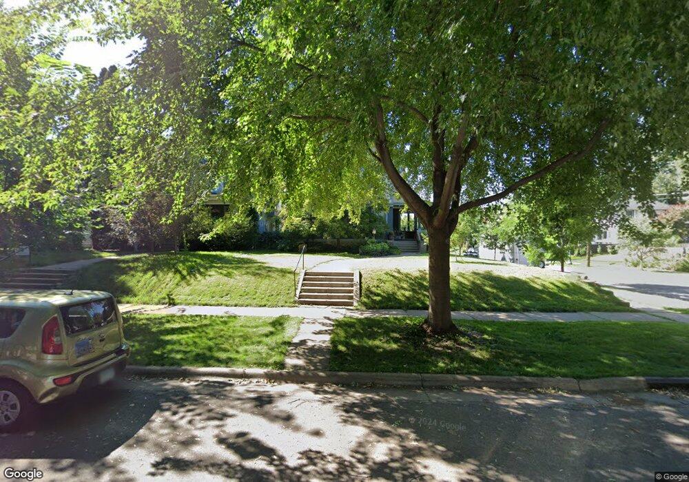
1626 Portland Ave Saint Paul, MN 55104
Union Park NeighborhoodEstimated Value: $798,000 - $936,000
5
Beds
3
Baths
2,765
Sq Ft
$313/Sq Ft
Est. Value
About This Home
This home is located at 1626 Portland Ave, Saint Paul, MN 55104 and is currently estimated at $865,391, approximately $312 per square foot. 1626 Portland Ave is a home located in Ramsey County with nearby schools including Groveland Park Elementary School, Hidden River Middle School, and Central Senior High School.
Ownership History
Date
Name
Owned For
Owner Type
Purchase Details
Closed on
May 31, 2019
Sold by
Mckenzie Abigail E and Lancaster Richard R
Bought by
Schroepfer Lucienne Spalding and Schroepfer William George
Current Estimated Value
Home Financials for this Owner
Home Financials are based on the most recent Mortgage that was taken out on this home.
Original Mortgage
$572,000
Outstanding Balance
$503,937
Interest Rate
4.2%
Mortgage Type
New Conventional
Estimated Equity
$361,454
Purchase Details
Closed on
Jul 25, 1996
Sold by
Repp William W and Goertz Roxann R
Bought by
Lancaster Richard R and Mckenzie Abigail E
Create a Home Valuation Report for This Property
The Home Valuation Report is an in-depth analysis detailing your home's value as well as a comparison with similar homes in the area
Home Values in the Area
Average Home Value in this Area
Purchase History
| Date | Buyer | Sale Price | Title Company |
|---|---|---|---|
| Schroepfer Lucienne Spalding | $715,000 | Results Title | |
| Lancaster Richard R | $279,900 | -- |
Source: Public Records
Mortgage History
| Date | Status | Borrower | Loan Amount |
|---|---|---|---|
| Open | Schroepfer Lucienne Spalding | $572,000 |
Source: Public Records
Tax History Compared to Growth
Tax History
| Year | Tax Paid | Tax Assessment Tax Assessment Total Assessment is a certain percentage of the fair market value that is determined by local assessors to be the total taxable value of land and additions on the property. | Land | Improvement |
|---|---|---|---|---|
| 2025 | $12,594 | $870,500 | $139,100 | $731,400 |
| 2023 | $12,594 | $766,100 | $139,100 | $627,000 |
| 2022 | $12,676 | $804,600 | $139,100 | $665,500 |
| 2021 | $12,098 | $736,000 | $139,100 | $596,900 |
| 2020 | $13,488 | $717,100 | $139,100 | $578,000 |
| 2019 | $12,406 | $739,700 | $139,100 | $600,600 |
| 2018 | $11,666 | $680,200 | $139,100 | $541,100 |
| 2017 | $11,192 | $662,200 | $139,100 | $523,100 |
| 2016 | $10,550 | $0 | $0 | $0 |
| 2015 | $9,518 | $607,700 | $139,100 | $468,600 |
| 2014 | $10,094 | $0 | $0 | $0 |
Source: Public Records
Map
Nearby Homes
- 1670 Ashland Ave
- 1540 Ashland Ave Unit 12
- 1510 Laurel Ave
- 750 Summit Ave
- 184 Saratoga St N
- 142 Cambridge St
- 1671 Marshall Ave
- 1447 Hague Ave
- 266 Fry St
- 1821 Selby Ave
- 1798 Marshall Ave
- 1826 Goodrich Ave
- 1611 Carroll Ave
- 1836 Marshall Ave
- 1796 Iglehart Ave
- 1354 Grand Ave
- 1917 Summit Ave Unit 2
- 1920 Laurel Ave
- 1787 Carroll Ave
- 1926 Lincoln Ave
- 1620 Portland Ave
- 1616 Portland Ave
- 1634 1634 Portland Ave
- 1634 Portland Ave
- 29 Fry St
- 1610 Portland Ave
- 1640 Portland Ave
- 1604 Portland Ave
- 1623 Summit Ave
- 1621 Summit Ave
- 1625 Portland Ave
- 1642 Portland Ave
- 1617 Summit Ave
- 1621 Portland Ave
- 1635 Summit Ave
- 1615 Portland Ave
- 1633 Portland Ave
- 1648 Portland Ave
- 1609 Portland Ave
- 1645 Summit Ave