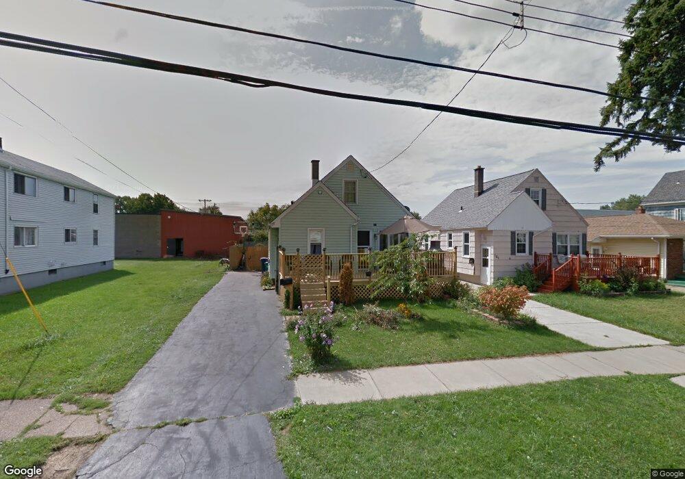
163 Ladner Ave Buffalo, NY 14220
Hopkins-Tifft NeighborhoodEstimated Value: $145,000 - $202,763
3
Beds
1
Bath
1,092
Sq Ft
$163/Sq Ft
Est. Value
About This Home
This home is located at 163 Ladner Ave, Buffalo, NY 14220 and is currently estimated at $178,191, approximately $163 per square foot. 163 Ladner Ave is a home located in Erie County with nearby schools including Western New York Maritime Charter School, Bishop Timon-St. Jude High School, and Mount Mercy Academy.
Ownership History
Date
Name
Owned For
Owner Type
Purchase Details
Closed on
Aug 2, 2006
Sold by
Thompson Claudia J and Gerth Hildegard W
Bought by
Czaplicki Michelle D
Current Estimated Value
Home Financials for this Owner
Home Financials are based on the most recent Mortgage that was taken out on this home.
Original Mortgage
$48,000
Outstanding Balance
$33,504
Interest Rate
10%
Mortgage Type
Purchase Money Mortgage
Estimated Equity
$144,687
Create a Home Valuation Report for This Property
The Home Valuation Report is an in-depth analysis detailing your home's value as well as a comparison with similar homes in the area
Home Values in the Area
Average Home Value in this Area
Purchase History
| Date | Buyer | Sale Price | Title Company |
|---|---|---|---|
| Czaplicki Michelle D | $48,000 | Ticor Title Insurance Co |
Source: Public Records
Mortgage History
| Date | Status | Borrower | Loan Amount |
|---|---|---|---|
| Open | Czaplicki Michelle D | $48,000 |
Source: Public Records
Tax History Compared to Growth
Tax History
| Year | Tax Paid | Tax Assessment Tax Assessment Total Assessment is a certain percentage of the fair market value that is determined by local assessors to be the total taxable value of land and additions on the property. | Land | Improvement |
|---|---|---|---|---|
| 2024 | $448 | $80,000 | $7,300 | $72,700 |
| 2023 | $405 | $80,000 | $7,300 | $72,700 |
| 2022 | $402 | $80,000 | $7,300 | $72,700 |
| 2021 | $402 | $80,000 | $7,300 | $72,700 |
| 2020 | $383 | $80,000 | $7,300 | $72,700 |
| 2019 | $1,364 | $49,700 | $5,600 | $44,100 |
| 2018 | $1,283 | $49,700 | $5,600 | $44,100 |
| 2017 | $296 | $49,700 | $5,600 | $44,100 |
| 2016 | $893 | $49,700 | $5,600 | $44,100 |
| 2015 | -- | $49,700 | $5,600 | $44,100 |
| 2014 | -- | $49,700 | $5,600 | $44,100 |
Source: Public Records
Map
Nearby Homes
- 189 W Woodside Ave
- 155 Altruria St
- 2065 S Park Ave
- 33 Harding Rd
- 52 Harding Rd
- 67 Lockwood Ave
- 35 W Woodside Ave
- 166 Amber St
- 89 Mariemont Ave
- 53 Choate Ave
- 190 Crystal Ave
- 66 Choate Ave
- 2267 S Park Ave
- 98 Ridgewood Rd
- 889 Tifft St
- 51 Ashton Place
- 53 Richfield Ave
- 827 Tifft St
- 32 Richfield Ave
- 289 Okell St