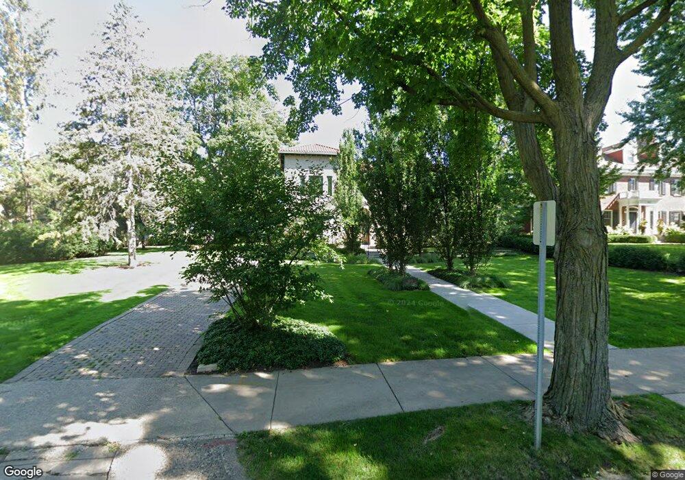
1649 Summit Ave Saint Paul, MN 55105
Union Park NeighborhoodEstimated Value: $1,739,000 - $1,946,794
5
Beds
5
Baths
5,892
Sq Ft
$308/Sq Ft
Est. Value
About This Home
This home is located at 1649 Summit Ave, Saint Paul, MN 55105 and is currently estimated at $1,816,265, approximately $308 per square foot. 1649 Summit Ave is a home located in Ramsey County with nearby schools including Groveland Park Elementary School, Hidden River Middle School, and Central Senior High School.
Ownership History
Date
Name
Owned For
Owner Type
Purchase Details
Closed on
Mar 27, 2017
Sold by
Morrison Charles Robert and Morrison Susan S
Bought by
Morrison Charles R and Morrison Susan S
Current Estimated Value
Purchase Details
Closed on
Nov 24, 2014
Sold by
Bona Brian J and Bona Jacqueline K
Bought by
Morrison Susan and Morrison Charles Robert
Purchase Details
Closed on
Dec 14, 2001
Sold by
Trooien Gerald L and Simmonds Janice V
Bought by
Bona Brian J and Bona Jacqueline K
Purchase Details
Closed on
Sep 4, 1998
Sold by
Goff Richard D and Goff Kathleen R
Bought by
Wherley Mitchell and Tuaolo Esera Tavai
Create a Home Valuation Report for This Property
The Home Valuation Report is an in-depth analysis detailing your home's value as well as a comparison with similar homes in the area
Home Values in the Area
Average Home Value in this Area
Purchase History
| Date | Buyer | Sale Price | Title Company |
|---|---|---|---|
| Morrison Charles R | -- | None Available | |
| Morrison Susan | $1,545,454 | Burnet Title | |
| Bona Brian J | $1,060,000 | -- | |
| Wherley Mitchell | $430,000 | -- |
Source: Public Records
Tax History Compared to Growth
Tax History
| Year | Tax Paid | Tax Assessment Tax Assessment Total Assessment is a certain percentage of the fair market value that is determined by local assessors to be the total taxable value of land and additions on the property. | Land | Improvement |
|---|---|---|---|---|
| 2025 | $29,112 | $1,873,300 | $536,700 | $1,336,600 |
| 2023 | $29,112 | $1,663,100 | $536,700 | $1,126,400 |
| 2022 | $30,114 | $1,663,100 | $536,700 | $1,126,400 |
| 2021 | $29,038 | $1,630,500 | $536,700 | $1,093,800 |
| 2020 | $31,332 | $1,630,500 | $536,700 | $1,093,800 |
| 2019 | $28,616 | $1,630,500 | $536,700 | $1,093,800 |
| 2018 | $27,968 | $1,482,300 | $536,700 | $945,600 |
| 2017 | $27,234 | $1,482,300 | $536,700 | $945,600 |
| 2016 | $28,148 | $0 | $0 | $0 |
| 2015 | $28,378 | $1,482,300 | $536,700 | $945,600 |
| 2014 | $29,716 | $0 | $0 | $0 |
Source: Public Records
Map
Nearby Homes
- 1670 Ashland Ave
- 1540 Ashland Ave Unit 12
- 1510 Laurel Ave
- 142 Cambridge St
- 750 Summit Ave
- 184 Saratoga St N
- 1671 Marshall Ave
- 1821 Selby Ave
- 1826 Goodrich Ave
- 266 Fry St
- 1798 Marshall Ave
- 1447 Hague Ave
- 1917 Summit Ave Unit 2
- 1836 Marshall Ave
- 1796 Iglehart Ave
- 1920 Laurel Ave
- 1611 Carroll Ave
- 1926 Lincoln Ave
- 1354 Grand Ave
- 1615 Stanford Ave
- 1665 Summit Ave
- 1374 Summit Ave
- 1645 Summit Ave
- 1635 Summit Ave
- 1654 Portland Ave
- 1654 1654 Portland Ave
- 1648 Portland Ave
- 1660 Portland Ave
- 1642 Portland Ave
- 1664 Portland Ave
- 1640 Portland Ave
- 29 Fry St
- 1671 Summit Ave
- 1673 Summit Ave
- 1634 Portland Ave
- 1634 1634 Portland Ave
- 1623 Summit Ave
- 1683 Summit Ave
- 1676 Portland Ave
- 1621 Summit Ave