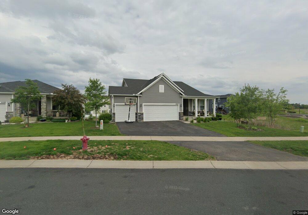
16570 Territorial Trail Maple Grove, MN 55369
Estimated Value: $538,000 - $580,000
2
Beds
2
Baths
1,962
Sq Ft
$284/Sq Ft
Est. Value
About This Home
This home is located at 16570 Territorial Trail, Maple Grove, MN 55369 and is currently estimated at $557,942, approximately $284 per square foot. 16570 Territorial Trail is a home located in Hennepin County with nearby schools including Fernbrook Elementary School, Osseo Middle School, and Maple Grove Senior High School.
Ownership History
Date
Name
Owned For
Owner Type
Purchase Details
Closed on
Feb 15, 2022
Sold by
Kaiser John R and Kaiser Kristine K
Bought by
Le Anh Hoang and Kaiser Kristine K
Current Estimated Value
Home Financials for this Owner
Home Financials are based on the most recent Mortgage that was taken out on this home.
Original Mortgage
$399,600
Outstanding Balance
$371,059
Interest Rate
3.55%
Mortgage Type
Balloon
Estimated Equity
$186,883
Purchase Details
Closed on
Dec 18, 2018
Sold by
Pulte Homes Of Minnesota Llc
Bought by
Kaiser John R and Kaiser Kristine K
Home Financials for this Owner
Home Financials are based on the most recent Mortgage that was taken out on this home.
Original Mortgage
$300,000
Interest Rate
4.9%
Mortgage Type
New Conventional
Create a Home Valuation Report for This Property
The Home Valuation Report is an in-depth analysis detailing your home's value as well as a comparison with similar homes in the area
Home Values in the Area
Average Home Value in this Area
Purchase History
| Date | Buyer | Sale Price | Title Company |
|---|---|---|---|
| Le Anh Hoang | $499,500 | Servion Title | |
| Kaiser John R | $462,345 | Pgp Title Inc |
Source: Public Records
Mortgage History
| Date | Status | Borrower | Loan Amount |
|---|---|---|---|
| Open | Le Anh Hoang | $399,600 | |
| Previous Owner | Kaiser John R | $300,000 |
Source: Public Records
Tax History Compared to Growth
Tax History
| Year | Tax Paid | Tax Assessment Tax Assessment Total Assessment is a certain percentage of the fair market value that is determined by local assessors to be the total taxable value of land and additions on the property. | Land | Improvement |
|---|---|---|---|---|
| 2024 | $6,944 | $540,300 | $94,000 | $446,300 |
| 2023 | $6,483 | $516,500 | $96,000 | $420,500 |
| 2022 | $6,078 | $490,000 | $88,000 | $402,000 |
| 2021 | $6,222 | $443,000 | $80,000 | $363,000 |
| 2020 | $6,588 | $435,000 | $80,000 | $355,000 |
| 2019 | $707 | $436,500 | $80,000 | $356,500 |
| 2018 | $192 | $37,200 | $37,200 | $0 |
Source: Public Records
Map
Nearby Homes
- 16480 Territorial Trail
- 10892 Territorial Trail
- 10888 Territorial Trail
- 16400 County Road 81
- 15981 Rush Creek Rd
- 15650 112th Ave N
- 15916 116th Ave N
- 15561 110th Ave N
- 15541 111th Ave N
- 15613 116th Ave N
- 15531 111th Ave N
- 15450 110th Ave N
- 16755 106th Place N
- 15440 110th Ave N
- Hillcrest Sport Plan at Sundance Greens
- 11290 Niagara Ln N
- Woodland Plan at Sundance Greens
- Elmwood IV Plan at Sundance Greens
- Hillcrest Plan at Sundance Greens
- Rockford Plan at Sundance Greens
- 16570 Territorial Trail
- 16580 Territorial Trail
- 16590 Territorial Trail
- 11120 Black Oaks Ct N
- 16611 Territorial Trail
- 16600 Territorial Trail
- 16560 Territorial Trail
- 16600 Territorial Trail
- 16591 Territorial Trail
- 11110 Black Oaks Ct N
- 11140 Black Oaks Ct N
- 11102 Black Oaks Ct N
- 16631 Territorial Trail
- 11100 Black Oaks Ct N
- 16610 Territorial Trail
- 11130 Black Oaks Ct N
- 16571 Territorial Trail
- 16651 Territorial Trail
- 16620 Territorial Trail
- 16561 Territorial Trail