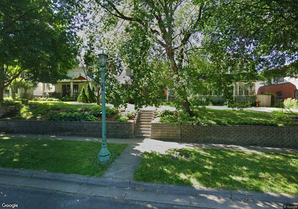
1688 1688 Ashland Ave St. Paul, MN 55104
Union Park NeighborhoodEstimated Value: $560,000 - $776,000
3
Beds
3
Baths
1,567
Sq Ft
$412/Sq Ft
Est. Value
About This Home
This home is located at 1688 1688 Ashland Ave, St. Paul, MN 55104 and is currently estimated at $645,662, approximately $412 per square foot. 1688 1688 Ashland Ave is a home located in Ramsey County with nearby schools including Groveland Park Elementary School, Hidden River Middle School, and Central Senior High School.
Ownership History
Date
Name
Owned For
Owner Type
Purchase Details
Closed on
Jul 16, 2003
Sold by
Turner Robert A and Turner Anne E
Bought by
Marston Michael D and Marston Andrea J
Current Estimated Value
Purchase Details
Closed on
Jul 7, 1997
Sold by
Brooks Jennifer J S
Bought by
Turner Robert A and Turner Anne E
Create a Home Valuation Report for This Property
The Home Valuation Report is an in-depth analysis detailing your home's value as well as a comparison with similar homes in the area
Home Values in the Area
Average Home Value in this Area
Purchase History
| Date | Buyer | Sale Price | Title Company |
|---|---|---|---|
| Marston Michael D | $250,000 | -- | |
| Turner Robert A | $118,250 | -- |
Source: Public Records
Tax History Compared to Growth
Tax History
| Year | Tax Paid | Tax Assessment Tax Assessment Total Assessment is a certain percentage of the fair market value that is determined by local assessors to be the total taxable value of land and additions on the property. | Land | Improvement |
|---|---|---|---|---|
| 2025 | $8,774 | $628,900 | $96,000 | $532,900 |
| 2023 | $8,774 | $558,600 | $96,000 | $462,600 |
| 2022 | $7,930 | $573,300 | $96,000 | $477,300 |
| 2021 | $7,250 | $488,100 | $96,000 | $392,100 |
| 2020 | $7,518 | $465,300 | $96,000 | $369,300 |
| 2019 | $7,314 | $448,000 | $96,000 | $352,000 |
| 2018 | $7,108 | $430,200 | $96,000 | $334,200 |
| 2017 | $6,126 | $430,200 | $96,000 | $334,200 |
| 2016 | $6,100 | $0 | $0 | $0 |
| 2015 | $6,146 | $367,400 | $96,000 | $271,400 |
| 2014 | $5,712 | $0 | $0 | $0 |
Source: Public Records
Map
Nearby Homes
- 1670 Ashland Ave
- 1540 Ashland Ave Unit 12
- 1821 Selby Ave
- 1671 Marshall Ave
- 1798 Marshall Ave
- 1510 Laurel Ave
- 266 Fry St
- 1836 Marshall Ave
- 184 Saratoga St N
- 1796 Iglehart Ave
- 142 Cambridge St
- 1920 Laurel Ave
- 1917 Summit Ave Unit 2
- 750 Summit Ave
- 1611 Carroll Ave
- 1826 Goodrich Ave
- 1787 Carroll Ave
- 1447 Hague Ave
- 1926 Lincoln Ave
- 382 Fry St
- 1688 Ashland Ave
- 1684 Ashland Ave
- 1692 Ashland Ave
- 1680 Ashland Ave
- 1676 Ashland Ave
- 1704 Ashland Ave
- 1689 Portland Ave
- 1689 1689 Portland Ave
- 1693 Portland Ave
- 1681 Portland Ave
- 1699 Portland Ave
- 1677 Portland Ave
- 1710 Ashland Ave
- 1689 Ashland Ave
- 1685 Ashland Ave
- 1693 Ashland Ave
- 1681 Ashland Ave
- 1699 Ashland Ave
- 1671 Portland Ave
- 1705 Portland Ave