169 Kelley Rd Langdon, NH 03602
Estimated Value: $1,029,000 - $1,932,000
6
Beds
6
Baths
6,656
Sq Ft
$218/Sq Ft
Est. Value
About This Home
This home is located at 169 Kelley Rd, Langdon, NH 03602 and is currently estimated at $1,454,286, approximately $218 per square foot. 169 Kelley Rd is a home located in Sullivan County with nearby schools including Sarah Porter School, Vilas Elementary School, and Fall Mountain Regional High School.
Ownership History
Date
Name
Owned For
Owner Type
Purchase Details
Closed on
Jun 19, 2007
Sold by
Holbook Wendell W and Holbook Linda W
Bought by
Fowler Lucius L and Fowler Rhonda N
Current Estimated Value
Home Financials for this Owner
Home Financials are based on the most recent Mortgage that was taken out on this home.
Original Mortgage
$400,000
Outstanding Balance
$244,758
Interest Rate
6.19%
Mortgage Type
Purchase Money Mortgage
Estimated Equity
$1,209,528
Create a Home Valuation Report for This Property
The Home Valuation Report is an in-depth analysis detailing your home's value as well as a comparison with similar homes in the area
Home Values in the Area
Average Home Value in this Area
Purchase History
| Date | Buyer | Sale Price | Title Company |
|---|---|---|---|
| Fowler Lucius L | $1,100,000 | -- |
Source: Public Records
Mortgage History
| Date | Status | Borrower | Loan Amount |
|---|---|---|---|
| Open | Fowler Lucius L | $400,000 | |
| Closed | Fowler Lucius L | $400,000 | |
| Previous Owner | Fowler Lucius L | $55,000 |
Source: Public Records
Tax History Compared to Growth
Tax History
| Year | Tax Paid | Tax Assessment Tax Assessment Total Assessment is a certain percentage of the fair market value that is determined by local assessors to be the total taxable value of land and additions on the property. | Land | Improvement |
|---|---|---|---|---|
| 2024 | $23,408 | $832,419 | $91,519 | $740,900 |
| 2023 | $18,472 | $835,467 | $94,567 | $740,900 |
| 2022 | $18,740 | $835,865 | $94,965 | $740,900 |
| 2021 | $18,298 | $835,899 | $94,999 | $740,900 |
| 2020 | $18,334 | $680,544 | $65,904 | $614,640 |
| 2019 | $18,933 | $681,038 | $66,398 | $614,640 |
| 2018 | $19,324 | $680,663 | $66,023 | $614,640 |
| 2017 | $21,203 | $680,898 | $66,258 | $614,640 |
| 2016 | $16,914 | $652,779 | $65,839 | $586,940 |
| 2015 | $19,127 | $718,772 | $79,772 | $639,000 |
| 2014 | $16,589 | $660,385 | $81,985 | $578,400 |
| 2013 | $16,576 | $660,385 | $81,985 | $578,400 |
Source: Public Records
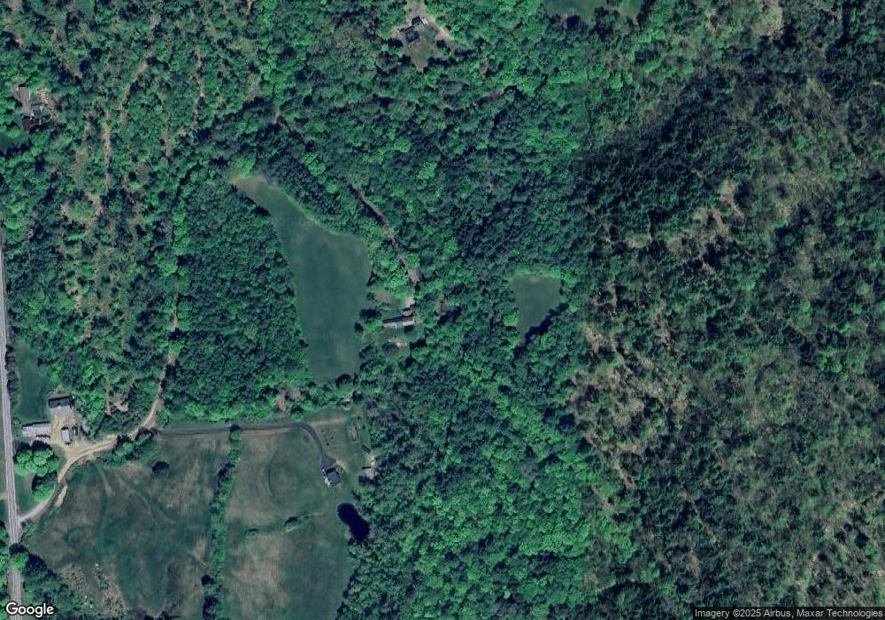
Map
Nearby Homes
- 16 Vilas Rd
- 100 River St
- 563 Holden Hill Rd
- 55 Sunset Cir
- 458 Cheshire Turnpike
- 1076 Nh Route 123a
- 178 North Rd
- 473 Pratt Rd
- 00 Cold River Rd Unit 3014.0
- 00 Alstead Center Rd
- 27 Shadowland Rd
- 32 Blueberry Hill Ln
- 94 Cold Pond Rd
- 493 Charlestown Rd
- 0 Langdon Rd Unit 22 5042572
- 281 Connecticut Heights Rd
- 31 Mountain View Rd
- 20 Green Rd
- 29 Green Rd
- 0 Acworth Rd Unit 87 5034745
- 123 Kelley Rd
- 96 Kelley Rd
- 109 Griffin Hill Rd
- 64 Crane Brook Rd
- 354 Nh Route 123a
- 334 Nh Route 123a
- 334 Nh Route 123a
- 22 Kelley Rd
- 98 Griffin Hill Rd
- 0 Crane Brook Rd
- 21 Mason Rd
- 372 Nh Route 123a
- 75 Nh Route 123a
- 93 Griffin Hill Rd
- 82 Griffin Hill Rd
- 45 Crane Brook Rd
- 72 Griffin Hill Rd
- 66 Nh Route 123a
- 63 Mason Rd
- 138 Crane Brook Rd