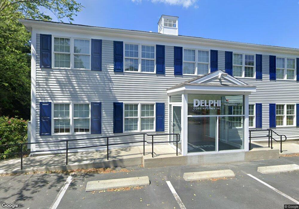
17 Cape Dr Unit 2 Mashpee, MA 2649
Studio
--
Bath
5,100
Sq Ft
28,096
Sq Ft Lot
About This Home
This home is located at 17 Cape Dr Unit 2, Mashpee, MA 2649. 17 Cape Dr Unit 2 is a home located in Barnstable County with nearby schools including Kenneth C. Coombs School, Quashnet School, and Mashpee Middle School.
Ownership History
Date
Name
Owned For
Owner Type
Purchase Details
Closed on
Jan 11, 2013
Sold by
17 Cape Drive Rt
Bought by
Seventeen Cape Dr Llc
Purchase Details
Closed on
Nov 1, 2006
Sold by
Cape Cod Appliance Inc
Bought by
17 Cape Drive Rt
Purchase Details
Closed on
Aug 9, 2004
Sold by
Mcdonnell Enterprises
Bought by
Cape Cod Appliance Inc
Purchase Details
Closed on
Apr 13, 1993
Sold by
Cape Cod B & T Co
Bought by
Mcdonnell Gregory T
Create a Home Valuation Report for This Property
The Home Valuation Report is an in-depth analysis detailing your home's value as well as a comparison with similar homes in the area
Purchase History
| Date | Buyer | Sale Price | Title Company |
|---|---|---|---|
| Seventeen Cape Dr Llc | $408,500 | -- | |
| 17 Cape Drive Rt | -- | -- | |
| Cape Cod Appliance Inc | $245,000 | -- | |
| Mcdonnell Gregory T | $30,000 | -- |
Source: Public Records
Mortgage History
| Date | Status | Borrower | Loan Amount |
|---|---|---|---|
| Previous Owner | 17 Cape Drive Rt | $500,000 |
Source: Public Records
Tax History
| Year | Tax Paid | Tax Assessment Tax Assessment Total Assessment is a certain percentage of the fair market value that is determined by local assessors to be the total taxable value of land and additions on the property. | Land | Improvement |
|---|---|---|---|---|
| 2025 | $5,296 | $836,600 | $350,300 | $486,300 |
| 2024 | $5,178 | $814,100 | $336,900 | $477,200 |
| 2023 | $5,444 | $784,500 | $320,800 | $463,700 |
| 2022 | $5,583 | $683,400 | $276,100 | $407,300 |
| 2021 | $5,894 | $649,800 | $260,400 | $389,400 |
| 2020 | $5,765 | $634,200 | $252,900 | $381,300 |
| 2019 | $5,114 | $565,100 | $245,500 | $319,600 |
| 2018 | $4,211 | $472,100 | $238,600 | $233,500 |
| 2017 | $3,871 | $421,200 | $233,600 | $187,600 |
| 2016 | $3,831 | $414,600 | $233,600 | $181,000 |
| 2015 | $3,719 | $408,200 | $229,000 | $179,200 |
| 2014 | $4,130 | $439,800 | $221,800 | $218,000 |
Source: Public Records
Map
Nearby Homes
- 70 Cape Dr Unit 14D
- 70 Cape Dr Unit 15D
- 70 Cape Dr Unit 11D
- 70 Cape Dr Unit 15D
- 70 Cape Dr Unit 11D
- 226 Dunrobin Rd
- 16 Spring Brook Ln
- 4 Bishops Park
- 70 Simons Rd Unit E
- 70 Simons Rd
- 22 Stratford Ridge Unit 22
- 195 Falmouth Rd Unit 19F
- 195 Falmouth Rd Unit 9F
- 195 Falmouth Rd Unit 9F
- 195 Falmouth Rd Unit 9D
- 195 Falmouth Rd Unit 19F
- 10 Abbey Gate Rd
- 7 Oxford Dr
- 75 Bob White Run
- 35 Claulise Ln
Your Personal Tour Guide
Ask me questions while you tour the home.