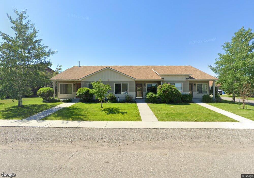
170 Talon Way Bozeman, MT 59718
King Arthur Park NeighborhoodEstimated Value: $404,113 - $425,000
2
Beds
2
Baths
1,104
Sq Ft
$373/Sq Ft
Est. Value
About This Home
This home is located at 170 Talon Way, Bozeman, MT 59718 and is currently estimated at $411,278, approximately $372 per square foot. 170 Talon Way is a home located in Gallatin County with nearby schools including Meadowlark Elementary School, Sacajawea Middle School, and Gallatin High School.
Ownership History
Date
Name
Owned For
Owner Type
Purchase Details
Closed on
Mar 16, 2018
Sold by
Kori L Kocon
Bought by
Braun Margaret
Current Estimated Value
Home Financials for this Owner
Home Financials are based on the most recent Mortgage that was taken out on this home.
Original Mortgage
$230,000
Outstanding Balance
$197,371
Interest Rate
4.44%
Estimated Equity
$213,907
Purchase Details
Closed on
Nov 17, 2016
Sold by
Shyne Patrick G and Shyne Krystal L
Bought by
Kocon Kori L and Shipstead Zachary M
Home Financials for this Owner
Home Financials are based on the most recent Mortgage that was taken out on this home.
Original Mortgage
$189,050
Interest Rate
3.42%
Mortgage Type
New Conventional
Purchase Details
Closed on
Feb 17, 2012
Sold by
Anderson Wj
Bought by
Shyne Patrick G and Shyne Krystal L
Home Financials for this Owner
Home Financials are based on the most recent Mortgage that was taken out on this home.
Original Mortgage
$125,000
Interest Rate
3.86%
Mortgage Type
New Conventional
Create a Home Valuation Report for This Property
The Home Valuation Report is an in-depth analysis detailing your home's value as well as a comparison with similar homes in the area
Home Values in the Area
Average Home Value in this Area
Purchase History
| Date | Buyer | Sale Price | Title Company |
|---|---|---|---|
| Braun Margaret | -- | -- | |
| Kocon Kori L | -- | Montana Title & Escrow | |
| Shyne Patrick G | -- | First American Title Company |
Source: Public Records
Mortgage History
| Date | Status | Borrower | Loan Amount |
|---|---|---|---|
| Open | Braun Margaret | $230,000 | |
| Closed | Braun Margaret | -- | |
| Previous Owner | Kocon Kori L | $189,050 | |
| Previous Owner | Shyne Patrick G | $125,000 |
Source: Public Records
Tax History Compared to Growth
Tax History
| Year | Tax Paid | Tax Assessment Tax Assessment Total Assessment is a certain percentage of the fair market value that is determined by local assessors to be the total taxable value of land and additions on the property. | Land | Improvement |
|---|---|---|---|---|
| 2025 | $1,211 | $396,700 | $0 | $0 |
| 2024 | $2,091 | $397,800 | $0 | $0 |
| 2023 | $2,015 | $415,000 | $0 | $0 |
| 2022 | $1,806 | $276,000 | $0 | $0 |
| 2021 | $2,013 | $276,000 | $0 | $0 |
| 2020 | $1,624 | $219,800 | $0 | $0 |
| 2019 | $2,365 | $219,800 | $0 | $0 |
| 2018 | $1,370 | $172,100 | $0 | $0 |
| 2017 | $1,342 | $172,100 | $0 | $0 |
| 2016 | $1,081 | $136,100 | $0 | $0 |
| 2015 | $1,198 | $136,100 | $0 | $0 |
| 2014 | $1,294 | $87,291 | $0 | $0 |
Source: Public Records
Map
Nearby Homes
- 146 Talon Way Unit A
- 14 Bow Perch Ln Unit C
- TBD Cloudfield (Lots 42a 42b) Cir
- TBD Cloudfield (Lots 41a 41b 41c) Cir
- TBD Cloudfield (Lot 12) Cir
- 219 Delano Dr
- TBD Delano Dr
- 399 Cloudfield Cir
- 405 Cloudfield Cir
- 303 Cloudfield Cir
- TBD Cloudfield (Lot 5) Cir
- 174 Gareth Way
- 157 Delano Dr
- 200 Delano Dr
- 16 Cowen Ln
- 138 Delano Dr
- 378 Ramshorn Peak Ln
- 14 Delano Dr
- 597 Rowland Rd
- 66 Aspenwood Dr
- 170a Talon Way
- 170 Talon Way
- 170 Talon Way
- 170 Talon Way Unit C
- 170 Talon Way Unit C
- 170 Talon Way Unit B
- 146 Talon Way B
- 146 Talon Way
- 146 Talon Way Unit B
- 192 Talon Way
- 192 Talon Way
- 192 Talon Way
- 192 Talon Way Unit C
- 192 B Talon Way
- 192 Talon Dr Unit C
- 122 Talon Way Unit B
- 97 Bow Perch Ln
- 97 Bow Perch Ln
- 97 Bow Perch Ln
- 97 Bow Perch Ln Unit 2