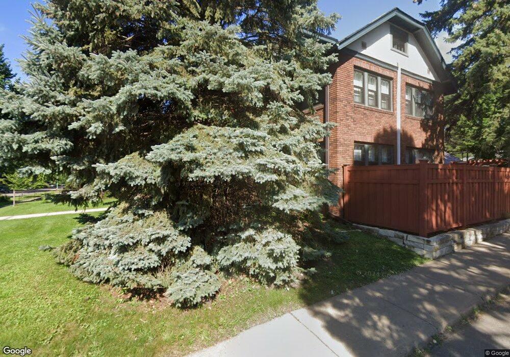
1705 Portland Ave Saint Paul, MN 55104
Union Park NeighborhoodEstimated Value: $915,000 - $1,191,000
6
Beds
4
Baths
6,049
Sq Ft
$182/Sq Ft
Est. Value
About This Home
This home is located at 1705 Portland Ave, Saint Paul, MN 55104 and is currently estimated at $1,098,689, approximately $181 per square foot. 1705 Portland Ave is a home located in Ramsey County with nearby schools including Groveland Park Elementary School, Hidden River Middle School, and Central Senior High School.
Ownership History
Date
Name
Owned For
Owner Type
Purchase Details
Closed on
Dec 14, 2020
Sold by
Chaffee Orlson Y and Chaffee Cassandra P
Bought by
Leder Patrick Aaron and Leder Brandi
Current Estimated Value
Home Financials for this Owner
Home Financials are based on the most recent Mortgage that was taken out on this home.
Original Mortgage
$510,400
Outstanding Balance
$454,408
Interest Rate
2.7%
Mortgage Type
New Conventional
Estimated Equity
$644,281
Purchase Details
Closed on
Apr 30, 2003
Sold by
Kauth Kenneth C and Kauth Elizabeth K
Bought by
Lair Tamra J and Edgren Bruce E
Create a Home Valuation Report for This Property
The Home Valuation Report is an in-depth analysis detailing your home's value as well as a comparison with similar homes in the area
Home Values in the Area
Average Home Value in this Area
Purchase History
| Date | Buyer | Sale Price | Title Company |
|---|---|---|---|
| Leder Patrick Aaron | $975,000 | Results Title | |
| Lair Tamra J | $725,000 | -- | |
| Leder Patrick Patrick | $975,000 | -- |
Source: Public Records
Mortgage History
| Date | Status | Borrower | Loan Amount |
|---|---|---|---|
| Open | Leder Patrick Aaron | $510,400 | |
| Closed | Leder Patrick Patrick | $510,400 |
Source: Public Records
Tax History Compared to Growth
Tax History
| Year | Tax Paid | Tax Assessment Tax Assessment Total Assessment is a certain percentage of the fair market value that is determined by local assessors to be the total taxable value of land and additions on the property. | Land | Improvement |
|---|---|---|---|---|
| 2025 | $16,066 | $1,006,600 | $184,300 | $822,300 |
| 2023 | $16,066 | $954,600 | $184,300 | $770,300 |
| 2022 | $16,066 | $929,400 | $184,300 | $745,100 |
| 2021 | $14,546 | $909,900 | $184,300 | $725,600 |
| 2020 | $14,854 | $847,600 | $184,300 | $663,300 |
| 2019 | $14,632 | $818,800 | $184,300 | $634,500 |
| 2018 | $13,786 | $799,900 | $184,300 | $615,600 |
| 2017 | $12,930 | $775,900 | $184,300 | $591,600 |
| 2016 | $13,476 | $0 | $0 | $0 |
| 2015 | $13,158 | $736,000 | $184,300 | $551,700 |
| 2014 | $14,372 | $0 | $0 | $0 |
Source: Public Records
Map
Nearby Homes
- 1670 Ashland Ave
- 1540 Ashland Ave Unit 12
- 1821 Selby Ave
- 142 Cambridge St
- 1510 Laurel Ave
- 1671 Marshall Ave
- 1798 Marshall Ave
- 1826 Goodrich Ave
- 266 Fry St
- 1917 Summit Ave Unit 2
- 1836 Marshall Ave
- 184 Saratoga St N
- 750 Summit Ave
- 1920 Laurel Ave
- 1796 Iglehart Ave
- 1926 Lincoln Ave
- 1447 Hague Ave
- 1611 Carroll Ave
- 1787 Carroll Ave
- 2009 Grand Ave
- 1709 Portland Ave
- 1699 Portland Ave
- 1715 Portland Ave
- 1693 Portland Ave
- 1721 Portland Ave
- 1704 Ashland Ave
- 1710 Ashland Ave
- 1712 Ashland Ave
- 1689 Portland Ave
- 1689 1689 Portland Ave
- 1725 Portland Ave
- 1714 Ashland Ave
- 1692 Ashland Ave
- 1700 Portland Ave
- 1708 Portland Ave
- 1681 Portland Ave
- 1720 Ashland Ave Unit 10
- 1710 Portland Ave
- 1696 Portland Ave
- 1688 Ashland Ave