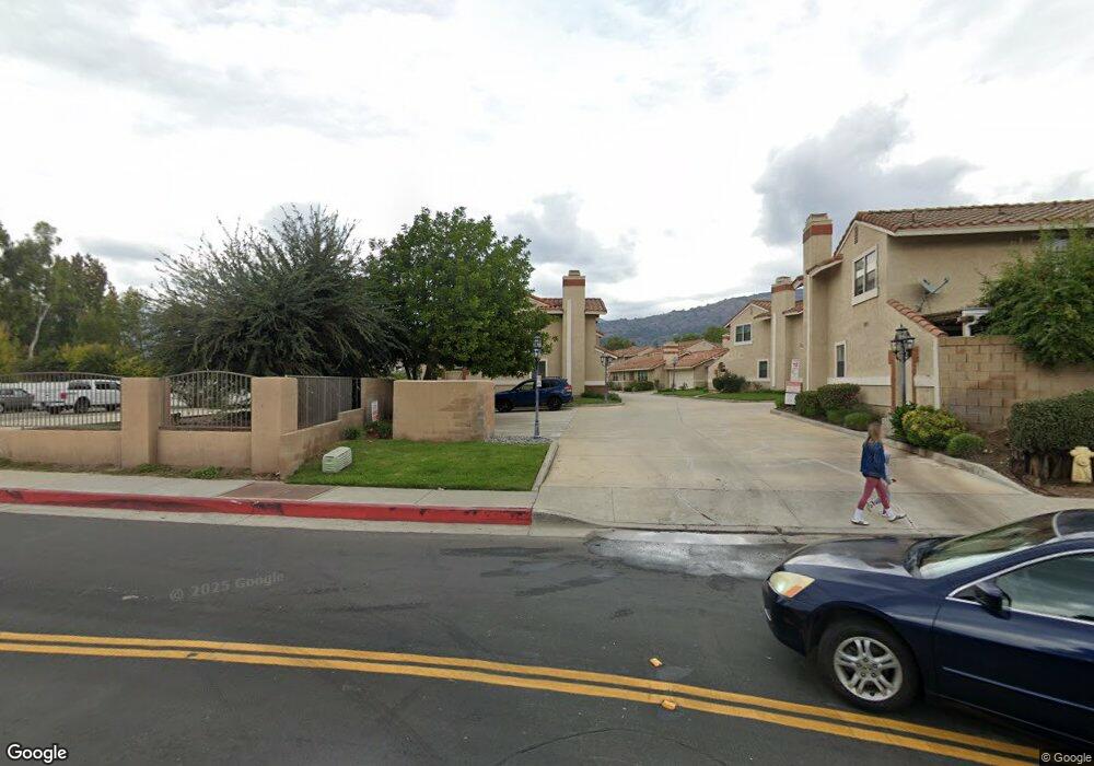
1713 Compromise Line Rd Unit 19 Glendora, CA 91741
South Glendora NeighborhoodEstimated Value: $626,586 - $689,000
3
Beds
3
Baths
1,426
Sq Ft
$454/Sq Ft
Est. Value
About This Home
This home is located at 1713 Compromise Line Rd Unit 19, Glendora, CA 91741 and is currently estimated at $647,897, approximately $454 per square foot. 1713 Compromise Line Rd Unit 19 is a home located in Los Angeles County with nearby schools including Sutherland Elementary School, Goddard Middle School, and Glendora High School.
Ownership History
Date
Name
Owned For
Owner Type
Purchase Details
Closed on
Jun 8, 2017
Sold by
Mamar Fadi
Bought by
Mamar Fadi Nabih and Elias Badia Aziz
Current Estimated Value
Purchase Details
Closed on
Jul 11, 2002
Sold by
Chbeir Makram R
Bought by
Mamar Fadi and Elias Badia
Home Financials for this Owner
Home Financials are based on the most recent Mortgage that was taken out on this home.
Original Mortgage
$178,400
Outstanding Balance
$74,607
Interest Rate
6.52%
Estimated Equity
$573,290
Purchase Details
Closed on
Aug 11, 1998
Sold by
Arles Ronald P
Bought by
Chbeir Makram R and Chebeir Claire M
Home Financials for this Owner
Home Financials are based on the most recent Mortgage that was taken out on this home.
Original Mortgage
$124,000
Interest Rate
6.88%
Create a Home Valuation Report for This Property
The Home Valuation Report is an in-depth analysis detailing your home's value as well as a comparison with similar homes in the area
Home Values in the Area
Average Home Value in this Area
Purchase History
| Date | Buyer | Sale Price | Title Company |
|---|---|---|---|
| Mamar Fadi Nabih | -- | None Available | |
| Mamar Fadi | $223,000 | Fidelity Title | |
| Chbeir Makram R | $155,000 | Southland Title Corporation |
Source: Public Records
Mortgage History
| Date | Status | Borrower | Loan Amount |
|---|---|---|---|
| Open | Mamar Fadi | $178,400 | |
| Previous Owner | Chbeir Makram R | $124,000 | |
| Closed | Mamar Fadi | $33,400 |
Source: Public Records
Tax History Compared to Growth
Tax History
| Year | Tax Paid | Tax Assessment Tax Assessment Total Assessment is a certain percentage of the fair market value that is determined by local assessors to be the total taxable value of land and additions on the property. | Land | Improvement |
|---|---|---|---|---|
| 2025 | $4,084 | $322,957 | $160,466 | $162,491 |
| 2024 | $4,084 | $316,625 | $157,320 | $159,305 |
| 2023 | $3,992 | $310,418 | $154,236 | $156,182 |
| 2022 | $3,915 | $304,332 | $151,212 | $153,120 |
| 2021 | $3,841 | $298,366 | $148,248 | $150,118 |
| 2019 | $3,633 | $289,517 | $143,851 | $145,666 |
| 2018 | $3,547 | $283,841 | $141,031 | $142,810 |
| 2016 | $3,371 | $272,820 | $135,555 | $137,265 |
| 2015 | $3,299 | $268,723 | $133,519 | $135,204 |
| 2014 | $3,293 | $263,460 | $130,904 | $132,556 |
Source: Public Records
Map
Nearby Homes
- 2010 E Route 66
- 2022 E Route 66
- 1258 Cossacks Place E
- 705 Beaverbrook Ln
- 132 Oak Forest Cir
- 830 Tressy Ave
- 704 Danecroft Ave
- 714 Danecroft Ave
- 904 Cordelia Ave
- 2225 Saratoga Ln
- 105 Country Club Ct
- 2027 Cobblefield Way
- 209 S Worthy Dr
- 1449 E Bennett Ave
- 2271 Redwood Dr
- 1060 E Route 66
- 911 Groveton Ave
- 137 N Burnaby Dr
- 2200 Shenandoah Ln
- 2401 E Greenview Dr Unit 49
- 1717 Compromise Line Rd Unit 17
- 1717 Compromise Line Rd
- 1719 Compromise Line Rd
- 1721 Compromise Line Rd
- 1725 Compromise Line Rd
- 1723 Compromise Line Rd Unit 14
- 1715 Compromise Line Rd
- 1711 Compromise Line Rd
- 1745 Compromise Line Rd
- 1737 Compromise Line Rd Unit 7
- 1729 Compromise Line Rd
- 1731 Compromise Line Rd
- 1735 Compromise Line Rd
- 1741 Compromise Line Rd
- 1733 Compromise Line Rd Unit 9
- 1747 Compromise Line Rd
- 1739 Compromise Line Rd
- 1739 Compromise Line Rd Unit 6
- 1747 Compromise Line Rd Unit 2
- 1733 Compromise Line Rd