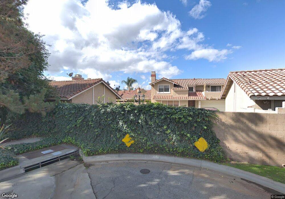
1717 Compromise Line Rd Glendora, CA 91741
South Glendora NeighborhoodEstimated Value: $639,000 - $662,000
3
Beds
3
Baths
1,426
Sq Ft
$454/Sq Ft
Est. Value
About This Home
This home is located at 1717 Compromise Line Rd, Glendora, CA 91741 and is currently estimated at $648,096, approximately $454 per square foot. 1717 Compromise Line Rd is a home located in Los Angeles County with nearby schools including Sutherland Elementary School, Goddard Middle School, and Glendora High School.
Ownership History
Date
Name
Owned For
Owner Type
Purchase Details
Closed on
Jun 14, 2019
Sold by
Dore Navin and Dore Karen
Bought by
Ding Edwin and Sun Shuyi
Current Estimated Value
Home Financials for this Owner
Home Financials are based on the most recent Mortgage that was taken out on this home.
Original Mortgage
$350,000
Outstanding Balance
$305,973
Interest Rate
3.82%
Mortgage Type
New Conventional
Estimated Equity
$342,124
Purchase Details
Closed on
Aug 30, 2017
Sold by
Avila Manuel
Bought by
Dore Navin and Dore Karen
Home Financials for this Owner
Home Financials are based on the most recent Mortgage that was taken out on this home.
Original Mortgage
$240,500
Interest Rate
3.86%
Mortgage Type
New Conventional
Purchase Details
Closed on
Oct 22, 2015
Sold by
Cronin Nancy A
Bought by
Avila Manuel
Home Financials for this Owner
Home Financials are based on the most recent Mortgage that was taken out on this home.
Original Mortgage
$300,000
Interest Rate
3.81%
Mortgage Type
New Conventional
Purchase Details
Closed on
Oct 16, 2009
Sold by
Elofson Matthew D
Bought by
Cronin Nancy A
Home Financials for this Owner
Home Financials are based on the most recent Mortgage that was taken out on this home.
Original Mortgage
$270,000
Interest Rate
4.88%
Mortgage Type
New Conventional
Purchase Details
Closed on
Nov 6, 2002
Sold by
Song Kyun An
Bought by
Elofson Matthew D and Elofson Lisa N
Home Financials for this Owner
Home Financials are based on the most recent Mortgage that was taken out on this home.
Original Mortgage
$196,800
Interest Rate
5.37%
Purchase Details
Closed on
May 1, 2001
Sold by
Kim Doo Bin
Bought by
Kim Daniel
Home Financials for this Owner
Home Financials are based on the most recent Mortgage that was taken out on this home.
Original Mortgage
$127,500
Interest Rate
6.92%
Purchase Details
Closed on
May 14, 1998
Sold by
Song Choong H
Bought by
Kim Doo Bin and Kim Hoa Hyun
Purchase Details
Closed on
Feb 15, 1994
Sold by
Falcon Leopoldo
Bought by
Song Choong Hyun and Song Jin Hee
Home Financials for this Owner
Home Financials are based on the most recent Mortgage that was taken out on this home.
Original Mortgage
$132,000
Interest Rate
7.67%
Create a Home Valuation Report for This Property
The Home Valuation Report is an in-depth analysis detailing your home's value as well as a comparison with similar homes in the area
Home Values in the Area
Average Home Value in this Area
Purchase History
| Date | Buyer | Sale Price | Title Company |
|---|---|---|---|
| Ding Edwin | $475,000 | Lawyers Title | |
| Dore Navin | $455,000 | First American Title Company | |
| Avila Manuel | $400,000 | North American Title Company | |
| Cronin Nancy A | $360,000 | Lawyers Title | |
| Elofson Matthew D | $246,000 | First American | |
| Kim Daniel | $170,000 | Chicago Title | |
| Kim Doo Bin | -- | North American Title Co | |
| Song Choong Hyun | $165,000 | Southland Title |
Source: Public Records
Mortgage History
| Date | Status | Borrower | Loan Amount |
|---|---|---|---|
| Open | Ding Edwin | $350,000 | |
| Previous Owner | Dore Navin | $240,500 | |
| Previous Owner | Avila Manuel | $300,000 | |
| Previous Owner | Cronin Nancy A | $270,000 | |
| Previous Owner | Elofson Matthew D | $196,800 | |
| Previous Owner | Kim Daniel | $127,500 | |
| Previous Owner | Song Choong Hyun | $132,000 | |
| Closed | Elofson Matthew D | $36,900 |
Source: Public Records
Tax History
| Year | Tax Paid | Tax Assessment Tax Assessment Total Assessment is a certain percentage of the fair market value that is determined by local assessors to be the total taxable value of land and additions on the property. | Land | Improvement |
|---|---|---|---|---|
| 2025 | $6,164 | $519,476 | $321,637 | $197,839 |
| 2024 | $6,164 | $509,291 | $315,331 | $193,960 |
| 2023 | $6,021 | $499,306 | $309,149 | $190,157 |
| 2022 | $5,905 | $489,517 | $303,088 | $186,429 |
| 2021 | $5,799 | $479,920 | $297,146 | $182,774 |
| 2019 | $109 | $464,100 | $279,582 | $184,518 |
| 2018 | $5,344 | $455,000 | $274,100 | $180,900 |
| 2016 | $4,704 | $400,000 | $220,600 | $179,400 |
| 2015 | $4,503 | $386,646 | $193,323 | $193,323 |
| 2014 | $4,489 | $379,074 | $189,537 | $189,537 |
Source: Public Records
Map
Nearby Homes
- 451 Sellers St Unit 29
- 2010 E Route 66
- 138 S Hacienda Ave
- 2022 E Route 66
- 112 S Hacienda Ave
- 705 Beaverbrook Ln
- 1258 Cossacks Place
- 1951 Cobblefield Way Unit 4
- 831 Hunters Trail
- 2030 Cobblefield Way
- 2208 E Linfield St
- 1126 E Ada Ave
- 1114 E Lemon Ave
- 1449 E Bennett Ave
- 1241 E Mountain View Ave
- 1060 E Route 66
- 2200 Shenandoah Ln
- 137 N Burnaby Ave
- 2411 E Greenview Dr
- 1137 Willow Ave
- 1717 Compromise Line Rd Unit 17
- 1713 Compromise Line Rd Unit 19
- 1719 Compromise Line Rd
- 1721 Compromise Line Rd
- 1725 Compromise Line Rd
- 1723 Compromise Line Rd Unit 14
- 1715 Compromise Line Rd
- 1711 Compromise Line Rd
- 1745 Compromise Line Rd
- 1737 Compromise Line Rd Unit 7
- 1729 Compromise Line Rd
- 1731 Compromise Line Rd
- 1735 Compromise Line Rd
- 1741 Compromise Line Rd
- 1733 Compromise Line Rd Unit 9
- 1747 Compromise Line Rd
- 1739 Compromise Line Rd
- 1739 Compromise Line Rd Unit 6
- 1747 Compromise Line Rd Unit 2
- 1733 Compromise Line Rd
Your Personal Tour Guide
Ask me questions while you tour the home.