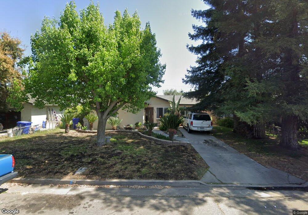
1736 High St Atwater, CA 95301
Estimated Value: $269,000 - $298,000
3
Beds
1
Bath
945
Sq Ft
$302/Sq Ft
Est. Value
About This Home
This home is located at 1736 High St, Atwater, CA 95301 and is currently estimated at $285,134, approximately $301 per square foot. 1736 High St is a home located in Merced County with nearby schools including Thomas Olaeta Elementary School, Mitchell Intermediate School, and Atwater High School.
Ownership History
Date
Name
Owned For
Owner Type
Purchase Details
Closed on
Oct 23, 2003
Sold by
Vargas Irasema
Bought by
Vargas Joel
Current Estimated Value
Home Financials for this Owner
Home Financials are based on the most recent Mortgage that was taken out on this home.
Original Mortgage
$81,576
Outstanding Balance
$37,466
Interest Rate
5.98%
Mortgage Type
Purchase Money Mortgage
Estimated Equity
$247,668
Purchase Details
Closed on
May 11, 1999
Sold by
Va
Bought by
Williams James H
Home Financials for this Owner
Home Financials are based on the most recent Mortgage that was taken out on this home.
Original Mortgage
$67,200
Interest Rate
7.01%
Mortgage Type
Balloon
Create a Home Valuation Report for This Property
The Home Valuation Report is an in-depth analysis detailing your home's value as well as a comparison with similar homes in the area
Home Values in the Area
Average Home Value in this Area
Purchase History
| Date | Buyer | Sale Price | Title Company |
|---|---|---|---|
| Vargas Joel | -- | Alliance Title Company | |
| Vargas Joel | $102,000 | Alliance Title Company | |
| Williams James H | -- | -- |
Source: Public Records
Mortgage History
| Date | Status | Borrower | Loan Amount |
|---|---|---|---|
| Open | Vargas Joel | $81,576 | |
| Previous Owner | Williams James H | $67,200 | |
| Closed | Vargas Joel | $20,394 |
Source: Public Records
Tax History Compared to Growth
Tax History
| Year | Tax Paid | Tax Assessment Tax Assessment Total Assessment is a certain percentage of the fair market value that is determined by local assessors to be the total taxable value of land and additions on the property. | Land | Improvement |
|---|---|---|---|---|
| 2025 | $1,613 | $151,257 | $71,079 | $80,178 |
| 2024 | $1,613 | $148,292 | $69,686 | $78,606 |
| 2023 | $1,571 | $145,385 | $68,320 | $77,065 |
| 2022 | $1,553 | $142,535 | $66,981 | $75,554 |
| 2021 | $1,556 | $139,741 | $65,668 | $74,073 |
| 2020 | $1,538 | $138,309 | $64,995 | $73,314 |
| 2019 | $1,473 | $135,598 | $63,721 | $71,877 |
| 2018 | $1,436 | $132,940 | $62,472 | $70,468 |
| 2017 | $1,418 | $130,335 | $61,248 | $69,087 |
| 2016 | $1,395 | $127,781 | $60,048 | $67,733 |
| 2015 | $1,294 | $118,000 | $40,000 | $78,000 |
| 2014 | $1,052 | $96,000 | $30,000 | $66,000 |
Source: Public Records
Map
Nearby Homes
- 630 Juniper Ave
- 1870 Eucalyptus St
- 223 Kadota Ave
- 1510 High St
- 639 Mulberry Ave
- 537 Drakeley Ave
- 400 Elm Ave
- 1943 Pollitt Ct
- 134 E Fir Ave
- 1832 Vann Terrace
- 190 Tammy Dr
- 1675 Almador Terrace
- 2198 5th St
- 1241 Broadway Ave
- 0 Alabama St Unit MC25081690
- 0 Alabama St Unit MC25081689
- 0 Alabama St Unit MC25081688
- 352 Terri Dr
- 562 Curtis Ct
- 1485 Mulberry Ave