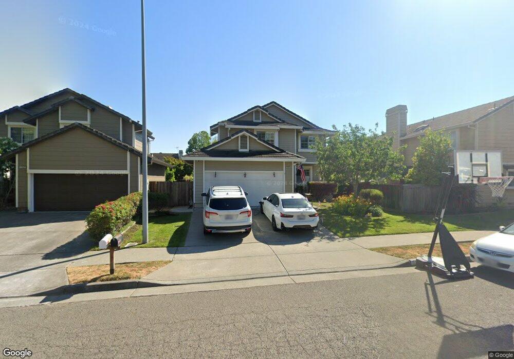
1767 Silverado Cir Petaluma, CA 94954
Adobe NeighborhoodEstimated Value: $916,000 - $995,000
About This Home
This home is located at 1767 Silverado Cir, Petaluma, CA 94954 and is currently estimated at $945,392, approximately $482 per square foot. 1767 Silverado Cir is a home located in Sonoma County with nearby schools including Kenilworth Junior High School, Casa Grande High School, and Miwok Valley Elementary Charter School.
Ownership History
We collect this data history from publicly available records. To have your information removed, we recommend requesting removal directly through your county’s website.
Purchase Details
Home Financials for this Owner
Home Financials are based on the most recent Mortgage that was taken out on this home.Purchase Details
Purchase Details
Purchase Details
Home Financials for this Owner
Home Financials are based on the most recent Mortgage that was taken out on this home.Purchase Details
Home Financials for this Owner
Home Financials are based on the most recent Mortgage that was taken out on this home.Purchase Details
Home Financials for this Owner
Home Financials are based on the most recent Mortgage that was taken out on this home.Purchase Details
Purchase Details
Home Values in the Area
Average Home Value in this Area
Purchase History
We collect this data history from publicly available records. To have your information removed, we recommend requesting removal directly through your county’s website.
| Date | Buyer | Sale Price | Title Company |
|---|---|---|---|
| $512,000 | Old Republic Title Company | ||
| $401,091 | None Available | ||
| -- | None Available | ||
| -- | Fidelity National Title Co | ||
| -- | New Century Title Co | ||
| $323,500 | New Century Title | ||
| $242,400 | Pacific Coast Title Company | ||
| -- | -- |
Mortgage History
We collect this data history from publicly available records. To have your information removed, we recommend requesting removal directly through your county’s website.
| Date | Status | Borrower | Loan Amount |
|---|---|---|---|
| Open | $460,800 | ||
| Previous Owner | $132,000 | ||
| Previous Owner | $322,700 | ||
| Previous Owner | $252,700 |
Tax History
We collect this data history from publicly available records. To have your information removed, we recommend requesting removal directly through your county’s website.
| Year | Tax Paid | Tax Assessment Tax Assessment Total Assessment is a certain percentage of the fair market value that is determined by local assessors to be the total taxable value of land and additions on the property. | Land | Improvement |
|---|---|---|---|---|
| 2025 | $7,441 | $630,482 | $246,282 | $384,200 |
| 2024 | $7,129 | $618,120 | $241,453 | $376,667 |
| 2023 | $7,129 | $606,001 | $236,719 | $369,282 |
| 2022 | $6,962 | $594,120 | $232,078 | $362,042 |
| 2021 | $6,880 | $582,472 | $227,528 | $354,944 |
| 2020 | $6,774 | $576,500 | $225,195 | $351,305 |
| 2019 | $6,689 | $565,197 | $220,780 | $344,417 |
| 2018 | $6,660 | $554,115 | $216,451 | $337,664 |
| 2017 | $6,526 | $543,251 | $212,207 | $331,044 |
| 2016 | $6,377 | $532,600 | $208,047 | $324,553 |
| 2015 | $6,291 | $524,600 | $204,922 | $319,678 |
| 2014 | $6,262 | $514,324 | $200,908 | $313,416 |
Map
- 16 Arrowhead Ct
- 1273 Del Rancho Way
- 15 Vintage Ct
- 1029 Ely Blvd S
- 1706 Gateside Dr
- 5 Starling Dr
- 980 Ely Blvd S
- 1168 Wieling Way
- 902 Marylyn Cir Unit 31
- 1724 Tampico Ct
- 2126 Saint Augustine Cir
- 1435 Ivy Ln
- 1059 Santa Clara Ln
- 916 Saint Francis Dr
- 1808 Weaverly Dr
- 1521 Sarkesian Dr
- 1645 Weaverly Dr
- 4091 Lakeville Hwy
- 1517 Weaverly Dr
- 536 Sutter St
- 1741 Silverado Cir
- 1763 Silverado Cir
- 1737 Silverado Cir
- 1733 Silverado Cir
- 1742 Silverado Cir
- 1738 Silverado Cir
- 1752 Spyglass Rd
- 1734 Silverado Cir
- 1762 Silverado Cir
- 1744 Spyglass Rd
- 1766 Silverado Cir
- 1758 Silverado Cir
- 1729 Silverado Cir
- 1748 Spyglass Rd
- 1754 Silverado Cir
- 1770 Silverado Cir
- 1740 Spyglass Rd
- 1730 Silverado Cir
- 1750 Silverado Cir
- 1736 Spyglass Rd
Ask me questions while you tour the home.