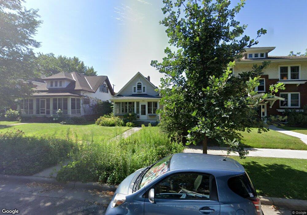
1794 Ashland Ave Saint Paul, MN 55104
Union Park NeighborhoodEstimated Value: $422,509 - $444,000
3
Beds
1
Bath
1,453
Sq Ft
$299/Sq Ft
Est. Value
About This Home
This home is located at 1794 Ashland Ave, Saint Paul, MN 55104 and is currently estimated at $434,627, approximately $299 per square foot. 1794 Ashland Ave is a home located in Ramsey County with nearby schools including Groveland Park Elementary School, Hidden River Middle School, and Central Senior High School.
Ownership History
Date
Name
Owned For
Owner Type
Purchase Details
Closed on
May 18, 2021
Sold by
Rivord Jeremy and Rivord Maureen Holly
Bought by
Hillard Olivia Anne
Current Estimated Value
Home Financials for this Owner
Home Financials are based on the most recent Mortgage that was taken out on this home.
Original Mortgage
$320,000
Outstanding Balance
$290,000
Interest Rate
3.1%
Mortgage Type
New Conventional
Estimated Equity
$144,627
Purchase Details
Closed on
Sep 27, 2013
Sold by
Wichlinski Lawrence J and Curran Jill M
Bought by
Rivord Jeremy and Rivord Maureen Holly
Home Financials for this Owner
Home Financials are based on the most recent Mortgage that was taken out on this home.
Original Mortgage
$207,100
Interest Rate
4.58%
Mortgage Type
New Conventional
Purchase Details
Closed on
Mar 19, 2001
Sold by
Weber John V and Weber Rochelle Rubin
Bought by
Curran Jill M
Create a Home Valuation Report for This Property
The Home Valuation Report is an in-depth analysis detailing your home's value as well as a comparison with similar homes in the area
Home Values in the Area
Average Home Value in this Area
Purchase History
| Date | Buyer | Sale Price | Title Company |
|---|---|---|---|
| Hillard Olivia Anne | $400,000 | Watermark Title Agency | |
| Rivord Jeremy | $224,606 | Dba Midland Title | |
| Curran Jill M | $170,900 | -- |
Source: Public Records
Mortgage History
| Date | Status | Borrower | Loan Amount |
|---|---|---|---|
| Open | Hillard Olivia Anne | $320,000 | |
| Previous Owner | Rivord Jeremy | $207,100 |
Source: Public Records
Tax History Compared to Growth
Tax History
| Year | Tax Paid | Tax Assessment Tax Assessment Total Assessment is a certain percentage of the fair market value that is determined by local assessors to be the total taxable value of land and additions on the property. | Land | Improvement |
|---|---|---|---|---|
| 2025 | $6,264 | $399,500 | $91,200 | $308,300 |
| 2023 | $6,264 | $398,400 | $91,200 | $307,200 |
| 2022 | $5,076 | $403,800 | $91,200 | $312,600 |
| 2021 | $4,718 | $319,700 | $91,200 | $228,500 |
| 2020 | $5,378 | $309,200 | $91,200 | $218,000 |
| 2019 | $4,856 | $317,600 | $91,200 | $226,400 |
| 2018 | $4,340 | $293,400 | $91,200 | $202,200 |
| 2017 | $4,036 | $267,000 | $91,200 | $175,800 |
| 2016 | $3,700 | $0 | $0 | $0 |
| 2015 | $3,458 | $236,200 | $91,200 | $145,000 |
| 2014 | $3,844 | $0 | $0 | $0 |
Source: Public Records
Map
Nearby Homes
- 1821 Selby Ave
- 1670 Ashland Ave
- 1920 Laurel Ave
- 1798 Marshall Ave
- 1917 Summit Ave Unit 2
- 1836 Marshall Ave
- 1796 Iglehart Ave
- 1671 Marshall Ave
- 1826 Goodrich Ave
- 1926 Lincoln Ave
- 266 Fry St
- 1787 Carroll Ave
- 1540 Ashland Ave Unit 12
- 142 Cambridge St
- 1935 Iglehart Ave
- 2034 Ashland Ave
- 2009 Grand Ave
- 2023 Selby Ave
- 1510 Laurel Ave
- 1611 Carroll Ave
- 1794 1794 Ashland Ave
- 1786 Ashland Ave
- 1804 Ashland Ave
- 1782 Ashland Ave
- 1810 Ashland Ave
- 1776 Ashland Ave
- 1776 1776 Ashland Ave
- 1795 Portland Ave
- 1799 Portland Ave
- 1791 Portland Ave
- 1805 Portland Ave
- 1805 1805 Portland Ave
- 1785 Portland Ave
- 1772 Ashland Ave
- 1816 Ashland Ave
- 1783 Portland Ave
- 1809 Portland Ave
- 1809 1809 Portland Ave
- 70 Fairview Ave N
- 1793 Ashland Ave