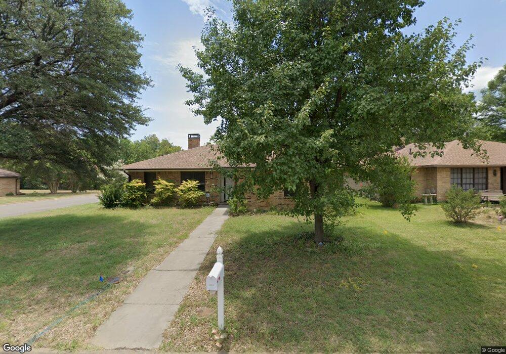
1801 Broadway St Denton, TX 76201
Rayzor Ranch NeighborhoodEstimated Value: $293,000 - $338,000
3
Beds
1
Bath
1,647
Sq Ft
$196/Sq Ft
Est. Value
About This Home
This home is located at 1801 Broadway St, Denton, TX 76201 and is currently estimated at $323,074, approximately $196 per square foot. 1801 Broadway St is a home located in Denton County with nearby schools including Newton Rayzor Elementary School, Calhoun Middle School, and Denton High School.
Ownership History
Date
Name
Owned For
Owner Type
Purchase Details
Closed on
Oct 27, 2016
Sold by
Clark Henry C
Bought by
Wong Hou Si
Current Estimated Value
Purchase Details
Closed on
Nov 4, 2004
Sold by
Cotton Linda
Bought by
Clark Henry C
Home Financials for this Owner
Home Financials are based on the most recent Mortgage that was taken out on this home.
Original Mortgage
$83,250
Interest Rate
5.87%
Mortgage Type
Purchase Money Mortgage
Create a Home Valuation Report for This Property
The Home Valuation Report is an in-depth analysis detailing your home's value as well as a comparison with similar homes in the area
Home Values in the Area
Average Home Value in this Area
Purchase History
| Date | Buyer | Sale Price | Title Company |
|---|---|---|---|
| Wong Hou Si | -- | None Available | |
| Clark Henry C | -- | Ctic |
Source: Public Records
Mortgage History
| Date | Status | Borrower | Loan Amount |
|---|---|---|---|
| Previous Owner | Clark Henry C | $83,250 |
Source: Public Records
Tax History
| Year | Tax Paid | Tax Assessment Tax Assessment Total Assessment is a certain percentage of the fair market value that is determined by local assessors to be the total taxable value of land and additions on the property. | Land | Improvement |
|---|---|---|---|---|
| 2025 | $3,626 | $274,802 | $126,940 | $170,060 |
| 2024 | $4,822 | $249,820 | $0 | $0 |
| 2023 | $3,140 | $227,109 | $126,940 | $160,212 |
| 2022 | $4,383 | $206,463 | $60,452 | $156,296 |
| 2021 | $4,173 | $187,694 | $42,999 | $144,695 |
| 2020 | $3,914 | $171,246 | $42,999 | $128,247 |
| 2019 | $3,886 | $162,877 | $42,999 | $128,992 |
| 2018 | $3,577 | $148,070 | $42,999 | $111,428 |
| 2017 | $3,327 | $134,609 | $31,275 | $103,334 |
| 2016 | $3,313 | $134,033 | $31,275 | $102,758 |
| 2015 | $2,623 | $127,008 | $31,275 | $101,262 |
| 2013 | -- | $104,965 | $31,415 | $73,550 |
Source: Public Records
Map
Nearby Homes
- 1713 Westchester St
- 321 Fry St
- 406 Fry St
- 1115 Egan St
- 1114 W Congress St
- 910 Stanley St Unit 3
- 910 Stanley St Unit 1
- 910 Stanley St Unit 2
- 2271 Scripture St
- 1011 Crescent St
- 1027 Stanley St
- 314 Fulton St
- 809 Crescent St
- 218 N Texas Blvd Unit 105
- 218 N Texas Blvd Unit 115
- 218 N Texas Blvd Unit 109
- 218 N Texas Blvd Unit 103
- 218 N Texas Blvd Unit 113
- 218 N Texas Blvd
- 1900 Malone St
- 1805 Broadway St
- 1717 Broadway St
- 1809 Broadway St
- 1800 Panhandle St
- 1804 Panhandle St
- 1813 Broadway St
- 1713 Broadway St
- 1724 Panhandle St
- 1808 Panhandle St
- 1800 Broadway St
- 1804 Broadway St
- 1720 Panhandle St
- 1808 Broadway St
- 1716 Broadway St
- 1812 Panhandle St
- 1817 Broadway St
- 1709 Broadway St
- 1812 Broadway St
- 1716 Panhandle St
- 1712 Broadway St
Your Personal Tour Guide
Ask me questions while you tour the home.