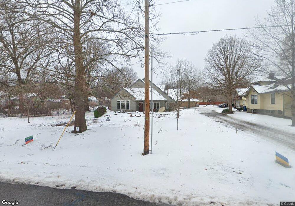
1817 Learnard Ave Lawrence, KS 66044
Barker NeighborhoodEstimated Value: $340,000 - $434,000
3
Beds
2
Baths
2,449
Sq Ft
$155/Sq Ft
Est. Value
About This Home
This home is located at 1817 Learnard Ave, Lawrence, KS 66044 and is currently estimated at $379,227, approximately $154 per square foot. 1817 Learnard Ave is a home located in Douglas County with nearby schools including Cordley Elementary School, Liberty Memorial Central Middle School, and Lawrence High School.
Ownership History
Date
Name
Owned For
Owner Type
Purchase Details
Closed on
Apr 12, 2007
Sold by
Red Fox Lc
Bought by
Watts Linda and Holcombe Thad
Current Estimated Value
Home Financials for this Owner
Home Financials are based on the most recent Mortgage that was taken out on this home.
Original Mortgage
$209,000
Outstanding Balance
$126,367
Interest Rate
6.15%
Mortgage Type
Construction
Estimated Equity
$252,860
Create a Home Valuation Report for This Property
The Home Valuation Report is an in-depth analysis detailing your home's value as well as a comparison with similar homes in the area
Home Values in the Area
Average Home Value in this Area
Purchase History
| Date | Buyer | Sale Price | Title Company |
|---|---|---|---|
| Watts Linda | -- | First American Title |
Source: Public Records
Mortgage History
| Date | Status | Borrower | Loan Amount |
|---|---|---|---|
| Open | Watts Linda | $209,000 |
Source: Public Records
Tax History Compared to Growth
Tax History
| Year | Tax Paid | Tax Assessment Tax Assessment Total Assessment is a certain percentage of the fair market value that is determined by local assessors to be the total taxable value of land and additions on the property. | Land | Improvement |
|---|---|---|---|---|
| 2025 | $5,218 | $42,470 | $9,200 | $33,270 |
| 2024 | $4,880 | $42,010 | $8,625 | $33,385 |
| 2023 | $4,880 | $37,950 | $6,900 | $31,050 |
| 2022 | $4,506 | $34,834 | $6,325 | $28,509 |
| 2021 | $4,060 | $30,405 | $5,175 | $25,230 |
| 2020 | $3,845 | $28,957 | $5,175 | $23,782 |
| 2019 | $3,747 | $28,255 | $4,947 | $23,308 |
| 2018 | $3,716 | $27,819 | $4,720 | $23,099 |
| 2017 | $3,488 | $25,842 | $4,720 | $21,122 |
| 2016 | $3,142 | $24,345 | $4,884 | $19,461 |
| 2015 | -- | $24,345 | $4,884 | $19,461 |
Source: Public Records
Map
Nearby Homes
- 331 E 19th St
- 5701 Johnson Ave
- 1625 Pennsylvania St
- 2028 New Hampshire St
- 1424 New York St
- 923 Ward Ave
- 2045 Massachusetts St
- 0 Delaware St
- 2046 Kentucky St
- 1103 E 18th St
- 1327 New Jersey St
- 2116 Kentucky St
- 1320 Pennsylvania St
- 1320 Pennsylvania St Unit apartment above gara
- 1736 Brook St
- 1829 Brook St
- 1616 Louisiana St
- 1240 Rhode Island St
- 1243 Delaware St Unit B
- 1220 New York St
- 1809 Learnard Ave
- 1801 Learnard Ave
- 336 Johnson Ave
- 332 Johnson Ave
- 330 Johnson Ave
- 322 Johnson Ave
- 1751 Learnard Ave
- 1820 Learnard Ave
- 320 Johnson Ave
- 1800 Learnard Ave
- 1743 Learnard Ave
- 318 Johnson Ave
- 1742 Learnard Ave
- 1834 Learnard Ave
- 406 Johnson Ave
- 1730 Learnard Ave
- 316 Johnson Ave
- 333 Johnson Ave
- 337 Johnson Ave
- 331 Johnson Ave