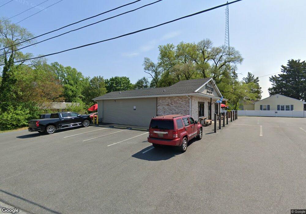
1819 S Dupont Hwy Dover, DE 19901
Kent Acres NeighborhoodEstimated Value: $537,196
--
Bed
--
Bath
1,970
Sq Ft
$273/Sq Ft
Est. Value
About This Home
This home is located at 1819 S Dupont Hwy, Dover, DE 19901 and is currently estimated at $537,196, approximately $272 per square foot. 1819 S Dupont Hwy is a home located in Kent County with nearby schools including W. Reily Brown Elementary School, Fred Fifer Middle School, and Caesar Rodney High School.
Ownership History
Date
Name
Owned For
Owner Type
Purchase Details
Closed on
Dec 23, 2016
Sold by
Ssi Properties Llc
Bought by
Jaams Llc
Current Estimated Value
Home Financials for this Owner
Home Financials are based on the most recent Mortgage that was taken out on this home.
Original Mortgage
$340,000
Outstanding Balance
$278,778
Interest Rate
4.03%
Mortgage Type
Commercial
Estimated Equity
$258,418
Purchase Details
Closed on
May 31, 2013
Sold by
Paradee John W and Paradee Jackson M
Bought by
Ssi Properties Llc
Purchase Details
Closed on
Dec 14, 2012
Sold by
Smith William J and Paradee John W
Bought by
Paradee John W and Paradee Jackson M
Purchase Details
Closed on
Jun 21, 2003
Bought by
Ssi Properties, L L C and Paradee William Charles
Create a Home Valuation Report for This Property
The Home Valuation Report is an in-depth analysis detailing your home's value as well as a comparison with similar homes in the area
Home Values in the Area
Average Home Value in this Area
Purchase History
| Date | Buyer | Sale Price | Title Company |
|---|---|---|---|
| Jaams Llc | $275,000 | None Available | |
| Ssi Properties Llc | $250,000 | None Available | |
| Paradee John W | -- | None Available | |
| Ssi Properties, L L C | $250,000 | -- |
Source: Public Records
Mortgage History
| Date | Status | Borrower | Loan Amount |
|---|---|---|---|
| Open | Jaams Llc | $340,000 |
Source: Public Records
Tax History Compared to Growth
Tax History
| Year | Tax Paid | Tax Assessment Tax Assessment Total Assessment is a certain percentage of the fair market value that is determined by local assessors to be the total taxable value of land and additions on the property. | Land | Improvement |
|---|---|---|---|---|
| 2025 | $969 | $245,300 | $121,500 | $123,800 |
| 2024 | $969 | $245,300 | $121,500 | $123,800 |
| 2023 | $1,433 | $56,700 | $16,700 | $40,000 |
| 2022 | $1,352 | $56,700 | $16,700 | $40,000 |
| 2021 | $1,341 | $56,700 | $16,700 | $40,000 |
| 2020 | $1,319 | $56,700 | $16,700 | $40,000 |
| 2019 | $1,266 | $56,700 | $16,700 | $40,000 |
| 2018 | $1,220 | $56,700 | $16,700 | $40,000 |
| 2017 | $1,047 | $50,100 | $0 | $0 |
| 2016 | $1,025 | $50,100 | $0 | $0 |
| 2015 | $856 | $50,100 | $0 | $0 |
| 2014 | $854 | $50,100 | $0 | $0 |
Source: Public Records
Map
Nearby Homes
- 229 S Governors Ave
- 1524 Joshua Clayton Rd
- 1573 Nathaniel Mitchell Rd
- 1466 S Governors Ave
- 111 Gunning Bedford Dr
- 279 Samuel Paynter Dr
- 43 Wayne Dr
- 135 Woodbrook Rd
- 18 John Collins Cir
- 1552 John Clark Rd
- 127 Saxton Rd
- 384 Post Blvd
- 100 S Shore Dr
- 123 Candlewick Dr
- 262 Fiddlers Green
- 1694 S State St
- 109 Chalet Ct
- 143 N Old Mill Rd
- 224 Shamrock Ave
- 341 Alder Rd
- 1831 S Dupont Hwy
- 1724 S Taylor Dr
- 1714 S Taylor Dr
- 1839 S Dupont Hwy
- 1738 S Taylor Dr
- 85 Lakeview Ave
- 1847 S Dupont Hwy
- 1692 N Taylor Dr
- 1750 S Taylor Dr
- 1851 S Dupont Hwy
- 1717 S Taylor Dr
- 1855 S Dupont Hwy
- 1684 N Taylor Dr Unit 1
- 1684 N Taylor Dr
- 1693 N Taylor Dr
- 1727 S Taylor Dr
- 1675 S Dupont Hwy
- 1760 S Taylor Dr
- 1861 S Dupont Hwy
- 1550 S Governors Ave