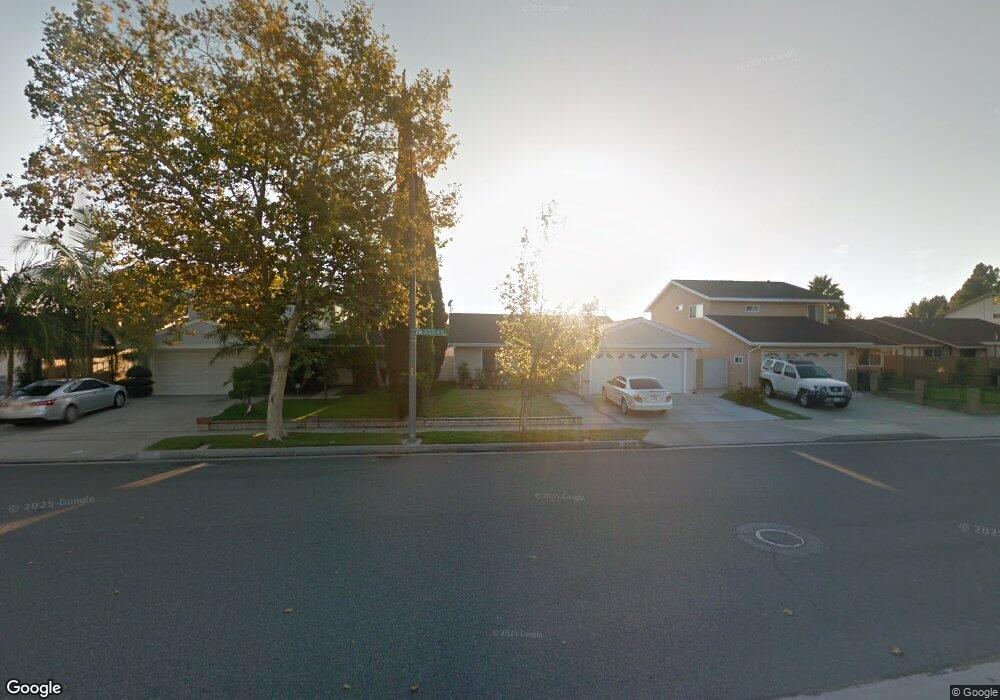
18345 Cecelia Way Cerritos, CA 90703
Estimated Value: $943,317 - $1,099,000
3
Beds
2
Baths
1,252
Sq Ft
$823/Sq Ft
Est. Value
About This Home
This home is located at 18345 Cecelia Way, Cerritos, CA 90703 and is currently estimated at $1,030,579, approximately $823 per square foot. 18345 Cecelia Way is a home located in Los Angeles County with nearby schools including Frank C. Leal Elementary School, Tetzlaff (Martin B.) Middle School, and Cerritos High School.
Ownership History
Date
Name
Owned For
Owner Type
Purchase Details
Closed on
Aug 9, 2003
Sold by
Tong Gregory
Bought by
Tong Gregory and Tong Amy N
Current Estimated Value
Purchase Details
Closed on
Apr 4, 2003
Sold by
Tong Gregory
Bought by
Tong Gregory and Tong Amy N
Home Financials for this Owner
Home Financials are based on the most recent Mortgage that was taken out on this home.
Original Mortgage
$243,000
Interest Rate
5.6%
Purchase Details
Closed on
Dec 11, 2001
Sold by
Tong Gregory
Bought by
Tong Gregory and Tong Amy N
Purchase Details
Closed on
May 20, 1998
Sold by
Cohen Joe
Bought by
Tong Gregoty and Tong Amy N
Home Financials for this Owner
Home Financials are based on the most recent Mortgage that was taken out on this home.
Original Mortgage
$179,600
Interest Rate
7.13%
Create a Home Valuation Report for This Property
The Home Valuation Report is an in-depth analysis detailing your home's value as well as a comparison with similar homes in the area
Home Values in the Area
Average Home Value in this Area
Purchase History
| Date | Buyer | Sale Price | Title Company |
|---|---|---|---|
| Tong Gregory | -- | -- | |
| Tong Gregory | -- | Chicago Title Co | |
| Tong Gregory | -- | -- | |
| Tong Gregoty | $224,500 | First American Title |
Source: Public Records
Mortgage History
| Date | Status | Borrower | Loan Amount |
|---|---|---|---|
| Closed | Tong Gregory | $243,000 | |
| Closed | Tong Gregoty | $179,600 |
Source: Public Records
Tax History Compared to Growth
Tax History
| Year | Tax Paid | Tax Assessment Tax Assessment Total Assessment is a certain percentage of the fair market value that is determined by local assessors to be the total taxable value of land and additions on the property. | Land | Improvement |
|---|---|---|---|---|
| 2025 | $4,414 | $358,443 | $206,926 | $151,517 |
| 2024 | $4,414 | $351,416 | $202,869 | $148,547 |
| 2023 | $4,273 | $344,527 | $198,892 | $145,635 |
| 2022 | $4,206 | $337,773 | $194,993 | $142,780 |
| 2021 | $4,107 | $331,151 | $191,170 | $139,981 |
| 2019 | $4,011 | $321,330 | $185,500 | $135,830 |
| 2018 | $3,690 | $315,030 | $181,863 | $133,167 |
| 2016 | $3,537 | $302,799 | $174,802 | $127,997 |
| 2015 | $3,492 | $298,252 | $172,177 | $126,075 |
| 2014 | $3,426 | $292,411 | $168,805 | $123,606 |
Source: Public Records
Map
Nearby Homes
- 13210 Sutton St
- 13044 Hedda Ln
- 18006 Point Conception Place
- 12947 Arabella Place
- 18517 Betty Way
- 19008 Jeffrey Ave
- 19118 Martha Ave
- 13010 Artesia Blvd
- 7152 Caprice Cir
- 13370 Holly Oak Cir
- 5412 Bransford Dr
- 12711 Castleford Ln
- 19335 Derbyshire Ln
- 12525 Semora St
- 12684 Palm St
- 12967 Moorshire Dr
- 12360 Hedda Dr
- 0 Parcel: 7016-014-017 Ave Unit PW25183248
- 5568 Ozawa Cir
- 12361 Caravel Place
- 18341 Cecelia Way
- 18401 Cecelia Way
- 13176 Hedda Dr
- 13177 Hedda Dr
- 18335 Cecelia Way
- 18407 Cecelia Way
- 13215 Hedda Place
- 13172 Hedda Dr
- 13173 Hedda Dr
- 18411 Cecelia Way
- 18329 Cecelia Way
- 13214 Hedda Place
- 13221 Hedda Place
- 18417 Cecelia Way
- 13169 Arabella Dr
- 18318 Pires Ave
- 13220 Hedda Place
- 18328 Cecelia Way
- 13168 Hedda Dr
- 13169 Hedda Dr