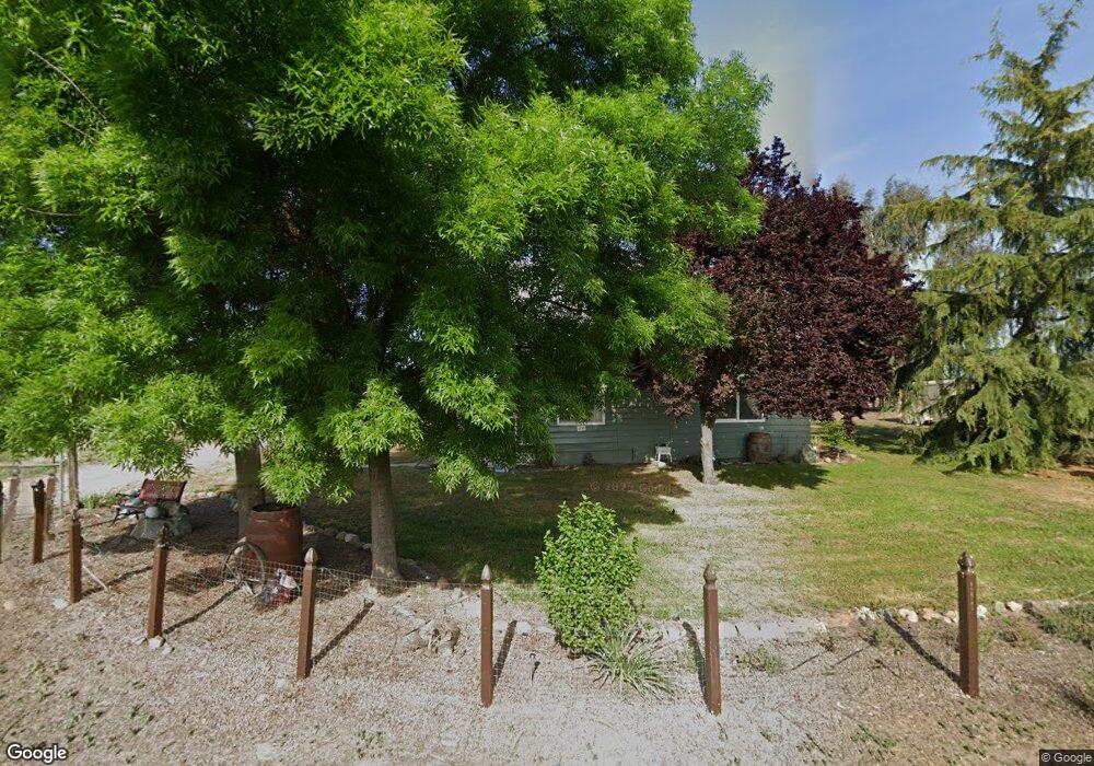
1859 Hull Rd Atwater, CA 95301
Estimated Value: $451,000 - $626,000
3
Beds
2
Baths
1,312
Sq Ft
$419/Sq Ft
Est. Value
About This Home
This home is located at 1859 Hull Rd, Atwater, CA 95301 and is currently estimated at $549,608, approximately $418 per square foot. 1859 Hull Rd is a home located in Merced County with nearby schools including McSwain Elementary School, Buhach Colony High School, and Landmark Christian School.
Ownership History
Date
Name
Owned For
Owner Type
Purchase Details
Closed on
Sep 8, 1999
Sold by
Washington Mutual Bank Fa
Bought by
Struble Constance
Current Estimated Value
Home Financials for this Owner
Home Financials are based on the most recent Mortgage that was taken out on this home.
Original Mortgage
$127,500
Interest Rate
7.82%
Mortgage Type
FHA
Purchase Details
Closed on
May 13, 1999
Sold by
Nunes Art A
Bought by
Washington Mutual Bank Fa
Create a Home Valuation Report for This Property
The Home Valuation Report is an in-depth analysis detailing your home's value as well as a comparison with similar homes in the area
Purchase History
| Date | Buyer | Sale Price | Title Company |
|---|---|---|---|
| Struble Constance | $109,500 | Chicago Title Co | |
| Washington Mutual Bank Fa | $106,720 | Benefit Land Title Ins Co |
Source: Public Records
Mortgage History
| Date | Status | Borrower | Loan Amount |
|---|---|---|---|
| Previous Owner | Struble Constance | $127,500 |
Source: Public Records
Tax History
| Year | Tax Paid | Tax Assessment Tax Assessment Total Assessment is a certain percentage of the fair market value that is determined by local assessors to be the total taxable value of land and additions on the property. | Land | Improvement |
|---|---|---|---|---|
| 2025 | $1,774 | $170,325 | $99,893 | $70,432 |
| 2024 | $1,774 | $166,986 | $97,935 | $69,051 |
| 2023 | $1,739 | $163,713 | $96,015 | $67,698 |
| 2022 | $1,715 | $160,504 | $94,133 | $66,371 |
| 2021 | $1,700 | $157,358 | $92,288 | $65,070 |
| 2020 | $1,765 | $155,745 | $91,342 | $64,403 |
| 2019 | $1,630 | $152,692 | $89,551 | $63,141 |
| 2018 | $1,593 | $149,699 | $87,796 | $61,903 |
| 2017 | $1,572 | $146,765 | $86,075 | $60,690 |
| 2016 | $1,550 | $143,888 | $84,388 | $59,500 |
| 2015 | $1,530 | $141,728 | $83,121 | $58,607 |
| 2014 | $1,554 | $138,952 | $81,493 | $57,459 |
Source: Public Records
Map
Nearby Homes
- 8808 California 140
- 0 Green Sands Ave Unit MC22098863
- 9990 W 55th St
- 0 Aka W of 75th Unit CV25226384
- 8808 State Highway 140
- 6410 Stockton Ave
- 5931 Presidio Ct
- 2484 Sierra Springs Ct
- 1371 Shady Cove Ave
- 5704 W State Highway 140
- 5561 Brighton Ct
- 3465 Giannini Rd
- 1680 Station Ave
- 1 White Crane Rd
- 2104 Redding Way
- 1883 Sycamore Ave
- 0 Moran Ave
- 0 Queen Elizabeth Dr
- 1940 Truckee Dr
- 1831 Olive Ave
- 1959 Hull Rd
- 1904 Hull Rd
- 1850 Hull Rd
- 1924 Hull Rd
- 1937 Hull Rd
- 1760 Hull Rd
- 1745 Hull Rd
- 1957 Hull Rd
- 7559 White Crane Rd
- 7701 White Crane Rd
- 7741 White Crane Rd
- 7255 White Crane Rd
- 7740 White Crane Rd
- 1526 Hull Rd
- 7246 White Crane Rd
- 2255 Hull Rd
- 7934 White Crane Rd
- 7143 White Crane Rd
- 1401 Hull Rd
- 1456 Bert Crane Rd
Your Personal Tour Guide
Ask me questions while you tour the home.