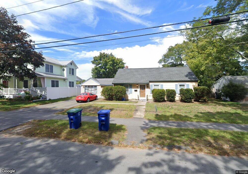
19 Lakeside Dr Braintree, MA 02184
North Braintree NeighborhoodEstimated Value: $573,000 - $651,000
2
Beds
1
Bath
1,292
Sq Ft
$476/Sq Ft
Est. Value
About This Home
This home is located at 19 Lakeside Dr, Braintree, MA 02184 and is currently estimated at $615,437, approximately $476 per square foot. 19 Lakeside Dr is a home located in Norfolk County with nearby schools including Meeting House Montessori School, South Shore SDA School, and Thayer Academy.
Ownership History
Date
Name
Owned For
Owner Type
Purchase Details
Closed on
Jul 21, 1989
Sold by
Ouellette Dorothy
Bought by
Hui Mo F
Current Estimated Value
Home Financials for this Owner
Home Financials are based on the most recent Mortgage that was taken out on this home.
Original Mortgage
$62,000
Interest Rate
10.07%
Mortgage Type
Purchase Money Mortgage
Create a Home Valuation Report for This Property
The Home Valuation Report is an in-depth analysis detailing your home's value as well as a comparison with similar homes in the area
Home Values in the Area
Average Home Value in this Area
Purchase History
| Date | Buyer | Sale Price | Title Company |
|---|---|---|---|
| Hui Mo F | $142,000 | -- | |
| Hui Mo F | $142,000 | -- |
Source: Public Records
Mortgage History
| Date | Status | Borrower | Loan Amount |
|---|---|---|---|
| Closed | Hui Mo F | $55,000 | |
| Closed | Hui Mo F | $62,000 |
Source: Public Records
Tax History Compared to Growth
Tax History
| Year | Tax Paid | Tax Assessment Tax Assessment Total Assessment is a certain percentage of the fair market value that is determined by local assessors to be the total taxable value of land and additions on the property. | Land | Improvement |
|---|---|---|---|---|
| 2025 | $4,871 | $488,100 | $297,000 | $191,100 |
| 2024 | $4,392 | $463,300 | $274,500 | $188,800 |
| 2023 | $4,191 | $429,400 | $252,000 | $177,400 |
| 2022 | $4,093 | $411,400 | $234,000 | $177,400 |
| 2021 | $3,800 | $381,900 | $216,000 | $165,900 |
| 2020 | $3,588 | $363,900 | $198,000 | $165,900 |
| 2019 | $3,478 | $344,700 | $198,000 | $146,700 |
| 2018 | $3,288 | $312,000 | $171,000 | $141,000 |
| 2017 | $3,254 | $303,000 | $162,000 | $141,000 |
| 2016 | $3,092 | $281,600 | $144,000 | $137,600 |
| 2015 | $3,018 | $272,600 | $135,000 | $137,600 |
| 2014 | $2,842 | $248,900 | $129,600 | $119,300 |
Source: Public Records
Map
Nearby Homes
- 78 Windemere Cir
- 29 Joseph Rd
- 63 Dickerman Ln
- 175 West St
- 6 Oak St
- 37 Monatiquot Ave
- 491 Washington St Unit 1
- 47 Addison St
- 305 Franklin St
- 9 Independence Ave Unit 105
- 146 Eleanor Dr
- 195 Independence Ave Unit 137
- 808 Willard St Unit F11
- 21 Totman St Unit 202
- 21 Totman St Unit 309
- 21 Totman St Unit Model-1
- 21 Totman St Unit 209
- 21 Totman St Unit 203
- 21 Totman St Unit 2
- 347 Centre St