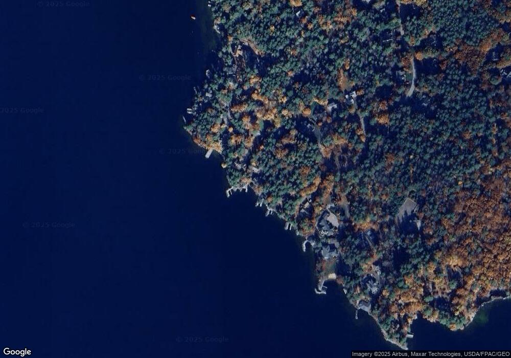
19 Lewando Ln Wolfeboro, NH 03894
Estimated Value: $1,112,000 - $2,175,000
4
Beds
2
Baths
2,219
Sq Ft
$758/Sq Ft
Est. Value
About This Home
This home is located at 19 Lewando Ln, Wolfeboro, NH 03894 and is currently estimated at $1,681,998, approximately $757 per square foot. 19 Lewando Ln is a home with nearby schools including Carpenter Elementary School, Crescent Lake School, and Kingswood Regional Middle School.
Ownership History
Date
Name
Owned For
Owner Type
Purchase Details
Closed on
Mar 8, 2013
Sold by
John Craig Heston Jr L and Burch-Heston Elizabeth
Bought by
Why Gregory R and Why Shelley G
Current Estimated Value
Create a Home Valuation Report for This Property
The Home Valuation Report is an in-depth analysis detailing your home's value as well as a comparison with similar homes in the area
Home Values in the Area
Average Home Value in this Area
Purchase History
| Date | Buyer | Sale Price | Title Company |
|---|---|---|---|
| Why Gregory R | $930,000 | -- | |
| Why Gregory R | $930,000 | -- |
Source: Public Records
Mortgage History
| Date | Status | Borrower | Loan Amount |
|---|---|---|---|
| Closed | Why Gregory R | $0 |
Source: Public Records
Tax History Compared to Growth
Tax History
| Year | Tax Paid | Tax Assessment Tax Assessment Total Assessment is a certain percentage of the fair market value that is determined by local assessors to be the total taxable value of land and additions on the property. | Land | Improvement |
|---|---|---|---|---|
| 2024 | $17,178 | $1,080,400 | $831,600 | $248,800 |
| 2023 | $15,871 | $1,080,400 | $831,600 | $248,800 |
| 2022 | $14,283 | $1,080,400 | $831,600 | $248,800 |
| 2021 | $14,769 | $1,080,400 | $831,600 | $248,800 |
| 2020 | $14,056 | $1,080,400 | $831,600 | $248,800 |
| 2019 | $14,939 | $943,100 | $719,100 | $224,000 |
| 2018 | $9 | $943,100 | $719,100 | $224,000 |
| 2017 | $7 | $943,100 | $719,100 | $224,000 |
| 2016 | $13,798 | $943,100 | $719,100 | $224,000 |
| 2015 | $13,206 | $946,700 | $719,100 | $227,600 |
| 2014 | $11,928 | $916,800 | $703,800 | $213,000 |
| 2013 | $11,739 | $915,000 | $703,800 | $211,200 |
Source: Public Records
Map
Nearby Homes
- 163 Clark Rd
- 21 Goodrich Rd
- 79 S Main St
- 337 S Main St Unit Interval week 4 Janu
- 180 Sewall Rd
- 195 Sewall Rd
- 68 Railroad Ave Unit 3
- 61 Lehner St
- 5 Delings Cove Rd
- 87 Timberlane P
- 68 Center St
- 120 Big Barndoor Island
- 108 Center St
- 79 River St
- 222 N Main St
- 127 Forest Rd
- 8 Pine Hill Rd
- 208 Forest Rd
- 172 Center St
- 104 Hopewell Rd