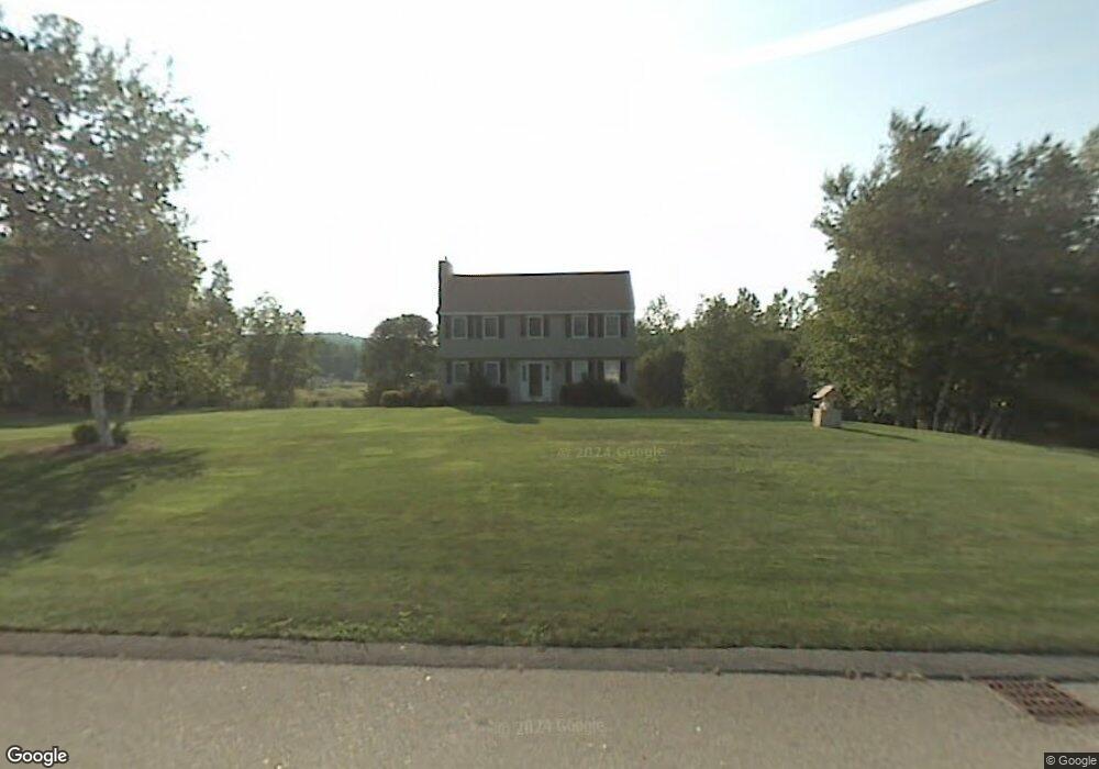
19 Pondview Dr Pelham, NH 03076
Estimated Value: $612,000 - $761,000
3
Beds
3
Baths
2,200
Sq Ft
$304/Sq Ft
Est. Value
About This Home
This home is located at 19 Pondview Dr, Pelham, NH 03076 and is currently estimated at $667,773, approximately $303 per square foot. 19 Pondview Dr is a home located in Hillsborough County with nearby schools including Pelham Elementary School, Pelham Memorial School, and Pelham High School.
Ownership History
Date
Name
Owned For
Owner Type
Purchase Details
Closed on
Jun 10, 2025
Sold by
Daniluk Brian M
Bought by
Brian M Daniluk Grantor T M and Brian Daniluk
Current Estimated Value
Purchase Details
Closed on
Mar 31, 2011
Sold by
Anderson Thomas C and Anderson Alice B
Bought by
Daniluk Brian M
Home Financials for this Owner
Home Financials are based on the most recent Mortgage that was taken out on this home.
Original Mortgage
$208,000
Interest Rate
5.04%
Mortgage Type
Purchase Money Mortgage
Purchase Details
Closed on
Apr 25, 2000
Sold by
Borrell Dean and Borrell Wendy
Bought by
Anderson Thomas C and Anderson Alice B
Create a Home Valuation Report for This Property
The Home Valuation Report is an in-depth analysis detailing your home's value as well as a comparison with similar homes in the area
Home Values in the Area
Average Home Value in this Area
Purchase History
| Date | Buyer | Sale Price | Title Company |
|---|---|---|---|
| Brian M Daniluk Grantor T M | -- | -- | |
| Daniluk Brian M | $260,000 | -- | |
| Daniluk Brian M | $260,000 | -- | |
| Anderson Thomas C | $215,000 | -- | |
| Anderson Thomas C | $215,000 | -- |
Source: Public Records
Mortgage History
| Date | Status | Borrower | Loan Amount |
|---|---|---|---|
| Previous Owner | Anderson Thomas C | $201,000 | |
| Previous Owner | Anderson Thomas C | $208,000 |
Source: Public Records
Tax History
| Year | Tax Paid | Tax Assessment Tax Assessment Total Assessment is a certain percentage of the fair market value that is determined by local assessors to be the total taxable value of land and additions on the property. | Land | Improvement |
|---|---|---|---|---|
| 2024 | $8,988 | $490,100 | $172,800 | $317,300 |
| 2023 | $8,915 | $490,100 | $172,800 | $317,300 |
| 2022 | $8,538 | $490,100 | $172,800 | $317,300 |
| 2021 | $7,822 | $490,100 | $172,800 | $317,300 |
| 2020 | $6,890 | $341,100 | $138,400 | $202,700 |
| 2019 | $6,590 | $339,700 | $138,400 | $201,300 |
| 2018 | $6,708 | $312,600 | $138,400 | $174,200 |
| 2017 | $6,705 | $312,600 | $138,400 | $174,200 |
| 2016 | $6,549 | $312,600 | $138,400 | $174,200 |
| 2015 | $6,510 | $279,900 | $131,700 | $148,200 |
| 2014 | $6,401 | $279,900 | $131,700 | $148,200 |
| 2013 | $6,401 | $279,900 | $131,700 | $148,200 |
Source: Public Records
Map
Nearby Homes
- 10 Oakland Ridge Rd Unit 11
- 6 David Dr
- 40 Westfall Rd
- 6 Wilshire Ln Unit 6
- 4 Wilshire Ln Unit 4
- 4 Wilshire Ln
- 94 Tanager Cir Unit 94
- 4 Haystack Cir
- 6 Hemlock Dr
- 2 Aspen Dr
- 2 Aspen Dr Unit Lot 146-17
- 9 Cornstalk Ln
- 43 & 53 5th St
- 1109 Mammoth Rd Unit A
- 1102 Mammoth Rd Unit A&B
- 11 Venus Way
- 7 Venus Way Unit 22
- 26 Sagewood Dr Unit 26
- 104 Long Pond Rd
- 2 S Shore Dr
Your Personal Tour Guide
Ask me questions while you tour the home.