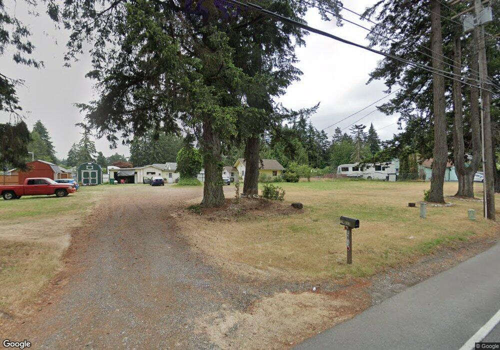
19013 B St E Spanaway, WA 98387
Estimated Value: $368,000 - $481,000
2
Beds
1
Bath
824
Sq Ft
$504/Sq Ft
Est. Value
About This Home
This home is located at 19013 B St E, Spanaway, WA 98387 and is currently estimated at $415,076, approximately $503 per square foot. 19013 B St E is a home located in Pierce County with nearby schools including Camas Prairie Elementary School, Cedarcrest Junior High School, and Spanaway Lake High School.
Ownership History
Date
Name
Owned For
Owner Type
Purchase Details
Closed on
Sep 12, 2023
Sold by
Monroe James C and Monroe Carolyn B
Bought by
James C And Carolyn B Monroe Living Trust and Monroe
Current Estimated Value
Purchase Details
Closed on
Dec 21, 2001
Sold by
Halvorsen Jon M
Bought by
Monroe James C and Monroe Carolyn B
Home Financials for this Owner
Home Financials are based on the most recent Mortgage that was taken out on this home.
Original Mortgage
$114,240
Interest Rate
6.39%
Mortgage Type
VA
Create a Home Valuation Report for This Property
The Home Valuation Report is an in-depth analysis detailing your home's value as well as a comparison with similar homes in the area
Home Values in the Area
Average Home Value in this Area
Purchase History
| Date | Buyer | Sale Price | Title Company |
|---|---|---|---|
| James C And Carolyn B Monroe Living Trust | -- | None Listed On Document | |
| Monroe James C | $112,000 | Chicago Title Insurance Comp |
Source: Public Records
Mortgage History
| Date | Status | Borrower | Loan Amount |
|---|---|---|---|
| Previous Owner | Monroe James C | $114,240 |
Source: Public Records
Tax History
| Year | Tax Paid | Tax Assessment Tax Assessment Total Assessment is a certain percentage of the fair market value that is determined by local assessors to be the total taxable value of land and additions on the property. | Land | Improvement |
|---|---|---|---|---|
| 2025 | $4,101 | $353,600 | $224,400 | $129,200 |
| 2024 | $4,101 | $353,700 | $224,400 | $129,300 |
| 2023 | $4,101 | $346,000 | $230,800 | $115,200 |
| 2022 | $3,813 | $352,700 | $222,800 | $129,900 |
| 2021 | $3,418 | $237,600 | $137,900 | $99,700 |
| 2019 | $2,445 | $211,300 | $119,600 | $91,700 |
| 2018 | $2,768 | $195,000 | $107,600 | $87,400 |
| 2017 | $2,487 | $173,600 | $95,700 | $77,900 |
| 2016 | $2,405 | $148,500 | $82,100 | $66,400 |
| 2014 | $2,057 | $139,800 | $77,900 | $61,900 |
| 2013 | $2,057 | $125,100 | $67,200 | $57,900 |
Source: Public Records
Map
Nearby Homes
- 2 189th Street Ct E
- 511 190th St E
- 516 189th Street Ct E
- 1 8th Ave E
- 18512 4th Avenue Ct E Unit 14
- 18508 4th Avenue Ct E Unit 15
- 604 185th Street Ct E Unit 28
- 608 185th Street Ct E Unit 29
- 501 185th Street Ct E Unit 19
- 612 185th Street Ct E Unit 30
- 454 184th Street Ct E Unit 64
- 604 184th Street Ct E Unit 50
- 449 184th Street Ct E Unit 57
- 461 184th Street Ct E Unit 54
- 505 184th Street Ct E Unit 53
- 509 184th Street Ct E Unit 52
- 605 184th Street Ct E Unit 49
- 611 184th Street Ct E Unit 48
- 18439 7th Avenue Ct E Unit 37
- 703 184th Street Ct E Unit 47
- 316 190th Street Ct E
- 19121 B St E
- 316 190th Street Ct E
- 19109 B St E
- 310 190th St E
- 217 191st Street Ct E
- 217 191st Street Ct E
- 318 190th St E
- 322 190th Street Ct E
- 213 191st Street Ct E
- 324 190th St E
- 309 192nd St E
- 19010 B St E
- 209 191st Street Ct E
- 406 190th St E
- 145 192nd Street Ct E
- 408 190th St E
- 145 192nd St E
- 19120 B St E
- 218 191st Street Ct E Unit 26
Your Personal Tour Guide
Ask me questions while you tour the home.