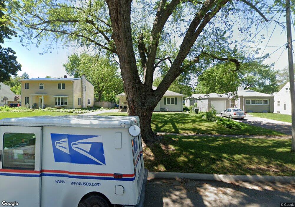
1902 W 6th St Waterloo, IA 50702
Liberty Park NeighborhoodEstimated Value: $160,000 - $203,000
3
Beds
1
Bath
1,414
Sq Ft
$127/Sq Ft
Est. Value
About This Home
This home is located at 1902 W 6th St, Waterloo, IA 50702 and is currently estimated at $179,039, approximately $126 per square foot. 1902 W 6th St is a home located in Black Hawk County with nearby schools including Kittrell Elementary School, Hoover Middle School, and West High School.
Ownership History
Date
Name
Owned For
Owner Type
Purchase Details
Closed on
May 8, 2015
Sold by
Kent Scott S and Kent Kerri L
Bought by
Hogan Brian G
Current Estimated Value
Purchase Details
Closed on
Jan 10, 2013
Sold by
Anesi Jerry K and Anesi Johnna R
Bought by
Kent Scott S and Kent Kerri L
Home Financials for this Owner
Home Financials are based on the most recent Mortgage that was taken out on this home.
Original Mortgage
$6,420
Interest Rate
3.32%
Mortgage Type
Purchase Money Mortgage
Purchase Details
Closed on
Nov 1, 2011
Sold by
Vanvanle Dat Van and Le Yumi
Bought by
Anesi Jerry K and Anesi Johnna R
Home Financials for this Owner
Home Financials are based on the most recent Mortgage that was taken out on this home.
Original Mortgage
$93,000
Interest Rate
4.02%
Mortgage Type
New Conventional
Purchase Details
Closed on
Jun 17, 2009
Sold by
Smedley Robert D and Smedley Erin
Bought by
Vanvanle Dat Van and Le Yumi
Create a Home Valuation Report for This Property
The Home Valuation Report is an in-depth analysis detailing your home's value as well as a comparison with similar homes in the area
Home Values in the Area
Average Home Value in this Area
Purchase History
| Date | Buyer | Sale Price | Title Company |
|---|---|---|---|
| Hogan Brian G | -- | None Available | |
| Kent Scott S | $128,500 | None Available | |
| Anesi Jerry K | $118,000 | None Available | |
| Vanvanle Dat Van | $119,000 | Black Hawk County Abstract & |
Source: Public Records
Mortgage History
| Date | Status | Borrower | Loan Amount |
|---|---|---|---|
| Previous Owner | Kent Scott S | $6,420 | |
| Previous Owner | Anesi Jerry K | $93,000 |
Source: Public Records
Tax History
| Year | Tax Paid | Tax Assessment Tax Assessment Total Assessment is a certain percentage of the fair market value that is determined by local assessors to be the total taxable value of land and additions on the property. | Land | Improvement |
|---|---|---|---|---|
| 2025 | $4,152 | $189,400 | $26,460 | $162,940 |
| 2024 | $4,152 | $191,380 | $26,460 | $164,920 |
| 2023 | $3,182 | $191,380 | $26,460 | $164,920 |
| 2022 | $3,098 | $144,930 | $26,460 | $118,470 |
| 2021 | $3,154 | $144,930 | $26,460 | $118,470 |
| 2020 | $3,104 | $139,260 | $20,790 | $118,470 |
| 2019 | $3,104 | $139,260 | $20,790 | $118,470 |
| 2018 | $3,104 | $139,260 | $20,790 | $118,470 |
| 2017 | $3,104 | $139,260 | $20,790 | $118,470 |
| 2016 | $3,160 | $139,260 | $20,790 | $118,470 |
| 2015 | $3,160 | $139,260 | $20,790 | $118,470 |
| 2014 | $3,076 | $133,020 | $20,790 | $112,230 |
Source: Public Records
Map
Nearby Homes
- 1901 W 7th St
- 814 E Mitchell Ave
- 812 Hawthorne Ave
- 922 E Mitchell Ave
- 1809 Baltimore St
- 1101 Glenny Ave
- 1107 E Mitchell Ave
- 1017 Forest Ave
- 1115 Hawthorne Ave
- 826 Williston Ave
- 312 Cornwall Ave
- 216 Bourland Ave
- 1171 Liberty Ave
- 1229 W 7th St
- 1125 Bertch Ave
- 1103 Easton Ave
- 1425 W 5th St
- 1207 Bertch Ave
- 2425 Randolph St
- 105 Cornwall Ave
Your Personal Tour Guide
Ask me questions while you tour the home.