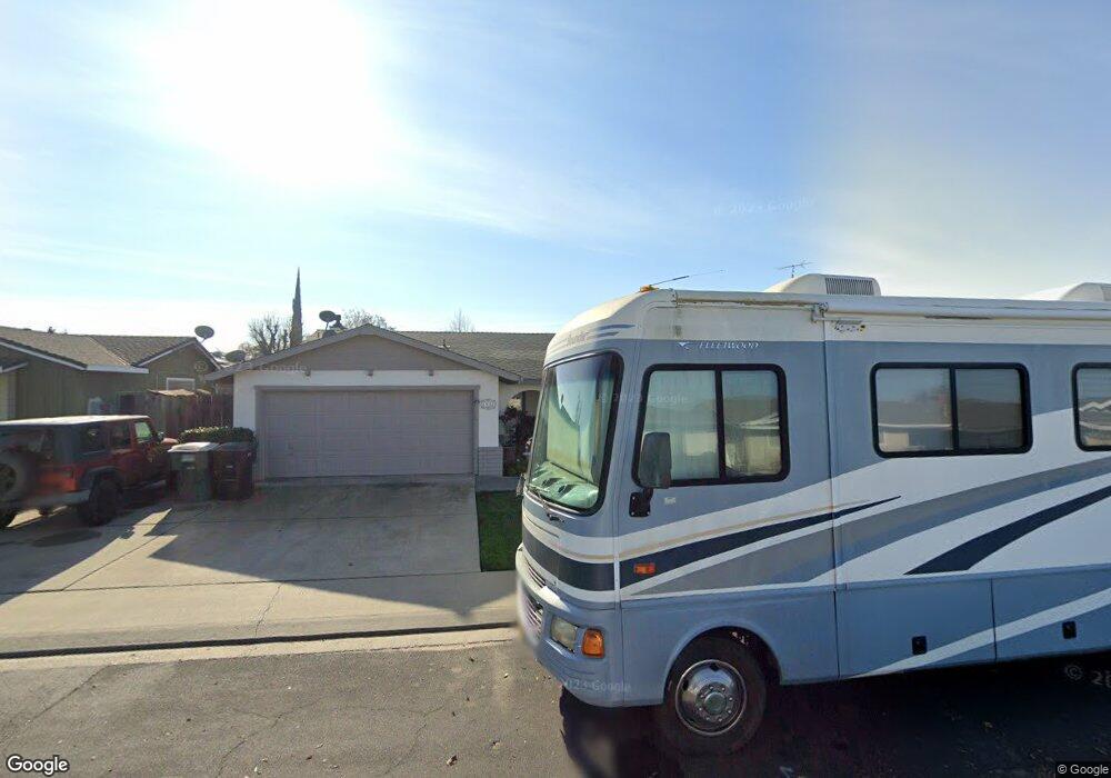
1912 Kendall Ave Modesto, CA 95355
Northeast Modesto NeighborhoodEstimated Value: $451,000 - $493,000
3
Beds
2
Baths
1,624
Sq Ft
$291/Sq Ft
Est. Value
About This Home
This home is located at 1912 Kendall Ave, Modesto, CA 95355 and is currently estimated at $472,446, approximately $290 per square foot. 1912 Kendall Ave is a home located in Stanislaus County with nearby schools including Rose Avenue Elementary School, La Loma Jr High, and Thomas Downey High School.
Ownership History
Date
Name
Owned For
Owner Type
Purchase Details
Closed on
Dec 30, 2020
Sold by
Cummins Fred D and Cummins Teri L
Bought by
Cummins Fred D and The Cummins Family Trust
Current Estimated Value
Purchase Details
Closed on
Jul 10, 1998
Sold by
Sauls Ken D and Sauls Robin E
Bought by
Cummins Fred D and Cummins Teri L
Home Financials for this Owner
Home Financials are based on the most recent Mortgage that was taken out on this home.
Original Mortgage
$122,503
Outstanding Balance
$24,852
Interest Rate
6.9%
Mortgage Type
FHA
Estimated Equity
$447,594
Purchase Details
Closed on
Jun 21, 1995
Sold by
Hollingsworth Steven A and Hollingsworth Cheryl A
Bought by
Sauls Ken D and Sauls Robin E
Home Financials for this Owner
Home Financials are based on the most recent Mortgage that was taken out on this home.
Original Mortgage
$120,501
Interest Rate
7.74%
Mortgage Type
FHA
Create a Home Valuation Report for This Property
The Home Valuation Report is an in-depth analysis detailing your home's value as well as a comparison with similar homes in the area
Home Values in the Area
Average Home Value in this Area
Purchase History
| Date | Buyer | Sale Price | Title Company |
|---|---|---|---|
| Cummins Fred D | -- | None Available | |
| Cummins Fred D | $123,500 | Fidelity National Title Co | |
| Sauls Ken D | $122,000 | Fidelity National Title |
Source: Public Records
Mortgage History
| Date | Status | Borrower | Loan Amount |
|---|---|---|---|
| Open | Cummins Fred D | $122,503 | |
| Previous Owner | Sauls Ken D | $120,501 |
Source: Public Records
Tax History Compared to Growth
Tax History
| Year | Tax Paid | Tax Assessment Tax Assessment Total Assessment is a certain percentage of the fair market value that is determined by local assessors to be the total taxable value of land and additions on the property. | Land | Improvement |
|---|---|---|---|---|
| 2025 | $2,182 | $193,592 | $54,860 | $138,732 |
| 2024 | $2,083 | $189,797 | $53,785 | $136,012 |
| 2023 | $2,051 | $186,077 | $52,731 | $133,346 |
| 2022 | $1,999 | $182,430 | $51,698 | $130,732 |
| 2021 | $1,879 | $178,854 | $50,685 | $128,169 |
| 2020 | $1,915 | $177,021 | $50,166 | $126,855 |
| 2019 | $1,869 | $173,551 | $49,183 | $124,368 |
| 2018 | $1,778 | $170,149 | $48,219 | $121,930 |
| 2017 | $1,734 | $166,814 | $47,274 | $119,540 |
| 2016 | $1,699 | $163,545 | $46,348 | $117,197 |
| 2015 | $1,675 | $161,089 | $45,652 | $115,437 |
| 2014 | $1,648 | $157,934 | $44,758 | $113,176 |
Source: Public Records
Map
Nearby Homes
- 1908 Hagstrom Ct
- 1333 Rose Ave
- 1600 E Coolidge Ave
- 1300 Sharonwood Dr
- 1508 Rosario Ave
- 1813 Murrietta Ln
- 1828 Celeste Dr
- 2024 Woodacre Dr
- 1836 Landini Way
- 1824 Landini Way
- 1608 Kruger Dr
- 2044 Wolcott Way
- 2004 Presidio Ave
- 1717 Wylie Dr
- 2307 Oakdale Rd Unit 1
- 2204 Curzon Dr
- 1009 Gemini Ct
- 2201 Presidio Ave
- 908 Swenson Way
- 2317 Jeanine Dr
- 1916 Kendall Ave
- 1908 Kendall Ave
- 1913 Rockford Ave
- 1917 Rockford Ave
- 1904 Kendall Ave
- 1920 Kendall Ave
- 1913 Kendall Ave
- 1909 Kendall Ave
- 1917 Kendall Ave
- 1905 Rockford Ave
- 1921 Rockford Ave
- 1905 Kendall Ave
- 1921 Kendall Ave
- 1516 Gladwin Ln
- 1924 Kendall Ave
- 1512 Gladwin Ln
- 1925 Rockford Ave
- 1908 Rockford Ave
- 1904 Rockford Ave
- 1901 Kendall Ave