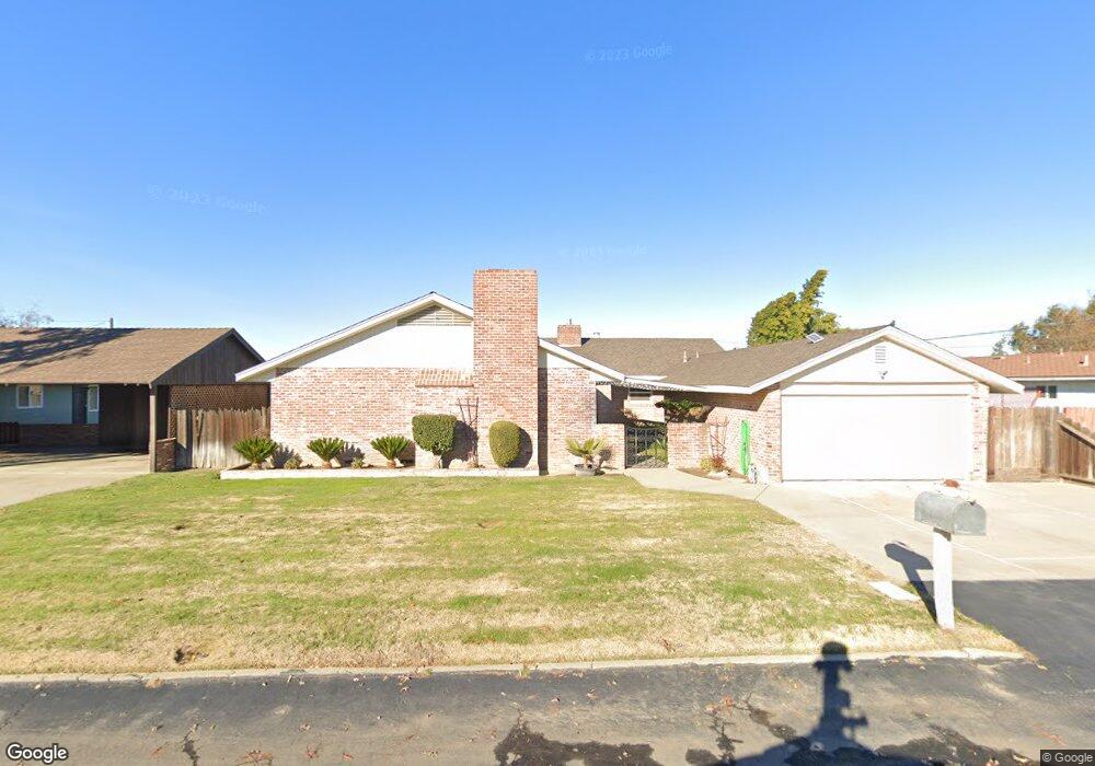
1915 Michel Ave Modesto, CA 95358
West Modesto NeighborhoodEstimated Value: $485,000 - $547,000
4
Beds
2
Baths
2,534
Sq Ft
$207/Sq Ft
Est. Value
About This Home
This home is located at 1915 Michel Ave, Modesto, CA 95358 and is currently estimated at $524,750, approximately $207 per square foot. 1915 Michel Ave is a home located in Stanislaus County with nearby schools including Burbank Elementary School, Mark Twain Junior High School, and Modesto High School.
Ownership History
Date
Name
Owned For
Owner Type
Purchase Details
Closed on
May 3, 1994
Sold by
Gray Margaret L
Bought by
Dahlen Todd H and Dahlen Lisa E
Current Estimated Value
Home Financials for this Owner
Home Financials are based on the most recent Mortgage that was taken out on this home.
Original Mortgage
$132,000
Interest Rate
8.1%
Create a Home Valuation Report for This Property
The Home Valuation Report is an in-depth analysis detailing your home's value as well as a comparison with similar homes in the area
Home Values in the Area
Average Home Value in this Area
Purchase History
| Date | Buyer | Sale Price | Title Company |
|---|---|---|---|
| Dahlen Todd H | $165,000 | Chicago Title Company |
Source: Public Records
Mortgage History
| Date | Status | Borrower | Loan Amount |
|---|---|---|---|
| Closed | Dahlen Todd H | $132,000 |
Source: Public Records
Tax History
| Year | Tax Paid | Tax Assessment Tax Assessment Total Assessment is a certain percentage of the fair market value that is determined by local assessors to be the total taxable value of land and additions on the property. | Land | Improvement |
|---|---|---|---|---|
| 2025 | $3,571 | $297,673 | $59,480 | $238,193 |
| 2024 | $3,414 | $291,837 | $58,314 | $233,523 |
| 2023 | $3,365 | $286,116 | $57,171 | $228,945 |
| 2022 | $3,284 | $280,506 | $56,050 | $224,456 |
| 2021 | $3,093 | $275,006 | $54,951 | $220,055 |
| 2020 | $3,151 | $272,187 | $54,388 | $217,799 |
| 2019 | $3,080 | $266,851 | $53,322 | $213,529 |
| 2018 | $2,936 | $261,620 | $52,277 | $209,343 |
| 2017 | $2,867 | $256,491 | $51,252 | $205,239 |
| 2016 | $2,813 | $251,463 | $50,248 | $201,215 |
| 2015 | $2,775 | $247,687 | $49,494 | $198,193 |
| 2014 | $2,184 | $200,000 | $24,000 | $176,000 |
Source: Public Records
Map
Nearby Homes
- 2504 Paradise Rd
- 1805 Vernon Ave
- 1908 Vernon Ave
- 1416 Victoria Dr
- 2104 Olive Branch Dr
- 2012 Ridgecrest Dr
- 1200 S Carpenter Rd #121 Rd Unit 121
- 1200 S Carpenter Rd Unit 42
- 1200 S Carpenter Rd Unit 18
- 1200 S Carpenter Rd
- 1200 S Carpenter Rd Unit 71
- 1200 S Carpenter Rd Unit 51
- 1200 S Carpenter Rd Unit 4
- 1200 S Carpenter Rd Unit 144
- 1200 S Carpenter Rd Unit 10
- 1200 S Carpenter Rd Unit 105
- 1200 S Carpenter Rd Unit 22
- 1305 Levi Dr
- 1820 Kenneth St
- 1016 Lombardy Dr
- 1919 Michel Ave
- 1923 Michel Ave
- 1901 Michel Ave
- 1910 Michel Ave
- 1914 Michel Ave
- 1906 Michel Ave
- 1918 Michel Ave
- 1716 Bowman Ave
- 1900 Michel Ave
- 1722 Bowman Ave
- 1820 Michel Ave
- 1721 Ohio Ave
- 1701 Ohio Ave
- 1653 Ohio Ave
- 1728 Bowman Ave
- 1909 Paradise Rd
- 1905 Paradise Rd
- 1729 Ohio Ave
- 1917 Paradise Rd
- 1817 Paradise Rd
Your Personal Tour Guide
Ask me questions while you tour the home.