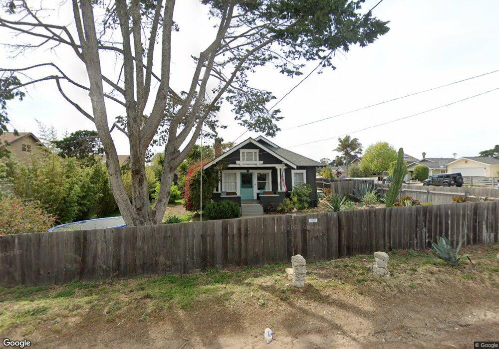
1920 24th St Oceano, CA 93445
Oceano NeighborhoodEstimated Value: $524,000 - $726,879
3
Beds
1
Bath
1,210
Sq Ft
$536/Sq Ft
Est. Value
About This Home
This home is located at 1920 24th St, Oceano, CA 93445 and is currently estimated at $648,220, approximately $535 per square foot. 1920 24th St is a home located in San Luis Obispo County with nearby schools including Fairgrove Elementary School, Paulding Middle School, and Arroyo Grande High School.
Ownership History
Date
Name
Owned For
Owner Type
Purchase Details
Closed on
Jan 19, 2022
Sold by
Rank and Kristin
Bought by
Famil Michael and Famil Kristin
Current Estimated Value
Purchase Details
Closed on
Jul 15, 2021
Sold by
Rank Michael
Bought by
Rank Michael and Rank Kristin
Purchase Details
Closed on
Jan 16, 2020
Sold by
Rank Kristin
Bought by
Rank Michael
Home Financials for this Owner
Home Financials are based on the most recent Mortgage that was taken out on this home.
Original Mortgage
$338,500
Interest Rate
3.74%
Mortgage Type
New Conventional
Purchase Details
Closed on
May 26, 2016
Sold by
Rank Sharla Lynn
Bought by
Rank Michael Paul
Purchase Details
Closed on
Apr 14, 2009
Sold by
Steward Anthony and Estate Of Wesley Pierce Estate
Bought by
Rank Michael and Rank Sharla
Home Financials for this Owner
Home Financials are based on the most recent Mortgage that was taken out on this home.
Original Mortgage
$255,290
Interest Rate
4.78%
Mortgage Type
FHA
Purchase Details
Closed on
Mar 6, 2006
Sold by
Va
Bought by
Pierce Wesley E
Create a Home Valuation Report for This Property
The Home Valuation Report is an in-depth analysis detailing your home's value as well as a comparison with similar homes in the area
Home Values in the Area
Average Home Value in this Area
Purchase History
| Date | Buyer | Sale Price | Title Company |
|---|---|---|---|
| Famil Michael | -- | None Listed On Document | |
| Rank Michael | -- | Amrock Inc | |
| Rank Michael | -- | Fidelity National Title Co | |
| Rank Michael | -- | Fidelity National Title Co | |
| Rank Michael Paul | -- | None Available | |
| Rank Michael | $260,000 | First American Title Company | |
| Pierce Wesley E | -- | Public |
Source: Public Records
Mortgage History
| Date | Status | Borrower | Loan Amount |
|---|---|---|---|
| Previous Owner | Rank Michael | $338,500 | |
| Previous Owner | Rank Michael | $255,290 |
Source: Public Records
Tax History
| Year | Tax Paid | Tax Assessment Tax Assessment Total Assessment is a certain percentage of the fair market value that is determined by local assessors to be the total taxable value of land and additions on the property. | Land | Improvement |
|---|---|---|---|---|
| 2025 | $3,697 | $334,802 | $193,156 | $141,646 |
| 2024 | $3,657 | $328,238 | $189,369 | $138,869 |
| 2023 | $3,657 | $321,803 | $185,656 | $136,147 |
| 2022 | $3,605 | $315,494 | $182,016 | $133,478 |
| 2021 | $3,597 | $309,309 | $178,448 | $130,861 |
| 2020 | $3,559 | $306,139 | $176,619 | $129,520 |
| 2019 | $3,534 | $300,137 | $173,156 | $126,981 |
| 2018 | $3,470 | $294,253 | $169,761 | $124,492 |
| 2017 | $3,392 | $288,484 | $166,433 | $122,051 |
| 2016 | $3,194 | $282,828 | $163,170 | $119,658 |
| 2015 | $2,916 | $278,581 | $160,720 | $117,861 |
| 2014 | $2,807 | $273,125 | $157,572 | $115,553 |
Source: Public Records
Map
Nearby Homes
- 2550 Cienaga St Unit 35
- 2400 Cienaga St Unit 73
- 2400 Cienaga St Unit 69
- 1991 21st St
- 2120 Paso Robles St
- 42 Cienaga St
- 1675 21st St Unit 12
- 2700 Cienaga St Unit 55
- 2700 Cienaga St Unit 4
- 1452 Ronald Way
- 1960 Beach St
- 2505 Basin St
- 1346 24th St
- 1401 21st St
- 1770 Paso Robles St
- 1681 Ocean St
- 1515 Ocean St
- 1965 Solana Ct
- 181 Janet Ave
- 161 Janet Ave
- 1940 24th St Unit A
- 1940 24th St Unit B
- 1940 24th St
- 1930 24th St Unit A
- 1930 24th St Unit B
- 1930B 24th St
- 1930 24th St
- 2370 Beach St Unit A
- 2370 Beach St
- 2406 Beach St Unit 55
- 1994 24th St
- 1992 24th St
- 2381 Beach St Unit A & B
- 2381 Beach St
- 2391 Beach St Unit A&B
- 2391 Beach St
- 2410 Beach St
- 2371 Beach St Unit A & B
- 2371 Beach St
- 2416 Beach St
Your Personal Tour Guide
Ask me questions while you tour the home.