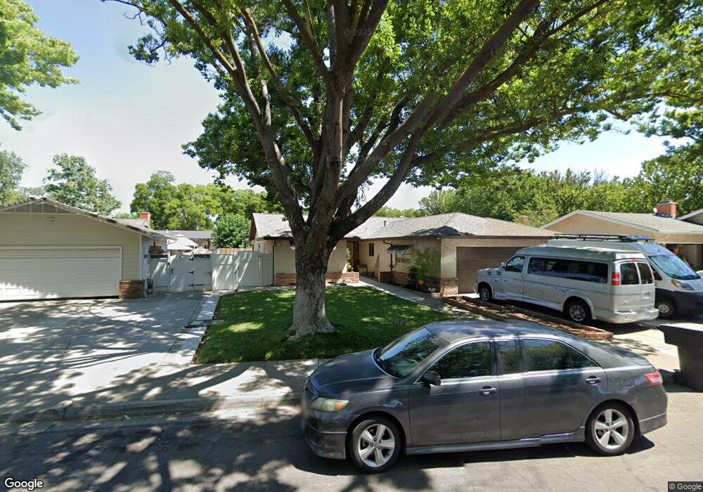
1921 Lancey Dr Modesto, CA 95355
Northeast Modesto NeighborhoodEstimated Value: $451,000 - $489,624
3
Beds
2
Baths
1,895
Sq Ft
$249/Sq Ft
Est. Value
About This Home
This home is located at 1921 Lancey Dr, Modesto, CA 95355 and is currently estimated at $471,406, approximately $248 per square foot. 1921 Lancey Dr is a home located in Stanislaus County with nearby schools including Coleman F. Brown Elementary School, Daniel J. Savage Middle School, and Fred C. Beyer High School.
Ownership History
Date
Name
Owned For
Owner Type
Purchase Details
Closed on
Aug 1, 2017
Sold by
Brewer M W and Brewer Judith
Bought by
Brewer Judith Anne and Brewer Michael Wayne
Current Estimated Value
Purchase Details
Closed on
Mar 22, 1994
Sold by
Mccoy Paul Edmond and Mccoy Andra Jean
Bought by
Brewer M W and Brewer Judith
Home Financials for this Owner
Home Financials are based on the most recent Mortgage that was taken out on this home.
Original Mortgage
$127,096
Interest Rate
8.1%
Mortgage Type
FHA
Create a Home Valuation Report for This Property
The Home Valuation Report is an in-depth analysis detailing your home's value as well as a comparison with similar homes in the area
Home Values in the Area
Average Home Value in this Area
Purchase History
| Date | Buyer | Sale Price | Title Company |
|---|---|---|---|
| Brewer Judith Anne | -- | None Available | |
| Brewer M W | $128,500 | First American Title Co |
Source: Public Records
Mortgage History
| Date | Status | Borrower | Loan Amount |
|---|---|---|---|
| Previous Owner | Brewer M W | $127,096 |
Source: Public Records
Tax History
| Year | Tax Paid | Tax Assessment Tax Assessment Total Assessment is a certain percentage of the fair market value that is determined by local assessors to be the total taxable value of land and additions on the property. | Land | Improvement |
|---|---|---|---|---|
| 2025 | $2,336 | $218,393 | $54,382 | $164,011 |
| 2024 | $2,292 | $214,112 | $53,316 | $160,796 |
| 2023 | $2,247 | $209,915 | $52,271 | $157,644 |
| 2022 | $2,155 | $205,800 | $51,247 | $154,553 |
| 2021 | $2,116 | $201,766 | $50,243 | $151,523 |
| 2020 | $2,084 | $199,698 | $49,728 | $149,970 |
| 2019 | $2,045 | $195,783 | $48,753 | $147,030 |
| 2018 | $2,003 | $191,946 | $47,798 | $144,148 |
| 2017 | $1,954 | $188,183 | $46,861 | $141,322 |
| 2016 | $1,941 | $184,494 | $45,943 | $138,551 |
| 2015 | $1,911 | $181,723 | $45,253 | $136,470 |
| 2014 | $1,903 | $178,164 | $44,367 | $133,797 |
Source: Public Records
Map
Nearby Homes
- 1900 Ellison Dr
- 1909 Devin Dr
- 1837 Celeste Dr
- 1813 Rose Ave
- 1509 Duportail Ave
- 2307 Oakdale Rd Unit 13
- 1805 Kienitz Ave
- 2101 Milford Ln
- 2113 Milford Ln
- 1517 Rosario Ave
- 2209 Perth Dr
- 2213 Lionudakis Ct
- 1805 E Orangeburg Ave
- 1316 Sharonwood Dr
- 1313 Sharonwood Dr
- 2313 San Rafael Ave
- 1312 Wylmawood Ln
- 1428 Kent Way
- 1309 Nelda Way
- 2408 Beatrice Ln
Your Personal Tour Guide
Ask me questions while you tour the home.