1970 New Highway 96 W Franklin, TN 37064
West Franklin NeighborhoodEstimated Value: $1,724,000 - $3,307,374
--
Bed
6
Baths
9,649
Sq Ft
$277/Sq Ft
Est. Value
About This Home
This home is located at 1970 New Highway 96 W, Franklin, TN 37064 and is currently estimated at $2,675,125, approximately $277 per square foot. 1970 New Highway 96 W is a home located in Williamson County with nearby schools including Walnut Grove Elementary School, Grassland Middle School, and Franklin High School.
Ownership History
Date
Name
Owned For
Owner Type
Purchase Details
Closed on
Nov 16, 2022
Sold by
Gentry James C
Bought by
Gentry John Scott
Current Estimated Value
Purchase Details
Closed on
Jan 30, 2014
Sold by
Westhaven Partners Llc
Bought by
Mike Ford Custom Builders Llc
Home Financials for this Owner
Home Financials are based on the most recent Mortgage that was taken out on this home.
Original Mortgage
$440,165
Interest Rate
4.51%
Mortgage Type
Construction
Purchase Details
Closed on
Sep 12, 1996
Sold by
Myers Fredrick H
Bought by
Gentry Family Ltd Partners
Create a Home Valuation Report for This Property
The Home Valuation Report is an in-depth analysis detailing your home's value as well as a comparison with similar homes in the area
Home Values in the Area
Average Home Value in this Area
Purchase History
| Date | Buyer | Sale Price | Title Company |
|---|---|---|---|
| Gentry John Scott | -- | -- | |
| Mike Ford Custom Builders Llc | $108,900 | None Available | |
| Gentry Family Ltd Partners | -- | -- |
Source: Public Records
Mortgage History
| Date | Status | Borrower | Loan Amount |
|---|---|---|---|
| Previous Owner | Mike Ford Custom Builders Llc | $440,165 |
Source: Public Records
Tax History Compared to Growth
Tax History
| Year | Tax Paid | Tax Assessment Tax Assessment Total Assessment is a certain percentage of the fair market value that is determined by local assessors to be the total taxable value of land and additions on the property. | Land | Improvement |
|---|---|---|---|---|
| 2025 | $4,017 | $294,225 | $108,100 | $186,125 |
| 2024 | $4,017 | $213,675 | $55,825 | $157,850 |
| 2023 | $3,762 | $200,125 | $55,825 | $144,300 |
| 2022 | $3,762 | $200,125 | $55,825 | $144,300 |
| 2021 | $3,762 | $200,125 | $55,825 | $144,300 |
| 2020 | $3,947 | $177,800 | $37,675 | $140,125 |
| 2019 | $3,947 | $177,800 | $37,675 | $140,125 |
| 2018 | $3,823 | $177,800 | $37,675 | $140,125 |
| 2017 | $3,823 | $177,800 | $37,675 | $140,125 |
| 2016 | $0 | $177,800 | $37,675 | $140,125 |
| 2015 | -- | $152,450 | $28,975 | $123,475 |
| 2014 | -- | $152,450 | $28,975 | $123,475 |
Source: Public Records
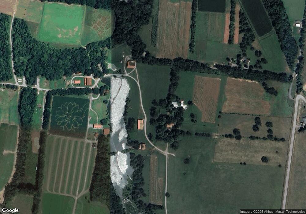
Map
Nearby Homes
- Plan 25822B - Jackson B at Hamilton
- Plan 25815 - Paisley A at Hamilton
- Plan 25821B - Brooks B at Hamilton
- Plan 25823B - The McBride B at Hamilton
- Plan 25821C - Brooks C at Hamilton
- Plan 25822 - Jackson A at Hamilton
- Plan 25822C - Jackson C at Hamilton
- Plan 25823 - The McBride A at Hamilton
- Plan 25814B - Stapleton B at Hamilton
- Plan 25814 - Stapleton A at Hamilton
- Plan 25823C - The McBride C at Hamilton
- Plan 25821 - Brooks A at Hamilton
- Plan 25825B - Whitley B at Hamilton
- Plan 25815B - Paisley B at Hamilton
- Plan 25814C - Stapleton C at Hamilton
- Plan 25825 - Whitley A at Hamilton
- Plan 25825C - Whitley C at Hamilton
- 128 Addison Ave
- 1091 Hamilton Way
- 119 Addison Ave
- 0 Old Charlotte Pike E Unit 1725126
- 871 Old Charlotte Pike E
- 0 Doug Thompson Tr 6 Unit 1947813
- 3105 Boyd Mill Pike
- 0 Hamilton St Unit 36443696
- 857 Old Charlotte Pike E
- 410 Wiregrass Ln
- 414 Wiregrass Ln
- 416 Wiregrass Ln
- 418 Wiregrass Ln
- 420 Wiregrass Ln
- 422 Wiregrass Ln
- 424 Wiregrass Ln
- 406 Wiregrass Ln
- 426 Wiregrass Ln
- 428 Wiregrass Ln
- 432 Wiregrass Ln
- 434 Wiregrass Ln
- 436 Wiregrass Ln
- 438 Wiregrass Ln