Estimated Value: $344,000 - $383,000
3
Beds
2
Baths
1,988
Sq Ft
$186/Sq Ft
Est. Value
About This Home
This home is located at 1972 Robin Ln N, Hugo, MN 55038 and is currently estimated at $369,705, approximately $185 per square foot. 1972 Robin Ln N is a home located in Anoka County with nearby schools including Centerville Elementary School, Centennial Middle School, and Centennial High School.
Ownership History
Date
Name
Owned For
Owner Type
Purchase Details
Closed on
Jun 29, 2021
Sold by
Lee Reginald Haney and Lee Joseph Haney
Bought by
Tincher Caroline Noel and Tincher Christopher Allan
Current Estimated Value
Home Financials for this Owner
Home Financials are based on the most recent Mortgage that was taken out on this home.
Original Mortgage
$280,250
Outstanding Balance
$254,283
Interest Rate
2.9%
Mortgage Type
New Conventional
Estimated Equity
$115,422
Purchase Details
Closed on
Sep 1, 2017
Sold by
Lee Joseph R
Bought by
Lee Joseph R and Haney Ii Reginald D
Home Financials for this Owner
Home Financials are based on the most recent Mortgage that was taken out on this home.
Original Mortgage
$219,942
Interest Rate
3.94%
Mortgage Type
Stand Alone First
Purchase Details
Closed on
Jun 27, 2017
Sold by
Veit Jeremy Lee and Veit Gina Ann
Bought by
Lee Joseph R
Home Financials for this Owner
Home Financials are based on the most recent Mortgage that was taken out on this home.
Original Mortgage
$219,942
Interest Rate
3.94%
Mortgage Type
Stand Alone First
Purchase Details
Closed on
Jul 7, 2015
Sold by
Veit Jeremy Lee and Veit Gina Anne
Bought by
Veit Jeremy Lee and Veit Gina Anne
Home Financials for this Owner
Home Financials are based on the most recent Mortgage that was taken out on this home.
Original Mortgage
$131,700
Interest Rate
3.83%
Mortgage Type
New Conventional
Purchase Details
Closed on
Oct 21, 2002
Sold by
Veit Davie and Veit Karen
Bought by
Veit Jeremy
Purchase Details
Closed on
Aug 5, 2002
Sold by
Bank One Na
Bought by
Veit Davie P
Create a Home Valuation Report for This Property
The Home Valuation Report is an in-depth analysis detailing your home's value as well as a comparison with similar homes in the area
Home Values in the Area
Average Home Value in this Area
Purchase History
| Date | Buyer | Sale Price | Title Company |
|---|---|---|---|
| Tincher Caroline Noel | $295,000 | Clear Title Llc | |
| Lee Joseph R | -- | None Available | |
| Lee Joseph R | $224,000 | Edgewater Title Group Llc | |
| Veit Jeremy Lee | -- | First American Title Ins Co | |
| Veit Jeremy | $135,000 | -- | |
| Veit Davie P | $92,000 | -- |
Source: Public Records
Mortgage History
| Date | Status | Borrower | Loan Amount |
|---|---|---|---|
| Open | Tincher Caroline Noel | $280,250 | |
| Previous Owner | Lee Joseph R | $219,942 | |
| Previous Owner | Lee Joseph R | $219,942 | |
| Previous Owner | Veit Jeremy Lee | $131,700 |
Source: Public Records
Tax History Compared to Growth
Tax History
| Year | Tax Paid | Tax Assessment Tax Assessment Total Assessment is a certain percentage of the fair market value that is determined by local assessors to be the total taxable value of land and additions on the property. | Land | Improvement |
|---|---|---|---|---|
| 2025 | $4,102 | $340,900 | $90,300 | $250,600 |
| 2024 | $4,102 | $334,300 | $96,300 | $238,000 |
| 2023 | $3,840 | $320,700 | $86,000 | $234,700 |
| 2022 | $3,099 | $323,700 | $79,400 | $244,300 |
| 2021 | $3,502 | $230,900 | $58,200 | $172,700 |
| 2020 | $2,992 | $234,000 | $72,700 | $161,300 |
| 2019 | $2,871 | $210,000 | $64,700 | $145,300 |
| 2018 | $2,361 | $191,100 | $0 | $0 |
| 2017 | $2,079 | $169,000 | $0 | $0 |
| 2016 | $2,126 | $143,000 | $0 | $0 |
| 2015 | $1,885 | $143,000 | $46,600 | $96,400 |
| 2014 | -- | $130,200 | $43,800 | $86,400 |
Source: Public Records
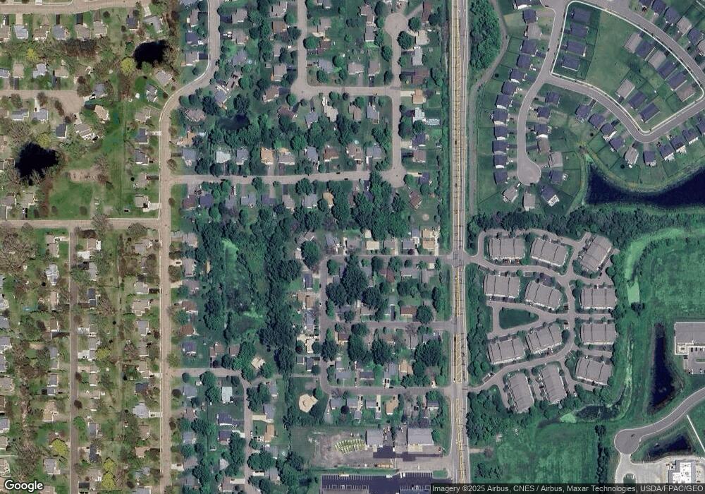
Map
Nearby Homes
- 2002 Willow Cir
- 2098 Willow Cir
- 7197 Brian Dr
- 7084 Cottonwood Ct
- 7309 Deer Pass Dr
- 2051 Diamond Ln
- 7317 Brian Dr
- 7353 20th Ave
- 1858 Laramee Ln
- 2173 Heron Ct
- 7393 Emily Cir
- 1820 Laramee Ln
- 1840 Old Mill Ct
- 7371 Old Mill Rd
- 7057 Dupre Rd
- 7333 Peltier Cir
- 6961 Meadow Ct
- 7296 Crane Dr
- Clearwater Plan at Watermark - Landmark Collection
- Courtland II Plan at Watermark - Heritage Collection
- 1978 Robin Ln N
- 1966 Robin Ln N
- 1977 Robin Ln N
- 1967 Robin Ln N
- 1984 Robin Ln N
- 1968 72nd St
- 1974 72nd St
- 1983 Robin Ln N
- 1960 Robin Ln N
- 1962 72nd St
- 1988 Robin Ln N
- 1980 72nd St
- 7193 Robin Ln W
- 7187 Robin Ln W
- 1989 Robin Ln N
- 1956 72nd St
- 1970 Cardinal Dr
- 1976 Cardinal Dr
- 1994 Robin Ln N
- 1982 Cardinal Dr