Estimated Value: $315,000 - $389,000
4
Beds
2
Baths
996
Sq Ft
$353/Sq Ft
Est. Value
About This Home
This home is located at 1977 Robin Ln S, Hugo, MN 55038 and is currently estimated at $351,873, approximately $353 per square foot. 1977 Robin Ln S is a home located in Anoka County with nearby schools including Centerville Elementary School, Centennial Middle School, and Centennial High School.
Ownership History
Date
Name
Owned For
Owner Type
Purchase Details
Closed on
Aug 15, 2003
Sold by
Bates Jeremy A and Bates Stephanie J
Bought by
Johnson Ryan L
Current Estimated Value
Purchase Details
Closed on
Mar 29, 2001
Sold by
Helm Julie
Bought by
Bates Jeremy A and Bates Stephanie J
Purchase Details
Closed on
Dec 28, 2000
Sold by
Anoka County Community Action
Bought by
Helm Julie A
Purchase Details
Closed on
Aug 1, 1995
Sold by
U S Dept Of Hud
Bought by
Anoka Co Community Action Prog I
Create a Home Valuation Report for This Property
The Home Valuation Report is an in-depth analysis detailing your home's value as well as a comparison with similar homes in the area
Home Values in the Area
Average Home Value in this Area
Purchase History
| Date | Buyer | Sale Price | Title Company |
|---|---|---|---|
| Johnson Ryan L | $173,000 | -- | |
| Bates Jeremy A | $131,500 | -- | |
| Helm Julie A | $98,000 | -- | |
| Anoka Co Community Action Prog I | $59,500 | -- |
Source: Public Records
Tax History Compared to Growth
Tax History
| Year | Tax Paid | Tax Assessment Tax Assessment Total Assessment is a certain percentage of the fair market value that is determined by local assessors to be the total taxable value of land and additions on the property. | Land | Improvement |
|---|---|---|---|---|
| 2025 | $4,437 | $303,600 | $85,800 | $217,800 |
| 2024 | $4,437 | $298,800 | $91,500 | $207,300 |
| 2023 | $4,316 | $289,300 | $86,000 | $203,300 |
| 2022 | $3,936 | $291,100 | $79,400 | $211,700 |
| 2021 | $4,073 | $222,400 | $58,200 | $164,200 |
| 2020 | $4,068 | $226,600 | $72,700 | $153,900 |
| 2019 | $4,059 | $216,700 | $64,700 | $152,000 |
| 2018 | $3,534 | $203,800 | $0 | $0 |
| 2017 | $3,570 | $181,200 | $0 | $0 |
| 2016 | $3,663 | $154,200 | $0 | $0 |
| 2015 | $3,407 | $154,200 | $46,600 | $107,600 |
| 2014 | -- | $132,400 | $43,800 | $88,600 |
Source: Public Records
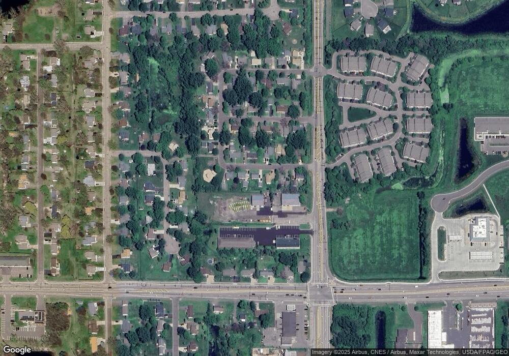
Map
Nearby Homes
- 2002 Willow Cir
- 2098 Willow Cir
- 7197 Brian Dr
- 7084 Cottonwood Ct
- 7309 Deer Pass Dr
- 2051 Diamond Ln
- 7317 Brian Dr
- 7353 20th Ave
- 2173 Heron Ct
- 7057 Dupre Rd
- 1858 Laramee Ln
- 7393 Emily Cir
- 1820 Laramee Ln
- 7371 Old Mill Rd
- 1840 Old Mill Ct
- 6961 Meadow Ct
- 7333 Peltier Cir
- 6868 Dupre Rd
- 7296 Crane Dr
- Clearwater Plan at Watermark - Landmark Collection
- 1971 Robin Ln S
- 1983 Robin Ln S
- 1976 Robin Ln S
- 1989 Robin Ln S
- 1965 Robin Ln S
- 1982 Robin Ln S
- 1970 Robin Ln S
- 1988 Robin Ln S
- 1977 Cardinal Dr
- 1995 Robin Ln S
- 1983 Cardinal Dr
- 1994 Robin Ln S
- 1967 Cardinal Dr
- 1989 Cardinal Dr
- 7169 Robin Ln W
- 1995 Cardinal Dr
- 1976 Cardinal Dr
- 1982 Cardinal Dr
- 1970 Cardinal Dr
- 1988 Cardinal Dr