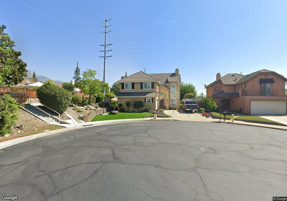
1998 Briar Path Trail Upland, CA 91784
Estimated Value: $789,247 - $981,000
4
Beds
3
Baths
1,951
Sq Ft
$449/Sq Ft
Est. Value
About This Home
This home is located at 1998 Briar Path Trail, Upland, CA 91784 and is currently estimated at $875,562, approximately $448 per square foot. 1998 Briar Path Trail is a home located in San Bernardino County with nearby schools including Pepper Tree Elementary, Pioneer Junior High School, and Upland High School.
Ownership History
Date
Name
Owned For
Owner Type
Purchase Details
Closed on
Sep 25, 2010
Sold by
Trull Lester M and Linn Trull Lupe
Bought by
Trull Lester M and Linn Trull Lupe
Current Estimated Value
Purchase Details
Closed on
Jun 18, 2003
Sold by
Paniagua Luis and Paniagua Olga
Bought by
Trull Lester M and Linn Trull Lupe
Home Financials for this Owner
Home Financials are based on the most recent Mortgage that was taken out on this home.
Original Mortgage
$244,000
Outstanding Balance
$101,986
Interest Rate
5.15%
Mortgage Type
Purchase Money Mortgage
Estimated Equity
$773,576
Purchase Details
Closed on
Jun 17, 1993
Sold by
Paniagua Luis and Paniagua Olga
Bought by
Paniagua Luis and Paniagua Olga
Create a Home Valuation Report for This Property
The Home Valuation Report is an in-depth analysis detailing your home's value as well as a comparison with similar homes in the area
Home Values in the Area
Average Home Value in this Area
Purchase History
| Date | Buyer | Sale Price | Title Company |
|---|---|---|---|
| Trull Lester M | -- | None Available | |
| Trull Lester M | $305,000 | Fidelity National Title | |
| Paniagua Luis | -- | -- |
Source: Public Records
Mortgage History
| Date | Status | Borrower | Loan Amount |
|---|---|---|---|
| Open | Trull Lester M | $244,000 |
Source: Public Records
Tax History
| Year | Tax Paid | Tax Assessment Tax Assessment Total Assessment is a certain percentage of the fair market value that is determined by local assessors to be the total taxable value of land and additions on the property. | Land | Improvement |
|---|---|---|---|---|
| 2025 | $4,785 | $433,649 | $151,778 | $281,871 |
| 2024 | $4,632 | $425,146 | $148,802 | $276,344 |
| 2023 | $4,560 | $416,809 | $145,884 | $270,925 |
| 2022 | $4,461 | $408,637 | $143,024 | $265,613 |
| 2021 | $4,453 | $400,625 | $140,220 | $260,405 |
| 2020 | $4,332 | $396,517 | $138,782 | $257,735 |
| 2019 | $4,316 | $388,742 | $136,061 | $252,681 |
| 2018 | $4,210 | $381,119 | $133,393 | $247,726 |
| 2017 | $4,088 | $373,646 | $130,777 | $242,869 |
| 2016 | $3,879 | $366,320 | $128,213 | $238,107 |
| 2015 | $3,789 | $360,817 | $126,287 | $234,530 |
| 2014 | $3,691 | $353,749 | $123,813 | $229,936 |
Source: Public Records
Map
Nearby Homes
- 1312 Darnell St
- 2048 Birkdale Ave
- 1214 Miller Ct
- 1830 Wilson Ave
- 1063 W 19th St
- 2166 Malati Cir
- 1798 Wilson Ave
- 2193 Lorraine Dr
- 959 Kenwood St
- 1756 Rosewood Way
- 1140 W 22nd St
- 1224 Fairway Cir
- 1254 Tamarisk Cir
- 907 Pineridge St
- 1904 Belmar Way
- 2257 Poppy Ave
- 2061 N Albright Ave
- 1693 N Mountain Ave Unit D
- 1279 Moss St
- 1691 N Mountain Ave
- 1994 Briar Path Trail
- 1990 Briar Path Trail
- 1346 Brookdale Dr
- 1350 Willowbrook Ln
- 1358 Willowbrook Ln
- 1999 Briar Trail
- 1999 Briar Path Trail
- 1995 Briar Trail
- 1995 Briar Path Trail
- 1366 Willowbrook Ln
- 1984 Briar Path Trail
- 1991 Briar Path Trail
- 1330 Brookdale Dr
- 1372 Willowbrook Ln
- 1985 Briar Trail
- 1985 Briar Path Trail
- 1980 Briar Path Trail
- 1324 Brookdale Dr
- 1998 Shady Brook Way
- 1378 Willowbrook Ln
Your Personal Tour Guide
Ask me questions while you tour the home.