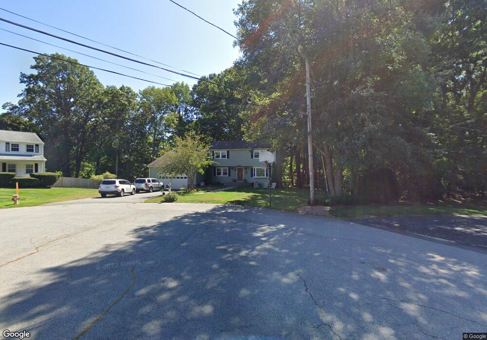
2 Russett Ln Andover, MA 01810
West Andover NeighborhoodEstimated Value: $936,000 - $1,123,000
4
Beds
3
Baths
2,136
Sq Ft
$468/Sq Ft
Est. Value
About This Home
This home is located at 2 Russett Ln, Andover, MA 01810 and is currently estimated at $1,000,456, approximately $468 per square foot. 2 Russett Ln is a home located in Essex County with nearby schools including Henry C. Sanborn Elementary School, Andover West Middle School, and Andover High School.
Create a Home Valuation Report for This Property
The Home Valuation Report is an in-depth analysis detailing your home's value as well as a comparison with similar homes in the area
Home Values in the Area
Average Home Value in this Area
Tax History
| Year | Tax Paid | Tax Assessment Tax Assessment Total Assessment is a certain percentage of the fair market value that is determined by local assessors to be the total taxable value of land and additions on the property. | Land | Improvement |
|---|---|---|---|---|
| 2024 | $10,130 | $786,500 | $438,400 | $348,100 |
| 2023 | $9,677 | $708,400 | $394,700 | $313,700 |
| 2022 | $9,110 | $624,000 | $343,300 | $280,700 |
| 2021 | $8,741 | $571,700 | $312,100 | $259,600 |
| 2020 | $8,415 | $560,600 | $304,600 | $256,000 |
| 2019 | $8,368 | $548,000 | $295,600 | $252,400 |
| 2018 | $8,097 | $517,700 | $284,300 | $233,400 |
| 2017 | $7,766 | $511,600 | $278,700 | $232,900 |
| 2016 | $7,609 | $513,400 | $278,700 | $234,700 |
| 2015 | $7,344 | $490,600 | $267,800 | $222,800 |
Source: Public Records
Map
Nearby Homes
- 11 Rennie Dr
- 18 Dale St Unit 9D
- 2 Garfield Ln W
- 1 Delisio Dr
- 6 Hearthstone Place
- 72 Tewksbury St
- 14 Jill's Way Unit 14
- 241 Lowell St Unit 3
- 105 Central St
- 58 Blanchard St
- 8 Stouffer Cir
- 14 Geneva Rd
- 15 Geneva Rd
- 3 West Hollow
- 6 Exeter Way
- 3 Torr St
- 11 Wyncrest Cir
- 31 Porter Rd
- 22 Haggetts Pond Rd
- 4 Hammond Way
Your Personal Tour Guide
Ask me questions while you tour the home.