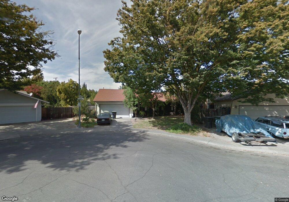
2001 Tunstead Ln Modesto, CA 95355
Northeast Modesto NeighborhoodEstimated Value: $390,000 - $426,000
3
Beds
2
Baths
1,242
Sq Ft
$327/Sq Ft
Est. Value
About This Home
This home is located at 2001 Tunstead Ln, Modesto, CA 95355 and is currently estimated at $406,391, approximately $327 per square foot. 2001 Tunstead Ln is a home located in Stanislaus County with nearby schools including Coleman F. Brown Elementary School, Daniel J. Savage Middle School, and Fred C. Beyer High School.
Ownership History
Date
Name
Owned For
Owner Type
Purchase Details
Closed on
Dec 5, 2013
Sold by
Jimmie and Sharon
Bought by
Null Family Trust
Current Estimated Value
Purchase Details
Closed on
Sep 3, 2003
Sold by
Mckinley Chris B
Bought by
Jimmie and Sharon
Purchase Details
Closed on
Dec 15, 2000
Sold by
Mckinley Chris B and Burchett Charlotte
Bought by
Mckinley Chris B
Purchase Details
Closed on
Jul 17, 1995
Sold by
Beneux Lester and Beneux Lillian J
Bought by
Mckinley Chris B and Burchett Charlotte
Home Financials for this Owner
Home Financials are based on the most recent Mortgage that was taken out on this home.
Original Mortgage
$101,380
Interest Rate
7.61%
Mortgage Type
FHA
Create a Home Valuation Report for This Property
The Home Valuation Report is an in-depth analysis detailing your home's value as well as a comparison with similar homes in the area
Home Values in the Area
Average Home Value in this Area
Purchase History
| Date | Buyer | Sale Price | Title Company |
|---|---|---|---|
| Null Family Trust | -- | None Available | |
| Jimmie | -- | -- | |
| Mckinley Chris B | $6,754 | -- | |
| Mckinley Chris B | $102,272 | North American Title Co |
Source: Public Records
Mortgage History
| Date | Status | Borrower | Loan Amount |
|---|---|---|---|
| Previous Owner | Mckinley Chris B | $101,380 |
Source: Public Records
Tax History
| Year | Tax Paid | Tax Assessment Tax Assessment Total Assessment is a certain percentage of the fair market value that is determined by local assessors to be the total taxable value of land and additions on the property. | Land | Improvement |
|---|---|---|---|---|
| 2025 | $1,872 | $169,429 | $41,520 | $127,909 |
| 2024 | $1,838 | $166,107 | $40,706 | $125,401 |
| 2023 | $1,803 | $162,851 | $39,908 | $122,943 |
| 2022 | $1,730 | $159,659 | $39,126 | $120,533 |
| 2021 | $1,700 | $156,529 | $38,359 | $118,170 |
| 2020 | $1,676 | $154,925 | $37,966 | $116,959 |
| 2019 | $1,645 | $151,888 | $37,222 | $114,666 |
| 2018 | $1,613 | $148,911 | $36,493 | $112,418 |
| 2017 | $1,574 | $145,992 | $35,778 | $110,214 |
| 2016 | $1,565 | $143,130 | $35,077 | $108,053 |
| 2015 | $1,542 | $140,981 | $34,551 | $106,430 |
| 2014 | $1,537 | $138,221 | $33,875 | $104,346 |
Source: Public Records
Map
Nearby Homes
- 1909 Devin Dr
- 1837 Celeste Dr
- 2021 Ellison Dr
- 2307 Oakdale Rd Unit 13
- 2101 Milford Ln
- 2113 Milford Ln
- 2209 Perth Dr
- 1509 Duportail Ave
- 1933 Lifetime Dr
- 2213 Lionudakis Ct
- 1924 Cota Way
- 1805 Kienitz Ave
- 2313 San Rafael Ave
- 1517 Rosario Ave
- 1530 Morene Way
- 2400 Walnut Grove Way
- 1805 E Orangeburg Ave
- 2204 Orchard Park Way
- 2408 Beatrice Ln
- 2429 Woodvale Dr
- 1741 Chartwell Place
- 2005 Tunstead Ln
- 1902 Celeste Ct
- 1907 Celeste Ct
- 1737 Chartwell Place
- 1828 Ellison Dr
- 2009 Tunstead Ln
- 1824 Ellison Dr
- 1832 Ellison Dr
- 2004 Tunstead Ln
- 1820 Ellison Dr
- 1733 Chartwell Place
- 2013 Tunstead Ln
- 1911 Celeste Ct
- 1911 Celeste Ct Unit C
- 1816 Ellison Dr
- 1728 Chartwell Place
- 2008 Tunstead Ln
- 1729 Chartwell Place
- 1910 Celeste Ct
Your Personal Tour Guide
Ask me questions while you tour the home.