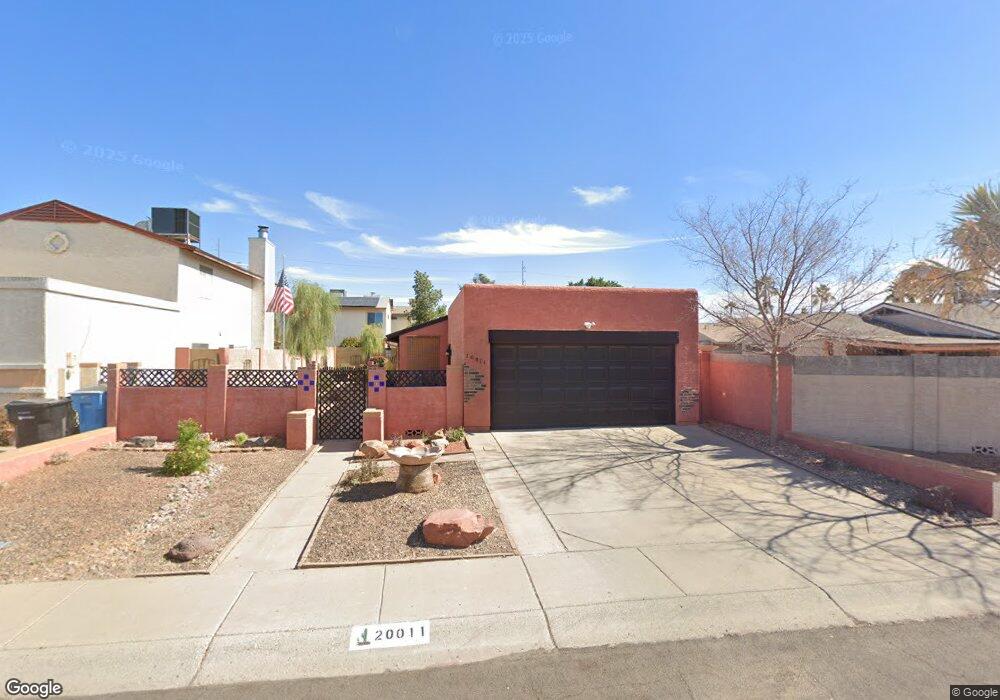
20011 N 10th St Phoenix, AZ 85024
North Central Phoenix NeighborhoodEstimated Value: $286,815 - $366,000
--
Bed
2
Baths
988
Sq Ft
$344/Sq Ft
Est. Value
About This Home
This home is located at 20011 N 10th St, Phoenix, AZ 85024 and is currently estimated at $340,204, approximately $344 per square foot. 20011 N 10th St is a home located in Maricopa County with nearby schools including Eagle Ridge Elementary School, Mountain Trail Middle School, and North Canyon High School.
Ownership History
Date
Name
Owned For
Owner Type
Purchase Details
Closed on
Jun 18, 1999
Sold by
Campagna Don and Campagna Eileen
Bought by
Strode James E
Current Estimated Value
Home Financials for this Owner
Home Financials are based on the most recent Mortgage that was taken out on this home.
Original Mortgage
$77,400
Outstanding Balance
$20,413
Interest Rate
7.05%
Mortgage Type
New Conventional
Estimated Equity
$319,791
Create a Home Valuation Report for This Property
The Home Valuation Report is an in-depth analysis detailing your home's value as well as a comparison with similar homes in the area
Home Values in the Area
Average Home Value in this Area
Purchase History
| Date | Buyer | Sale Price | Title Company |
|---|---|---|---|
| Strode James E | $86,000 | Arizona Title Agency Inc |
Source: Public Records
Mortgage History
| Date | Status | Borrower | Loan Amount |
|---|---|---|---|
| Open | Strode James E | $77,400 |
Source: Public Records
Tax History Compared to Growth
Tax History
| Year | Tax Paid | Tax Assessment Tax Assessment Total Assessment is a certain percentage of the fair market value that is determined by local assessors to be the total taxable value of land and additions on the property. | Land | Improvement |
|---|---|---|---|---|
| 2025 | $403 | $9,407 | -- | -- |
| 2024 | $378 | $8,959 | -- | -- |
| 2023 | $378 | $24,430 | $4,880 | $19,550 |
| 2022 | $372 | $18,700 | $3,740 | $14,960 |
| 2021 | $366 | $17,120 | $3,420 | $13,700 |
| 2020 | $340 | $15,660 | $3,130 | $12,530 |
| 2019 | $330 | $15,250 | $3,050 | $12,200 |
| 2018 | $305 | $13,730 | $2,740 | $10,990 |
| 2017 | $277 | $11,020 | $2,200 | $8,820 |
| 2016 | $258 | $10,410 | $2,080 | $8,330 |
| 2015 | $226 | $9,820 | $1,960 | $7,860 |
Source: Public Records
Map
Nearby Homes
- 1023 E Escuda Dr
- 1226 E Wahalla Ln
- 922 E Blackhawk Dr
- 1007 E Oraibi Dr
- 1118 E Wickieup Ln
- 1041 E Wickieup Ln
- 1313 E Piute Ave
- 20616 N 8th St
- 19601 N 7th St Unit 2026
- 19601 N 7th St Unit 2089
- 19601 N 7th St Unit 1036
- 19601 N 7th St Unit 1005
- 19601 N 7th St Unit 1056
- 19601 N 7th St Unit 1010
- 19601 N 7th St Unit 1009
- 758 E Irma Ln
- 764 E Irma Ln
- 1442 E Marco Polo Rd
- 829 E Potter Dr
- 910 E Potter Dr
- 20015 N 10th St
- 1002 E Wahalla Ln
- 1006 E Wahalla Ln
- 20019 N 10th St
- 1010 E Wahalla Ln
- 1025 E Escuda Dr
- 947 E Escuda Dr
- 946 E Wahalla Ln
- 1014 E Wahalla Ln
- 20023 N 10th St
- 1029 E Escuda Dr
- 943 E Escuda Dr
- 942 E Wahalla Ln
- 1018 E Wahalla Ln
- 1022 E Escuda Dr
- 950 E Escuda Dr
- 939 E Escuda Dr
- 948 E Escuda Dr
- 938 E Wahalla Ln
- 1005 E Wahalla Ln