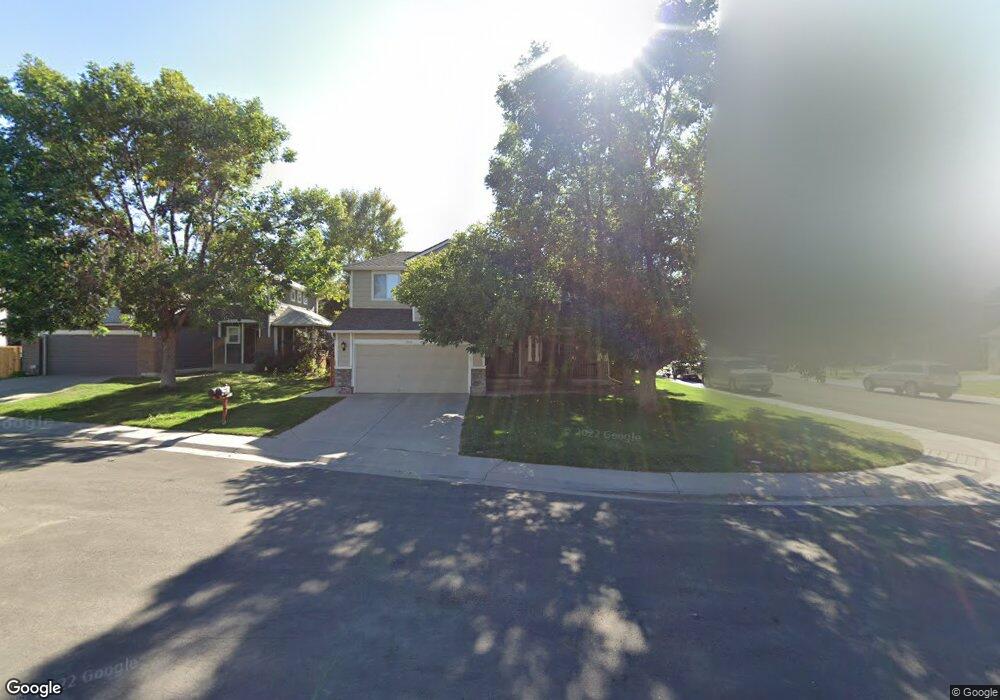
2010 E 133rd Ct Thornton, CO 80241
Hunters Glen NeighborhoodEstimated Value: $560,565 - $608,000
3
Beds
3
Baths
1,890
Sq Ft
$309/Sq Ft
Est. Value
About This Home
This home is located at 2010 E 133rd Ct, Thornton, CO 80241 and is currently estimated at $584,641, approximately $309 per square foot. 2010 E 133rd Ct is a home located in Adams County with nearby schools including Hunters Glen Elementary School, Century Middle School, and Mountain Range High School.
Ownership History
Date
Name
Owned For
Owner Type
Purchase Details
Closed on
Jul 24, 2000
Sold by
And Wolfe Steven D and Wolfe Lori E
Bought by
Pollock Daniel A and Pollock Amy K
Current Estimated Value
Home Financials for this Owner
Home Financials are based on the most recent Mortgage that was taken out on this home.
Original Mortgage
$194,320
Outstanding Balance
$66,573
Interest Rate
8.23%
Estimated Equity
$518,068
Purchase Details
Closed on
Nov 30, 1994
Sold by
Kaufman & Broad Of Colorado Inc
Bought by
Wolfe Steven D and Wolfe Lori E
Home Financials for this Owner
Home Financials are based on the most recent Mortgage that was taken out on this home.
Original Mortgage
$140,150
Interest Rate
8.99%
Create a Home Valuation Report for This Property
The Home Valuation Report is an in-depth analysis detailing your home's value as well as a comparison with similar homes in the area
Home Values in the Area
Average Home Value in this Area
Purchase History
| Date | Buyer | Sale Price | Title Company |
|---|---|---|---|
| Pollock Daniel A | $242,900 | North American Title Co | |
| Wolfe Steven D | $164,906 | -- |
Source: Public Records
Mortgage History
| Date | Status | Borrower | Loan Amount |
|---|---|---|---|
| Open | Pollock Daniel A | $194,320 | |
| Previous Owner | Wolfe Steven D | $140,150 | |
| Closed | Pollock Daniel A | $36,435 |
Source: Public Records
Tax History
| Year | Tax Paid | Tax Assessment Tax Assessment Total Assessment is a certain percentage of the fair market value that is determined by local assessors to be the total taxable value of land and additions on the property. | Land | Improvement |
|---|---|---|---|---|
| 2025 | $3,943 | $38,970 | $7,210 | $31,760 |
| 2024 | $3,943 | $35,820 | $6,630 | $29,190 |
| 2023 | $3,902 | $41,810 | $6,970 | $34,840 |
| 2022 | $3,070 | $27,870 | $7,160 | $20,710 |
| 2021 | $3,172 | $27,870 | $7,160 | $20,710 |
| 2020 | $3,021 | $27,080 | $7,360 | $19,720 |
| 2019 | $3,027 | $27,080 | $7,360 | $19,720 |
| 2018 | $2,971 | $25,820 | $7,490 | $18,330 |
| 2017 | $2,701 | $25,820 | $7,490 | $18,330 |
| 2016 | $2,470 | $22,980 | $4,300 | $18,680 |
| 2015 | $2,466 | $22,980 | $4,300 | $18,680 |
| 2014 | $2,400 | $20,800 | $3,820 | $16,980 |
Source: Public Records
Map
Nearby Homes
- 1672 E 131st Ct
- 7 Sandpiper Cir
- 58 Blue Heron Dr
- 13508 Vine St
- 12885 Vine St
- 1174 E 130th Dr
- 12905 Lafayette St Unit H
- 1960 E 135th Place
- 2275 E 129th Ave
- 13337 Elizabeth Ct
- 2297 E 128th Ave
- 2746 E 132nd Place
- 2942 E 135th Place
- 13486 Clayton St
- 13129 Elizabeth St
- 2973 E 133rd Ln
- 13262 Pearl Cir
- 13550 Washington St Unit 7C
- 13380 Milwaukee Ct
- 13142 Pennsylvania Cir
Your Personal Tour Guide
Ask me questions while you tour the home.