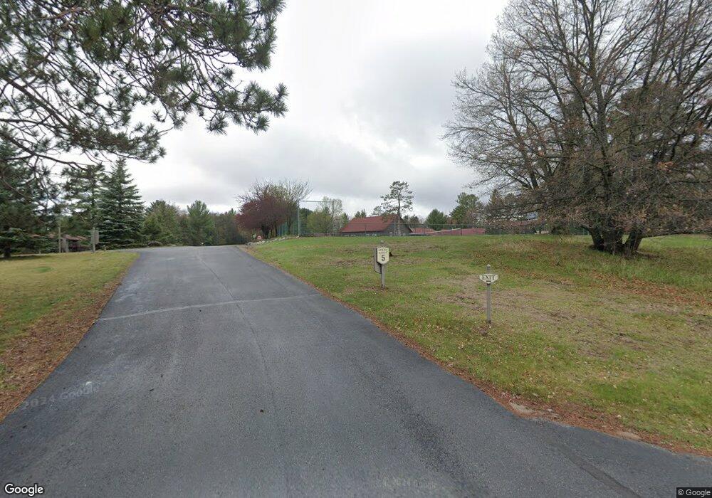
2012 Wild Eagle Ln Unit 127 Eagle River, WI 54521
Estimated Value: $429,435 - $454,000
3
Beds
2
Baths
1,520
Sq Ft
$290/Sq Ft
Est. Value
About This Home
This home is located at 2012 Wild Eagle Ln Unit 127, Eagle River, WI 54521 and is currently estimated at $441,478, approximately $290 per square foot. 2012 Wild Eagle Ln Unit 127 is a home located in Vilas County with nearby schools including Northland Pines High School, School of Options & Applied Research High School, and Christ Lutheran School.
Ownership History
Date
Name
Owned For
Owner Type
Purchase Details
Closed on
Sep 29, 2017
Sold by
Northwood Landing Llc
Bought by
Tabat Christopher G and Tabat Carolyn G
Current Estimated Value
Home Financials for this Owner
Home Financials are based on the most recent Mortgage that was taken out on this home.
Original Mortgage
$181,600
Outstanding Balance
$151,850
Interest Rate
3.86%
Mortgage Type
Commercial
Estimated Equity
$289,628
Purchase Details
Closed on
Jan 14, 2015
Sold by
Wilmington Savings Fund Society Fsb Not In It
Bought by
Primestar Fund I Trs Inc
Purchase Details
Closed on
Nov 10, 2014
Sold by
Kruse Timothy D and Eliason Richelle M
Bought by
Wilmington Savings Fund Society Fsb and Primestar H Fund I Trust
Create a Home Valuation Report for This Property
The Home Valuation Report is an in-depth analysis detailing your home's value as well as a comparison with similar homes in the area
Home Values in the Area
Average Home Value in this Area
Purchase History
| Date | Buyer | Sale Price | Title Company |
|---|---|---|---|
| Tabat Christopher G | $227,000 | Vilas Title Service Inc | |
| Primestar Fund I Trs Inc | $239,200 | -- | |
| Wilmington Savings Fund Society Fsb | $199,650 | None Available |
Source: Public Records
Mortgage History
| Date | Status | Borrower | Loan Amount |
|---|---|---|---|
| Open | Tabat Christopher G | $181,600 |
Source: Public Records
Tax History
| Year | Tax Paid | Tax Assessment Tax Assessment Total Assessment is a certain percentage of the fair market value that is determined by local assessors to be the total taxable value of land and additions on the property. | Land | Improvement |
|---|---|---|---|---|
| 2024 | $2,247 | $390,600 | $59,400 | $331,200 |
| 2023 | $2,510 | $390,600 | $59,400 | $331,200 |
| 2022 | $2,470 | $232,400 | $33,500 | $198,900 |
| 2021 | $2,393 | $232,400 | $33,500 | $198,900 |
| 2020 | $2,335 | $232,400 | $33,500 | $198,900 |
| 2019 | $2,342 | $232,400 | $33,500 | $198,900 |
| 2018 | $2,162 | $232,400 | $33,500 | $198,900 |
| 2017 | $2,172 | $232,400 | $33,500 | $198,900 |
| 2016 | $2,227 | $232,400 | $33,500 | $198,900 |
| 2015 | $2,083 | $232,400 | $33,500 | $198,900 |
| 2014 | $2,073 | $232,400 | $33,500 | $198,900 |
| 2013 | $2,353 | $232,400 | $33,500 | $198,900 |
Source: Public Records
Map
Nearby Homes
- 1972 Wild Eagle Ln Unit 103
- 2022 Wild Eagle Ln Unit 237
- 1982 Wild Eagle Ln Unit 109
- 1982 Wild Eagle Ln Unit 206
- 4181 Chain O Lakes Rd
- 4375 Hwy 17 Unit 1
- off Hwy 45 Unit 7A
- 1612 Mckinley Blvd
- 4530 Camp Amour Tr
- 4866 Cth G
- 1177 Eagle Wings Ln
- 813 Silver Lake Rd
- 3939 Eagle Waters Rd Unit 2
- 1717C Summers Dr Unit Building 1
- 3958 Eagle Waters Rd Unit 205/215
- 203 River St
- 1717 Summer Dr Unit 1
- 219 9th St
- 1348 Capich Dr
- 317 River St
- 2012 Wild Eagle Ln Unit 131
- 2012 Wild Eagle Ln
- 2012 Wild Eagle Ln Unit 2012
- 2012 Wild Eagle Ln Unit 132
- 2012 Wild Eagle Ln Unit 130
- 2002 Wild Eagle Ln Unit 126
- 1972 Wild Eagle Ln Unit 104
- 1972 Wild Eagle Ln Unit 105
- 2002 Wild Eagle Ln Unit 125
- 2012 Wild Eagle Ln Unit 129
- 2012 Wild Eagle Ln Unit 229
- 2012 Wild Eagle Ln Unit 227
- 2002 Wild Eagle Ln Unit 121
- 2012 Wild Eagle Ln Unit 231
- 2022 Wild Eagle Ln Unit 137
- 2002 Wild Eagle Ln Unit 137
- 2002 Wild Eagle Ln Unit 221
- 2002 Wild Eagle Ln Unit 224
- 1972 Wild Eagle Ln Unit 204
- 2002 Wild Eagle Ln
