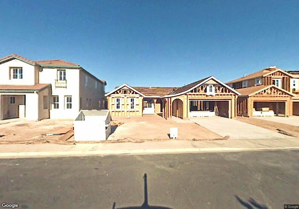
2017 Shasta Dr Atwater, CA 95301
Estimated Value: $419,000 - $459,000
4
Beds
2
Baths
1,842
Sq Ft
$239/Sq Ft
Est. Value
About This Home
This home is located at 2017 Shasta Dr, Atwater, CA 95301 and is currently estimated at $440,437, approximately $239 per square foot. 2017 Shasta Dr is a home located in Merced County with nearby schools including Mitchell Elementary School, Mitchell Intermediate School, and Atwater High School.
Ownership History
Date
Name
Owned For
Owner Type
Purchase Details
Closed on
Oct 7, 2021
Sold by
Perezchica Manuel and Perezchica Dorothy
Bought by
Perezchica Manuel and Perezchica Dorothy J
Current Estimated Value
Purchase Details
Closed on
Sep 28, 2007
Sold by
Bell Crossing Llc
Bought by
Perezchica Manny and Perezchica Dorothy
Home Financials for this Owner
Home Financials are based on the most recent Mortgage that was taken out on this home.
Original Mortgage
$219,063
Interest Rate
6.3%
Mortgage Type
VA
Create a Home Valuation Report for This Property
The Home Valuation Report is an in-depth analysis detailing your home's value as well as a comparison with similar homes in the area
Home Values in the Area
Average Home Value in this Area
Purchase History
| Date | Buyer | Sale Price | Title Company |
|---|---|---|---|
| Perezchica Manuel | -- | None Available | |
| Perezchica Manny | $240,500 | Transcounty Title Company |
Source: Public Records
Mortgage History
| Date | Status | Borrower | Loan Amount |
|---|---|---|---|
| Previous Owner | Perezchica Manny | $219,063 |
Source: Public Records
Tax History Compared to Growth
Tax History
| Year | Tax Paid | Tax Assessment Tax Assessment Total Assessment is a certain percentage of the fair market value that is determined by local assessors to be the total taxable value of land and additions on the property. | Land | Improvement |
|---|---|---|---|---|
| 2025 | $3,299 | $315,886 | $118,208 | $197,678 |
| 2024 | $3,299 | $309,693 | $115,891 | $193,802 |
| 2023 | $3,251 | $303,621 | $113,619 | $190,002 |
| 2022 | $3,157 | $297,669 | $111,392 | $186,277 |
| 2021 | $3,161 | $291,833 | $109,208 | $182,625 |
| 2020 | $3,263 | $288,842 | $108,089 | $180,753 |
| 2019 | $3,046 | $283,179 | $105,970 | $177,209 |
| 2018 | $2,955 | $277,628 | $103,893 | $173,735 |
| 2017 | $2,626 | $250,000 | $45,000 | $205,000 |
| 2016 | $2,408 | $224,000 | $45,000 | $179,000 |
| 2015 | $2,378 | $220,000 | $40,000 | $180,000 |
| 2014 | $2,098 | $193,000 | $30,000 | $163,000 |
Source: Public Records
Map
Nearby Homes
- 1988 Truckee Dr
- 1065 Vine St
- 1945 Shasta Dr
- 2355 Atwater Blvd Unit 18
- 2355 Atwater Blvd Unit 28
- 2355 Atwater Blvd Unit 1
- 1940 Truckee Dr
- 2125 Redding Way
- 2294 Olive Ave
- 0 Vine Ave Unit 224080034
- 2104 Redding Way
- 2108 George Washington Ct
- 1883 Sycamore Ave
- 2092 Patriotic Dr
- 1831 Olive Ave
- 1201 Sierra Vista St
- 1356 Sierra Vista St
- 2324 Crestview Dr
- 2409 Bonjour Ct
- 2451 Brodalski St
- 2021 Shasta Dr
- 2013 Shasta Dr
- 2009 Shasta Dr
- 2025 Shasta Dr
- 2116 Truckee Dr
- 2121 Novato Ct
- 2005 Shasta Dr
- 2029 Shasta Dr
- 2112 Truckee Dr
- 2117 Novato Ct
- 2033 Shasta Dr
- 2001 Shasta Dr
- 2034 Shasta Dr
- 2113 Novato Ct
- 2124 Novato Ct
- 2108 Truckee Dr
- 2037 Shasta Dr
- 2120 Novato Ct
- 2038 Shasta Dr
- 1997 Shasta Dr