2018 Tim Bell Rd Waterford, CA 95386
Estimated Value: $747,000 - $1,937,972
10
Beds
5
Baths
4,576
Sq Ft
$289/Sq Ft
Est. Value
About This Home
This home is located at 2018 Tim Bell Rd, Waterford, CA 95386 and is currently estimated at $1,322,991, approximately $289 per square foot. 2018 Tim Bell Rd is a home located in Stanislaus County with nearby schools including Lucille Whitehead Intermediate School, Richard M. Moon Primary School, and Waterford Junior.
Ownership History
Date
Name
Owned For
Owner Type
Purchase Details
Closed on
Oct 17, 2022
Sold by
Byrd William A and Byrd Angela M
Bought by
Byrd 2022 Living Trust
Current Estimated Value
Purchase Details
Closed on
Dec 21, 2011
Sold by
Byrd Larry A and Byrd Cheryl D
Bought by
Byrd Larry A and Byrd Cheryl D
Purchase Details
Closed on
Apr 2, 2002
Sold by
Leask Robert Trask
Bought by
Byrd Larry A and Byrd Cheryl D
Home Financials for this Owner
Home Financials are based on the most recent Mortgage that was taken out on this home.
Original Mortgage
$432,000
Interest Rate
6.78%
Mortgage Type
Credit Line Revolving
Create a Home Valuation Report for This Property
The Home Valuation Report is an in-depth analysis detailing your home's value as well as a comparison with similar homes in the area
Home Values in the Area
Average Home Value in this Area
Purchase History
| Date | Buyer | Sale Price | Title Company |
|---|---|---|---|
| Byrd 2022 Living Trust | -- | -- | |
| Byrd Larry A | -- | None Available | |
| Byrd Larry A | $525,000 | Chicago Title Co |
Source: Public Records
Mortgage History
| Date | Status | Borrower | Loan Amount |
|---|---|---|---|
| Previous Owner | Byrd Larry A | $432,000 |
Source: Public Records
Tax History Compared to Growth
Tax History
| Year | Tax Paid | Tax Assessment Tax Assessment Total Assessment is a certain percentage of the fair market value that is determined by local assessors to be the total taxable value of land and additions on the property. | Land | Improvement |
|---|---|---|---|---|
| 2025 | $12,966 | $1,097,978 | $553,027 | $544,951 |
| 2024 | $12,447 | $1,056,364 | $533,925 | $522,439 |
| 2023 | $13,013 | $1,121,968 | $535,752 | $586,216 |
| 2022 | $12,748 | $1,087,210 | $410,667 | $676,543 |
| 2021 | $12,726 | $1,065,894 | $402,615 | $663,279 |
| 2020 | $12,567 | $1,054,966 | $398,487 | $656,479 |
| 2019 | $10,819 | $894,085 | $390,674 | $503,411 |
| 2018 | $9,851 | $810,555 | $383,014 | $427,541 |
| 2017 | $7,491 | $623,563 | $339,209 | $284,354 |
| 2016 | $7,287 | $604,539 | $325,760 | $278,779 |
| 2015 | $6,843 | $591,177 | $303,468 | $287,709 |
| 2014 | $7,051 | $568,210 | $291,114 | $277,096 |
Source: Public Records
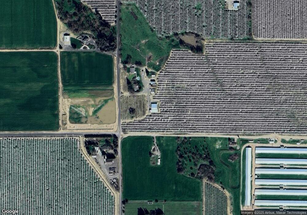
Map
Nearby Homes
- 14954 Tim Bell Rd
- 604 Amber Dr
- 10224 Cope Ln
- 13601 Bentley St
- 13247 Vineyard Rd
- 13362 Welch St
- 201 Coastal Ln
- 106 Marina Ln
- Maverick Plan at Trestle
- Rockaway Plan at Trestle
- Montara Plan at Trestle
- Stinson Plan at Trestle
- 13702 Channel Ln
- 13317 Fountain Dr
- 13163 Enid Dr
- 13295 Aura Ln
- 229 Petichia Place
- 12933 Main St
- 618 Denton Rd
- 12795 Bonnie Brae Ave
- 2105 Tim Bell Rd
- 1831 Hazel Dean Rd
- 1830 Hazel Dean Rd
- 1852 Tim Bell Rd
- 2300 Tim Bell Rd
- 1626 Hazeldean Rd
- 1626 Hazel Dean Rd
- 1554 Hazel Dean Rd
- 2601 Tim Bell Rd
- 2618 Tim Bell Rd
- 1460 Hazel Dean Rd
- 1442 Hazel Dean Rd
- 15422 Tim Bell Rd
- 15442 Tim Bell Rd
- 2902 Tim Bell Rd
- 15343 Tim Bell Rd
- 1329 Hazel Dean Rd
- 3100 Tim Bell Rd
- 2811 Tim Bell Rd
- 15339 Tim Bell Rd